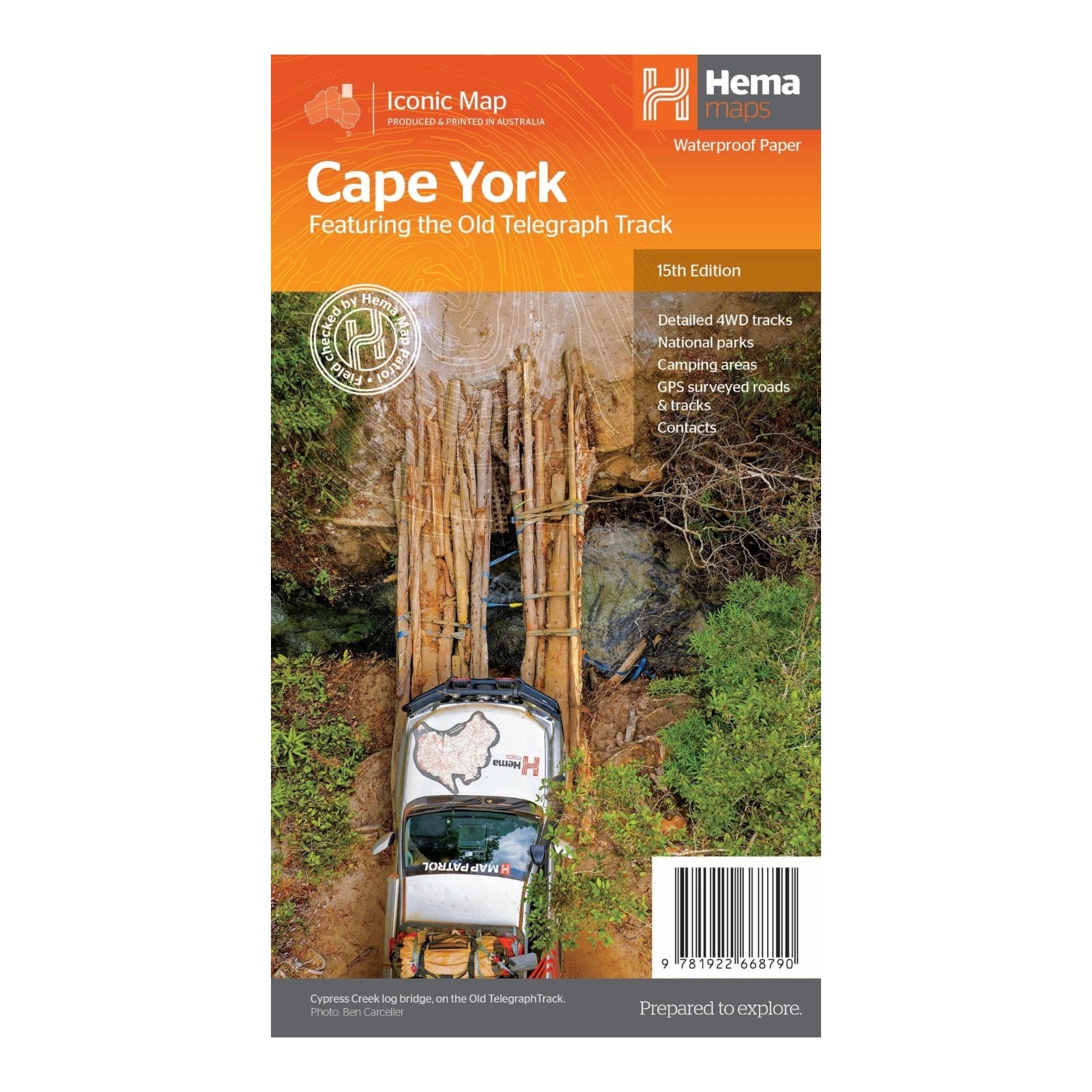
HEMA MAP CAPE YORK
Hema's Cape York Map is an essential tool for anyone exploring the rugged and breathtaking landscapes of Australia's northernmost tip. Designed with meticulous detail and durability, this map is perfect for adventurers and four-wheel drive enthusiasts. Its waterproof paper ensures that it withstands the harshest weather conditions, maintaining legibility and usability in the remote and unpredictable terrain of Cape York.
This latest edition provides comprehensive coverage of roads and tracks, including key routes such as the Old Telegraph Track and Frenchmans Track. It also includes valuable supplementary information, such as camping areas, national parks, accommodation options, and distances, helping you plan your journey with ease. Whether you prefer to camp under the stars or stay in established campgrounds, this map caters to all preferences.
New to this edition are detailed inset maps for the CREB Track and Rinyirru (Lakefield) National Park, offering enhanced accuracy for these specific regions. With these updates and detailed coverage, Hema's Cape York Map equips you with the most current and thorough information, ensuring a well-planned and memorable adventure through Cape York's stunning wilderness.
FEATURES:
- Detailed 4WD tracks
- National parks
- Camping areas
- GPS surveyed roads & tracks
- New inset maps for the CREB Track and Rinyirru (Lakefield) National Park
- Local contact information
- Waterproof paper
SPECIFICATIONS:
- Edition: 15th
- Publication Date: 01/09/23
- Scale: 1:1,000,000
- Folded size: 140 x 250 x 3mm
- Flat size: 700 x 1000mm
- Weight: 0.09kgs


