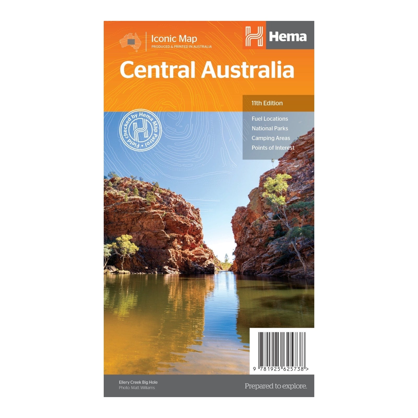
HEMA MAP CENTRAL AUSTRALIA
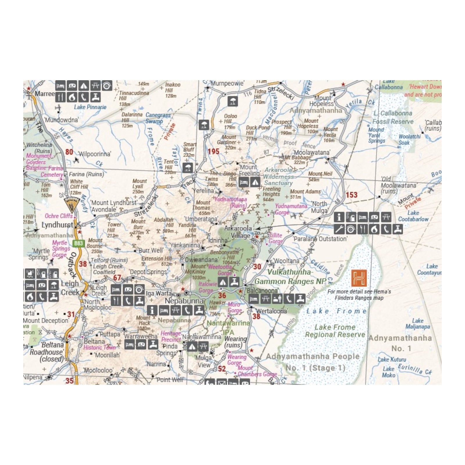
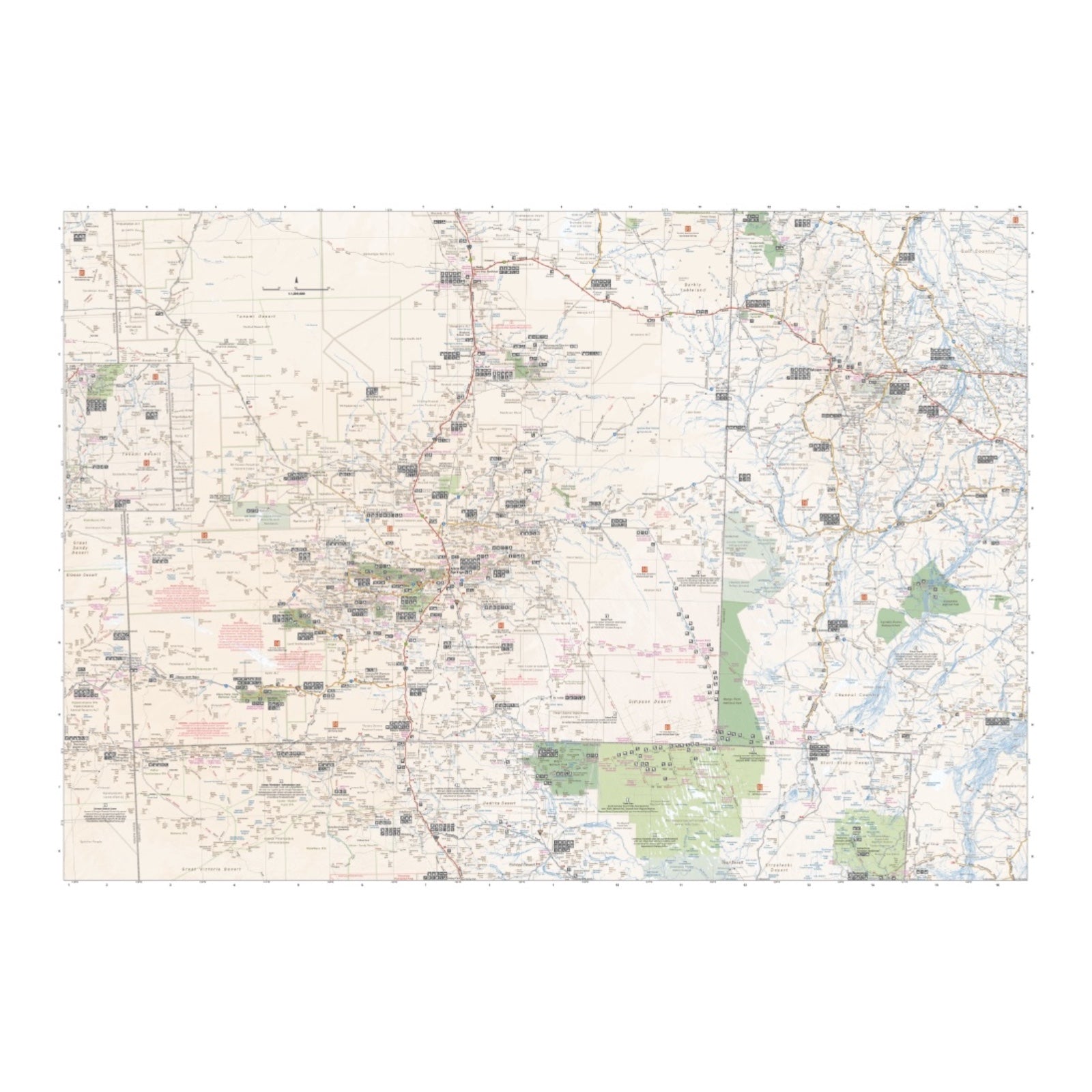
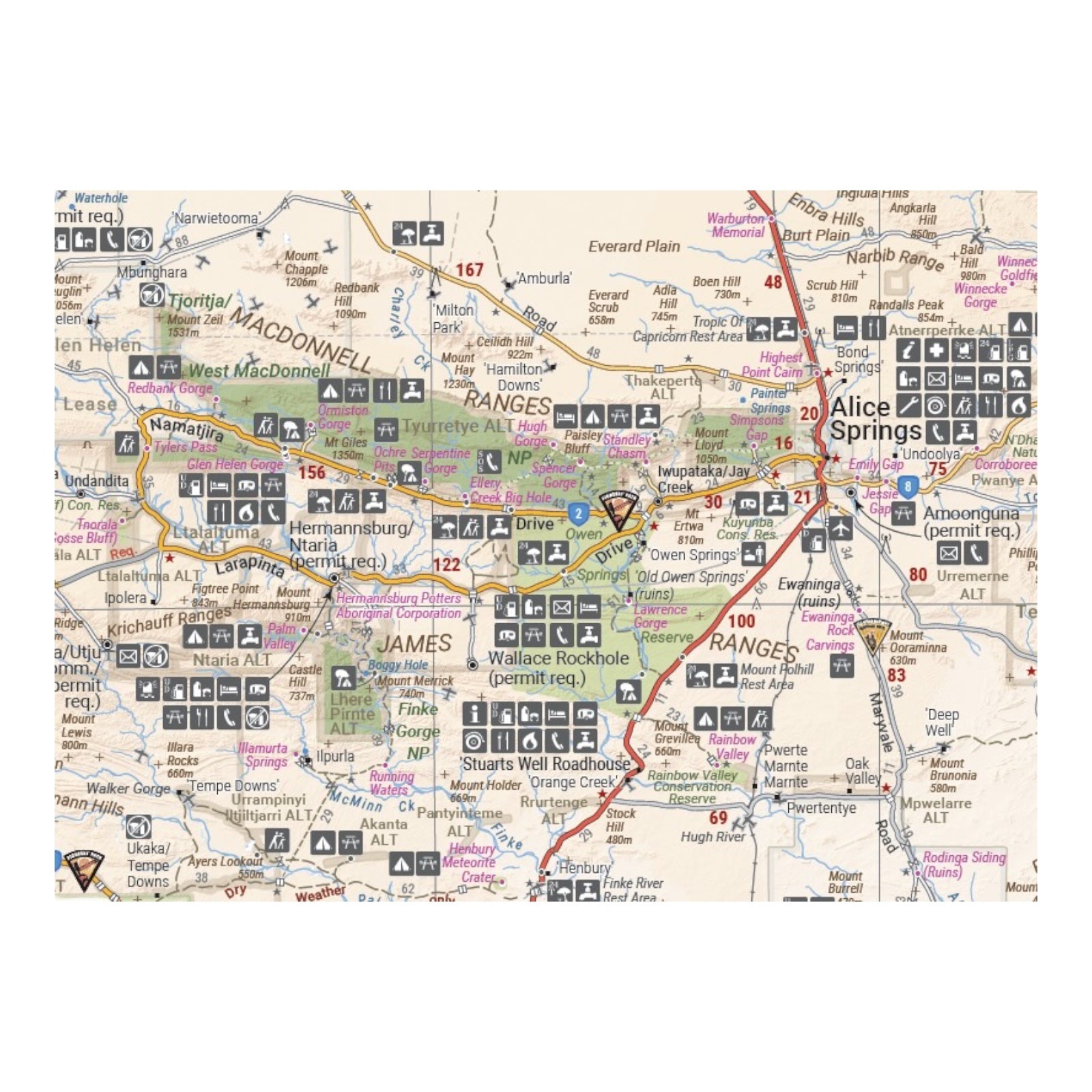
This map of the Central Australia region, scaled at 1:1,500,000, is perfect for exploring some of Australia's most iconic landscapes. It covers the area around Alice Springs, including significant landmarks such as Uluru, Kata Tjuta, the West MacDonnell Ranges, and the Simpson Desert. Notable tracks like the Hay River Track are also detailed.
Stretching across both sides of the map, it provides extensive information on indigenous areas, including where permits are required, as well as national parks, deserts, fuel locations, camping areas, and various points of interest. This comprehensive map is an invaluable resource for navigating and appreciating the vast and culturally rich landscapes of Central Australia.
FEATURES:
- GSP surveyed roads and tracks
- Fuel stops
- 4WD tracks
- Camping and rest areas
- Historic sites
SPECIFICATIONS:
- Edition: 11th
- Publication Date: 15/04/19
- Scale: 1:1,500,000
- Folded size: 140 x 250 x 2mm
- Flat size: 700 x 1000mm
- Weight: 0.07kgs


