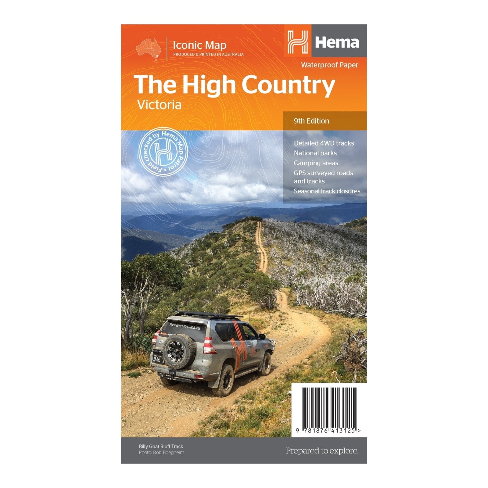
HEMA MAP HIGH COUNTRY VICTORIA
This edition of Hema's best-selling High Country map is crafted on durable waterproof paper, ensuring resilience in rugged conditions. It showcases Hema’s iconic mapping and an extensive array of points of interest. The map includes roads and 4WD tracks that have been field-checked by the Hema Map Patrol for superior accuracy.
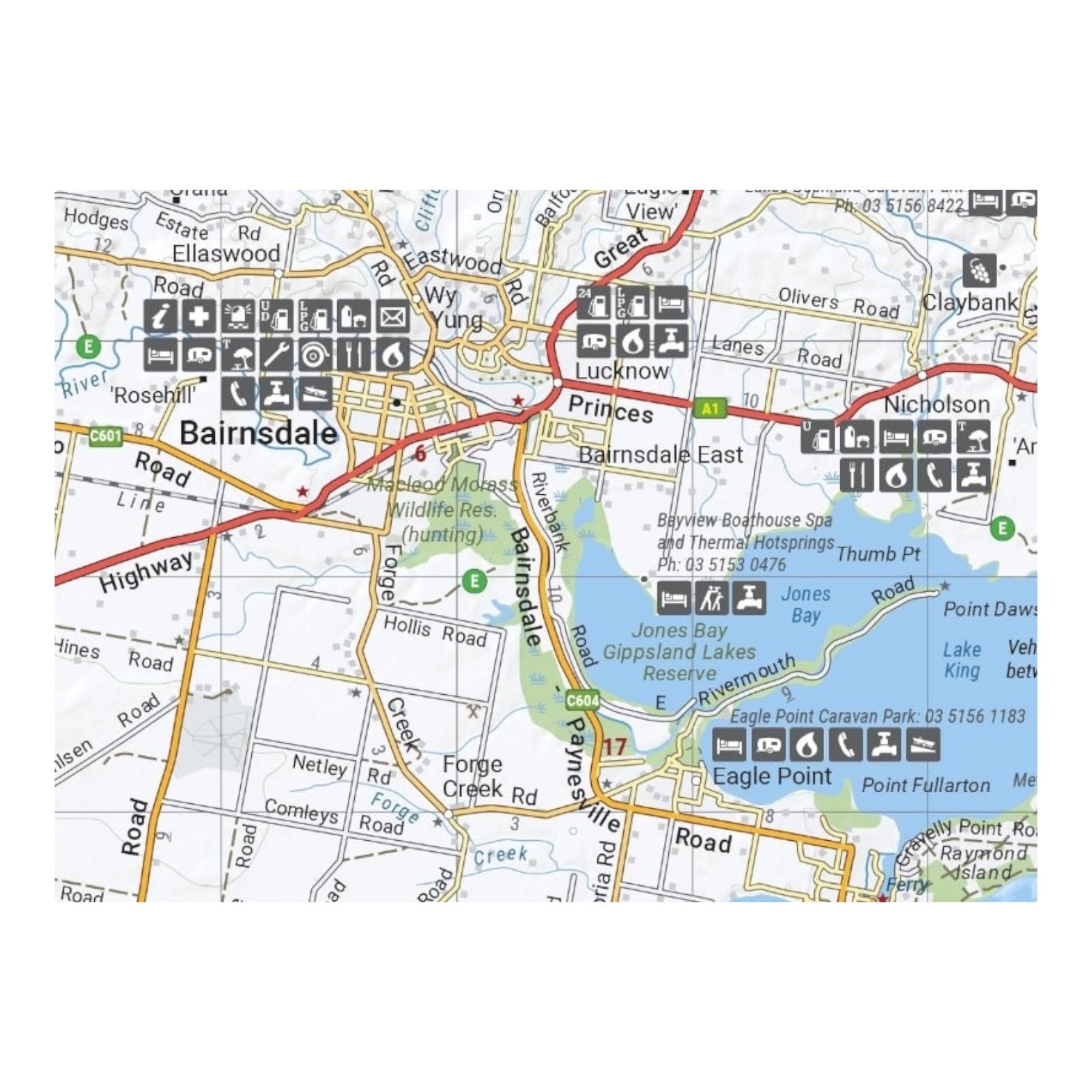
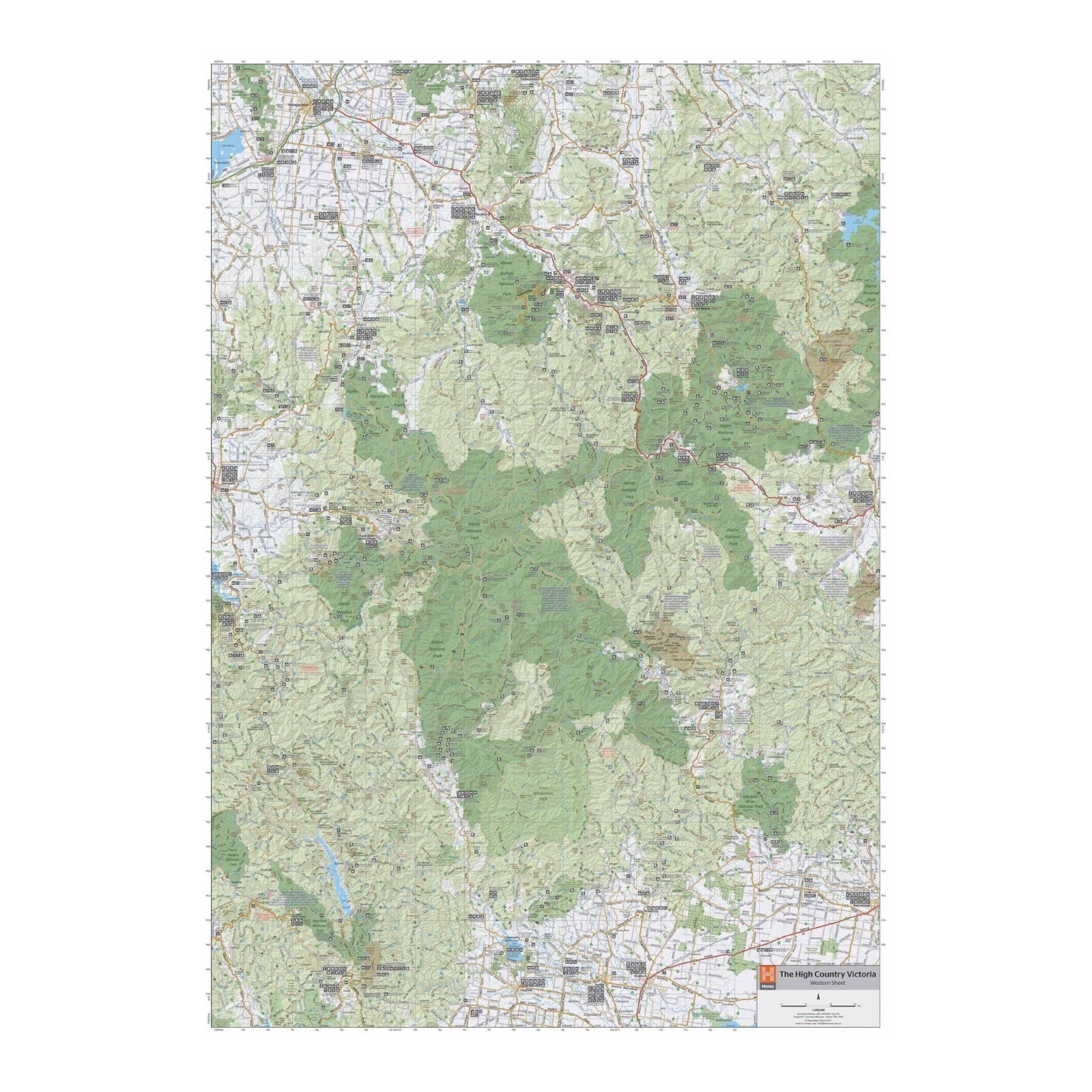
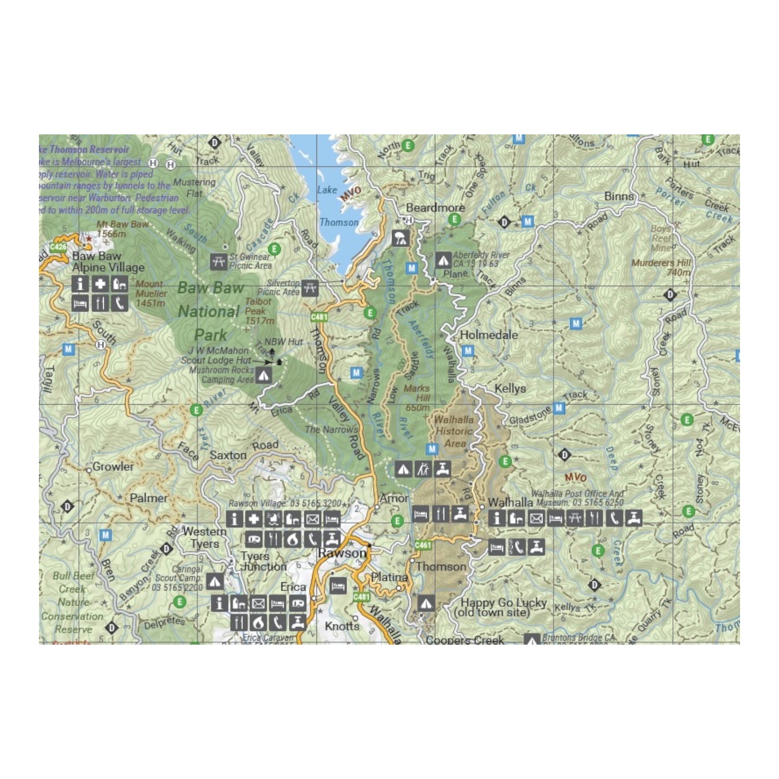
It integrates Hema’s comprehensive database of roads and 4WD tracks with detailed touring points of interest and topographic information. Additionally, the map features seasonal track closures, camping areas, historical townsites, huts, accommodation options, and distance measurements, making it an invaluable resource for navigating and exploring the High Country.
FEATURES:
- 4WD tracks
- Huts
- Camping areas
- Old townsites
- Seasonal track closures
- Road distances
- Accommodation
SPECIFICATIONS:
- Edition: 9th
- Publication Date: 01/03/17
- Scale: 1:1,200,000
- Folded size: 140 x 250 x 3mm
- Flat size: 700 x 1000mm
- Weight: 0.09kgs


