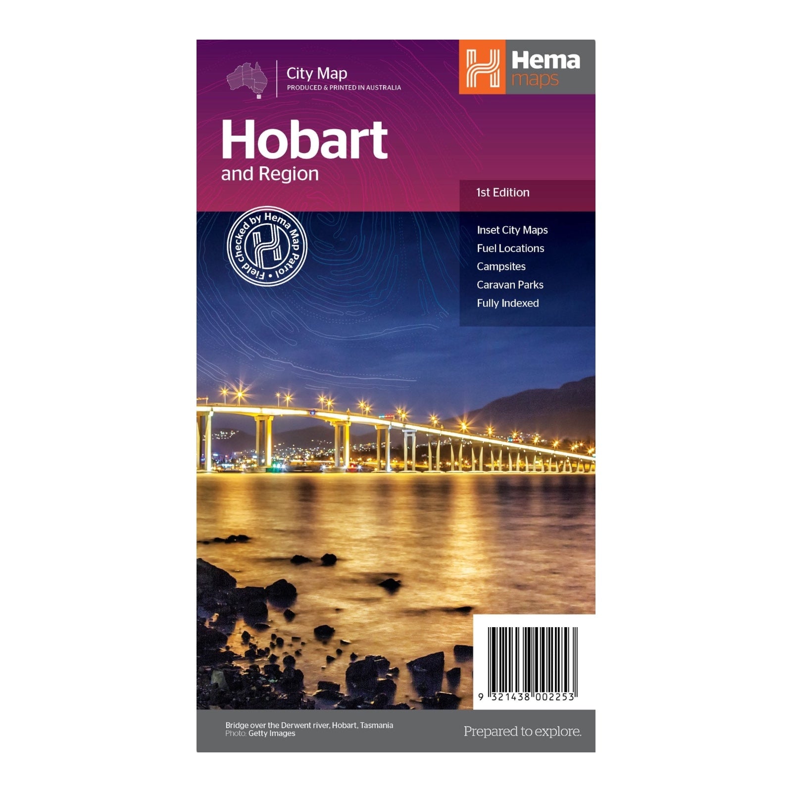
HEMA MAP HOBART & REGION
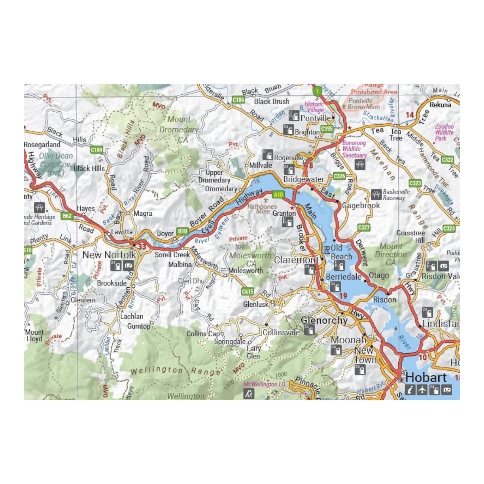
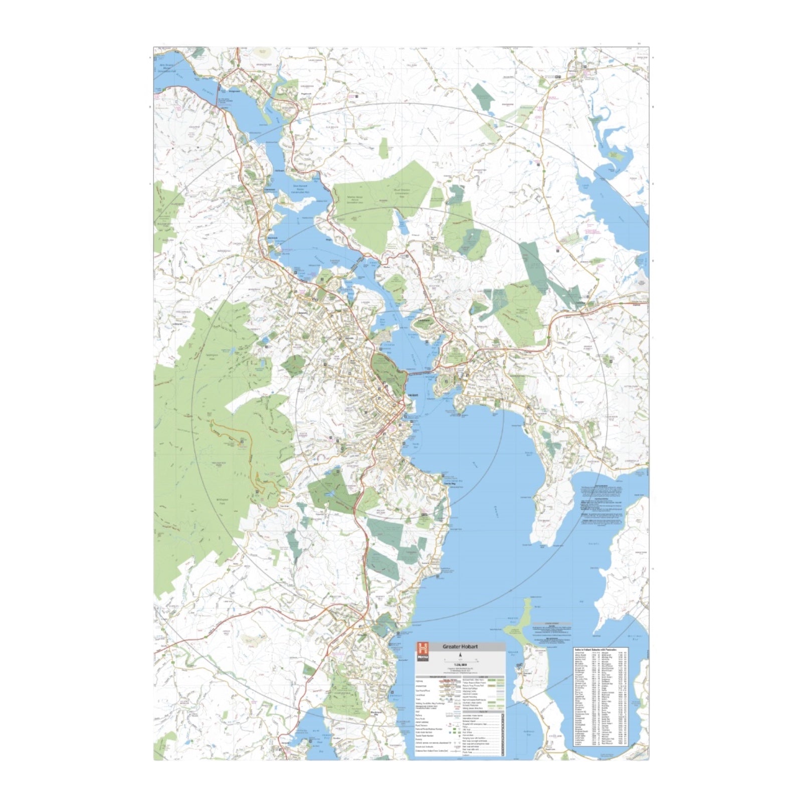
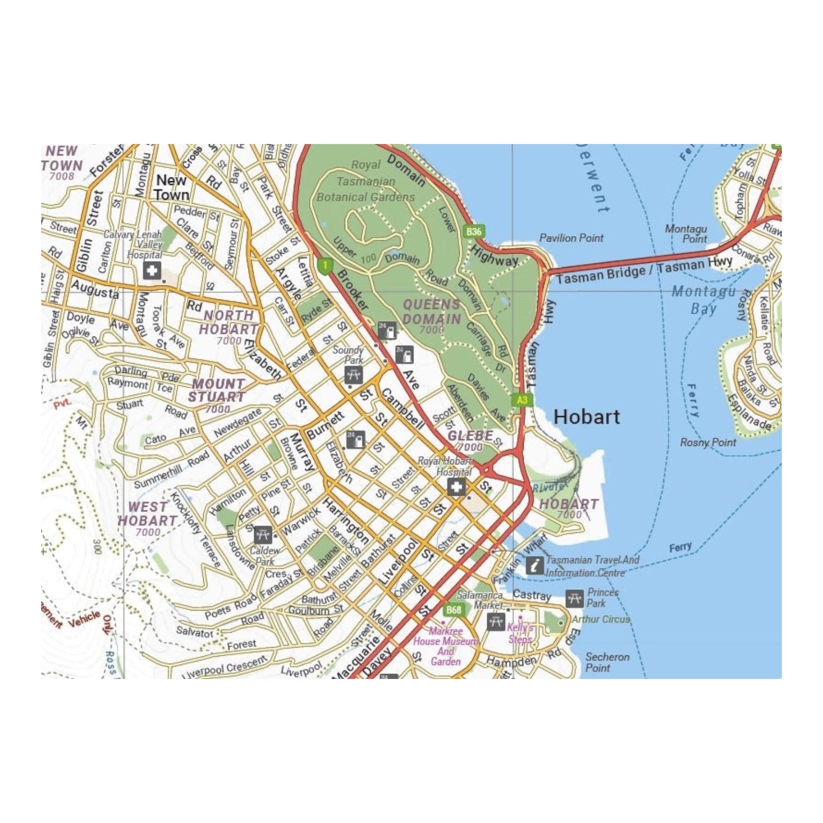
This map offers a comprehensive guide to the greater Hobart region with detailed coverage on both sides. One side features an intricate map of Hobart at a scale of 1:35,000, highlighting the city's layout and key features. It also includes a lower scale overview of the Hobart CBD (1:14,000), Launceston city and region (1:25,000), and a broader Greater Hobart area (1:250,000) on the reverse.
Hobart, Tasmania's capital and Australia's second oldest capital city after Sydney, is nestled at the mouth of the Derwent River. The city is surrounded by pristine bushland and boasts picturesque beaches along the river and estuary. This map is perfect for exploring Hobart’s notable landmarks, including the stunning views from kunanyi / Mount Wellington, the vibrant Salamanca Markets, the historic Port Arthur, and cultural treasures like the Museum of Old and New Art (Mona). With this map, you'll have a detailed and extensive overview of Hobart and its surrounding attractions.
FEATURES:
- Fully indexed primary Map of the greater Hobart region at a scale of 1:35,000 and showing fuel locations, campsites and caravan parks
- Detailed maps of the Hobart CBD, Launceston Region and broader Greater Hobart region including major tourist attractions and accommodation
- Overview of significant places to visit in Hobart and the surrounding region.
SPECIFICATIONS:
- Edition: 1st
- Publication Date: 15/02/21
- Scale: 1:35,000
- Folded size: 118 x 250 x 3mm
- Flat size: 700 x 1000mm
- Weight: 0.07kgs


