HEMA MAP NORTHERN TERRITORY
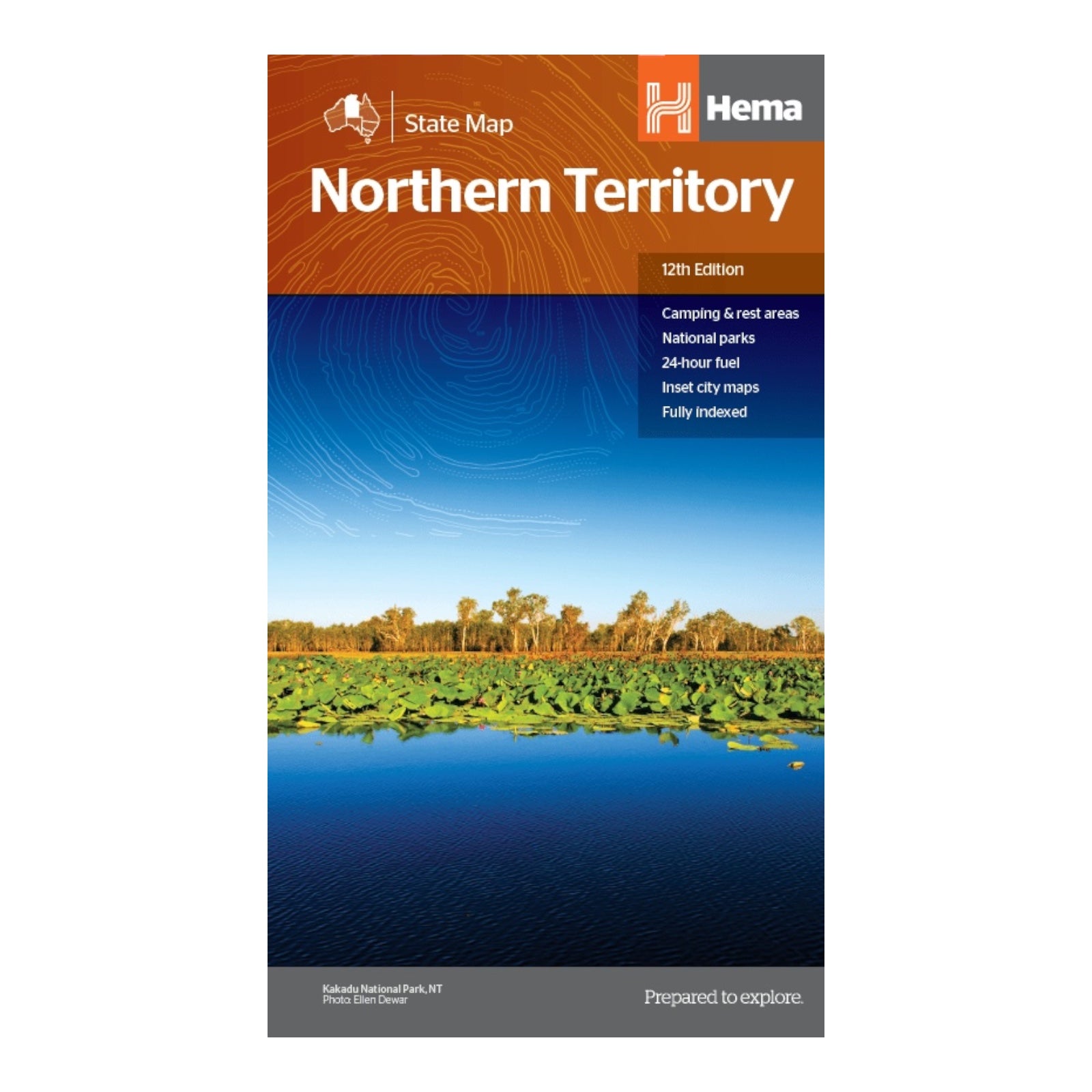
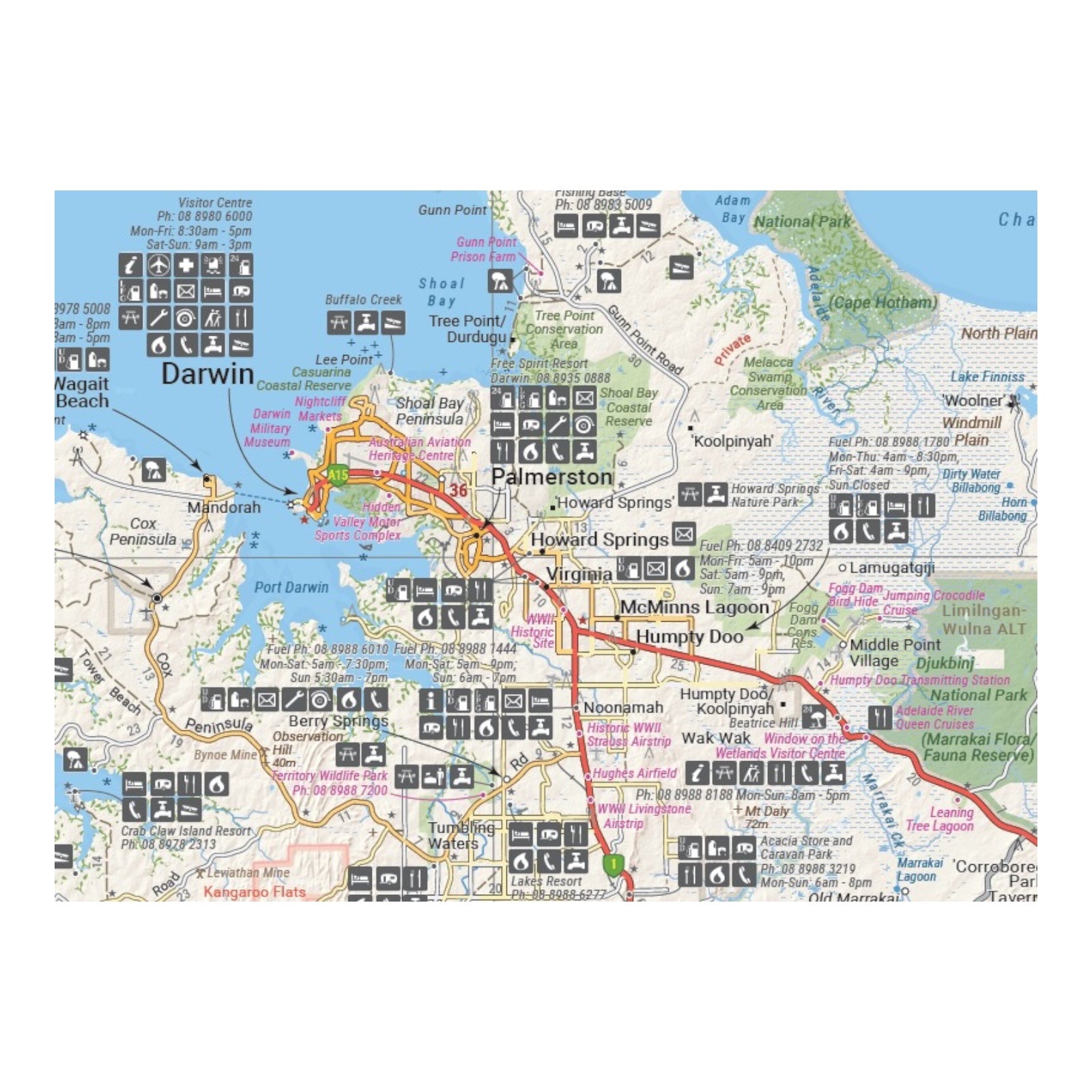
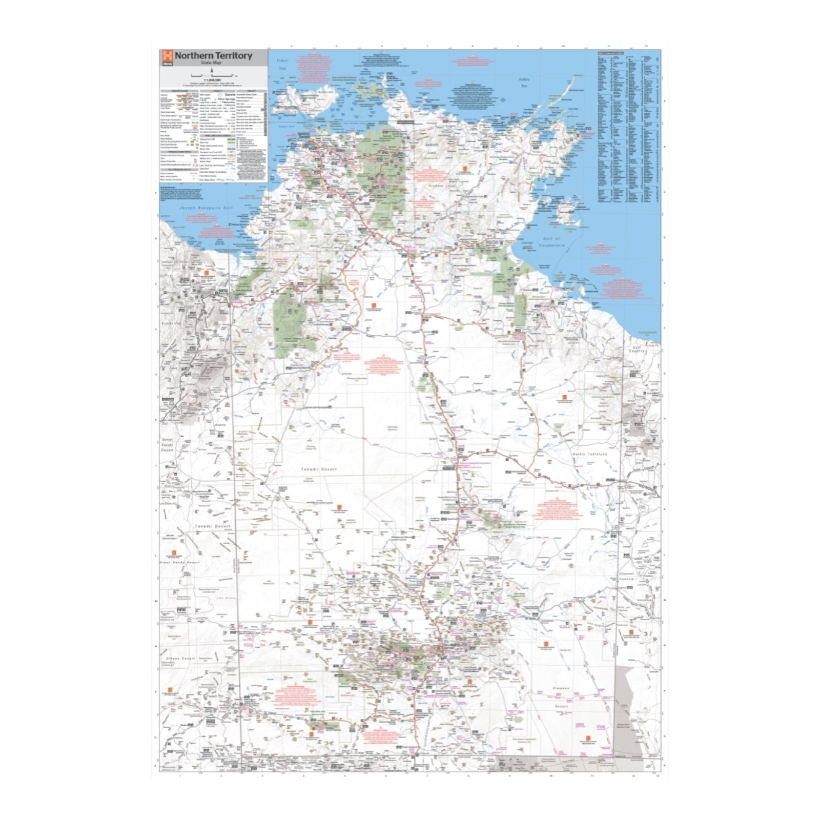
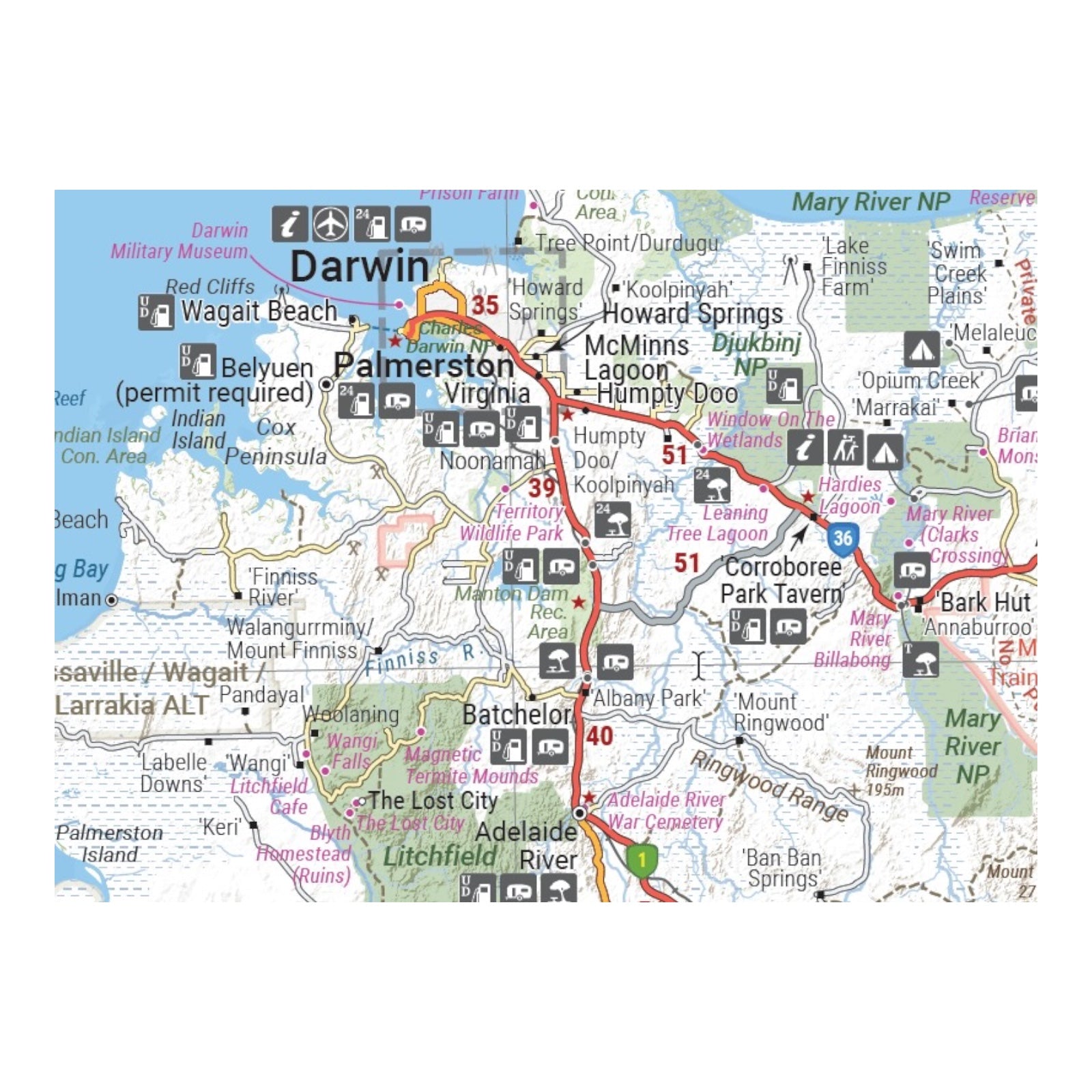
This map of the Northern Territory is designed to support comprehensive trip planning and exploration. It features essential details such as camping and rest areas, 24-hour fuel stations, and various points of interest.
On the reverse side, the map includes through road maps of Darwin and Alice Springs, along with a detailed map of the greater Darwin region. For trip planning, it provides a national park matrix and contact details for information centers, ensuring you have the necessary resources for navigating and enjoying the Northern Territory.
FEATURES:
- GPS surveyed roads and tracks
- Fuel stops 4WD tracks
- Camping areas
- Historic sites
- Detailed inset maps
- Waterproof/Durable paper
SPECIFICATIONS:
- Edition: 12th
- Publication Date: 28/10/19
- Scale: 1:1,800,000
- Folded size: 140 x 250 x 3mm
- Flat size: 700 x 1000mm
- Weight: 0.09kgs


