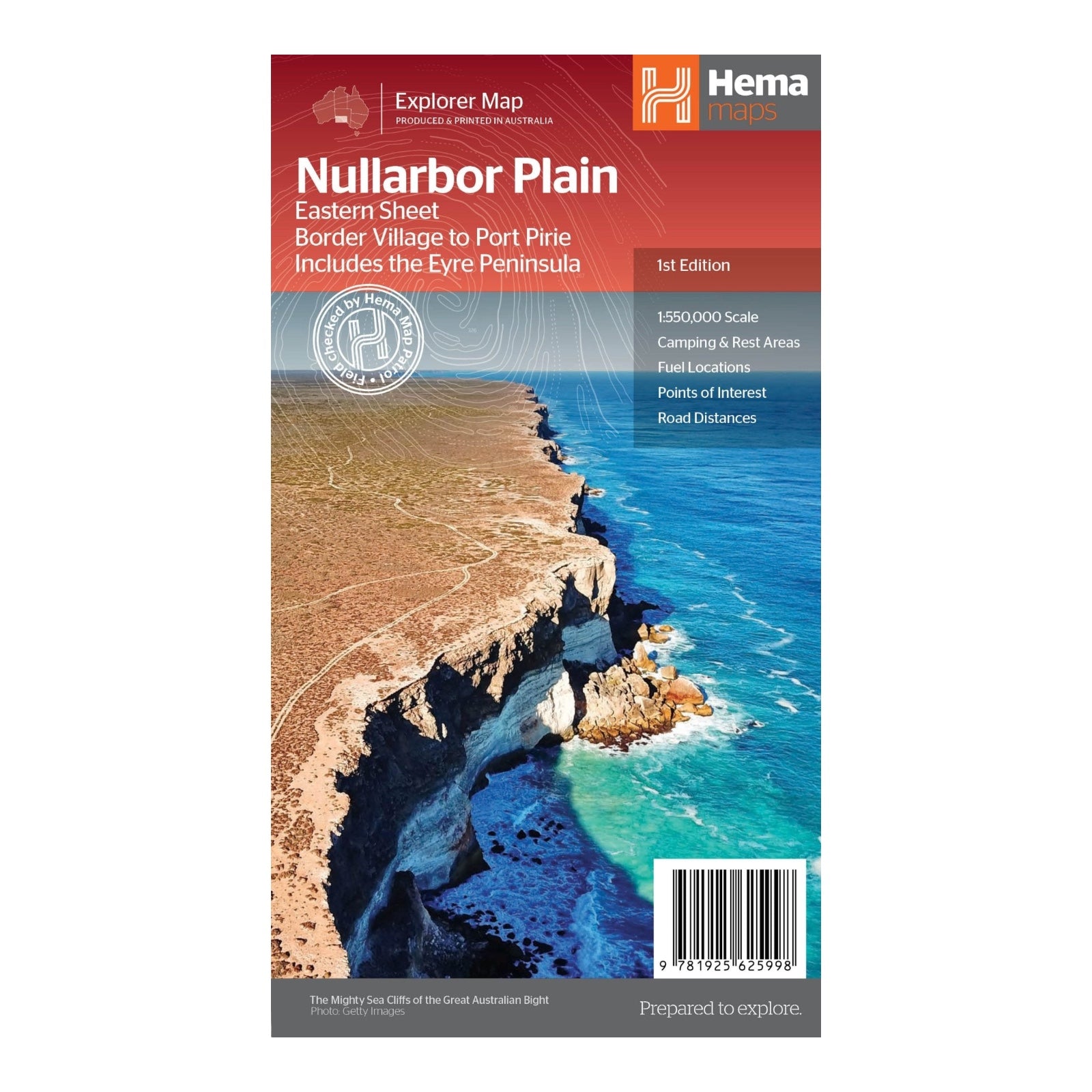
HEMA MAP NULLARBOR PLAIN EASTERN
Part of Hema's new Nullarbor Plain Map Series, this map covers the stretch from Border Village to Port Pirie, including the Eyre Peninsula. This extensive route, part of one of the world's great adventure drives, traverses Australia's semi-arid Nullarbor Plain along the Eyre Highway, linking Adelaide and Perth.
Given the vastness of this journey, the map is divided into two sections: the Eastern sheet from Port Pirie to Border Village and the Western sheet extending from Border Village to Kalgoorlie. This map not only details the key sites and facilities along the Eyre Highway but also encourages exploration beyond the highway, highlighting attractions such as the Nullarbor caves, iconic beaches along the Great Australian Bight, and extensive 4WD tracks like Googs Track.
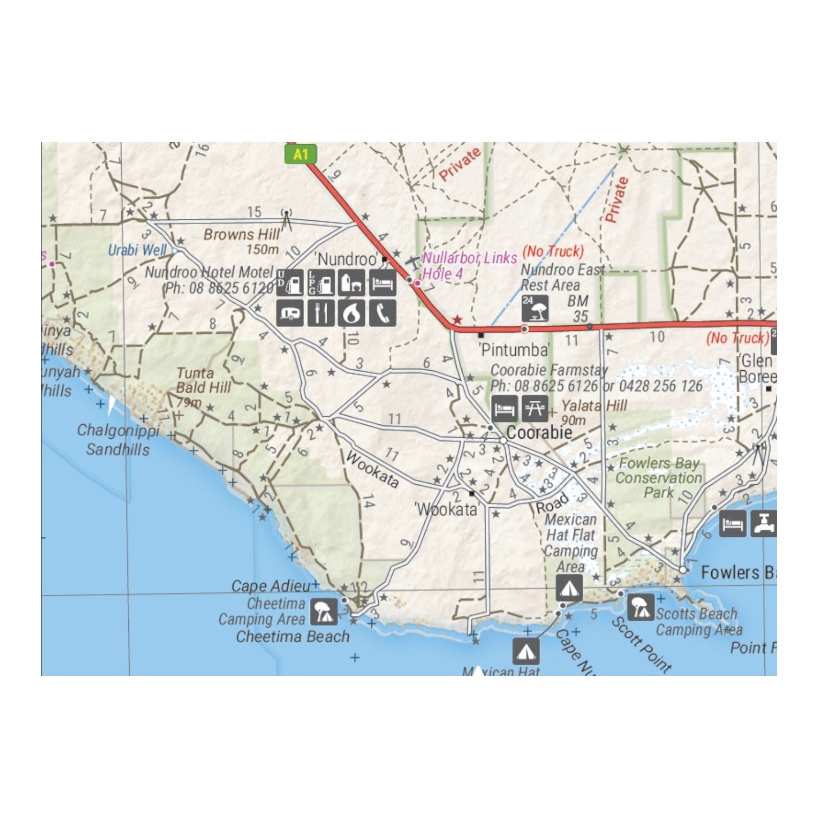
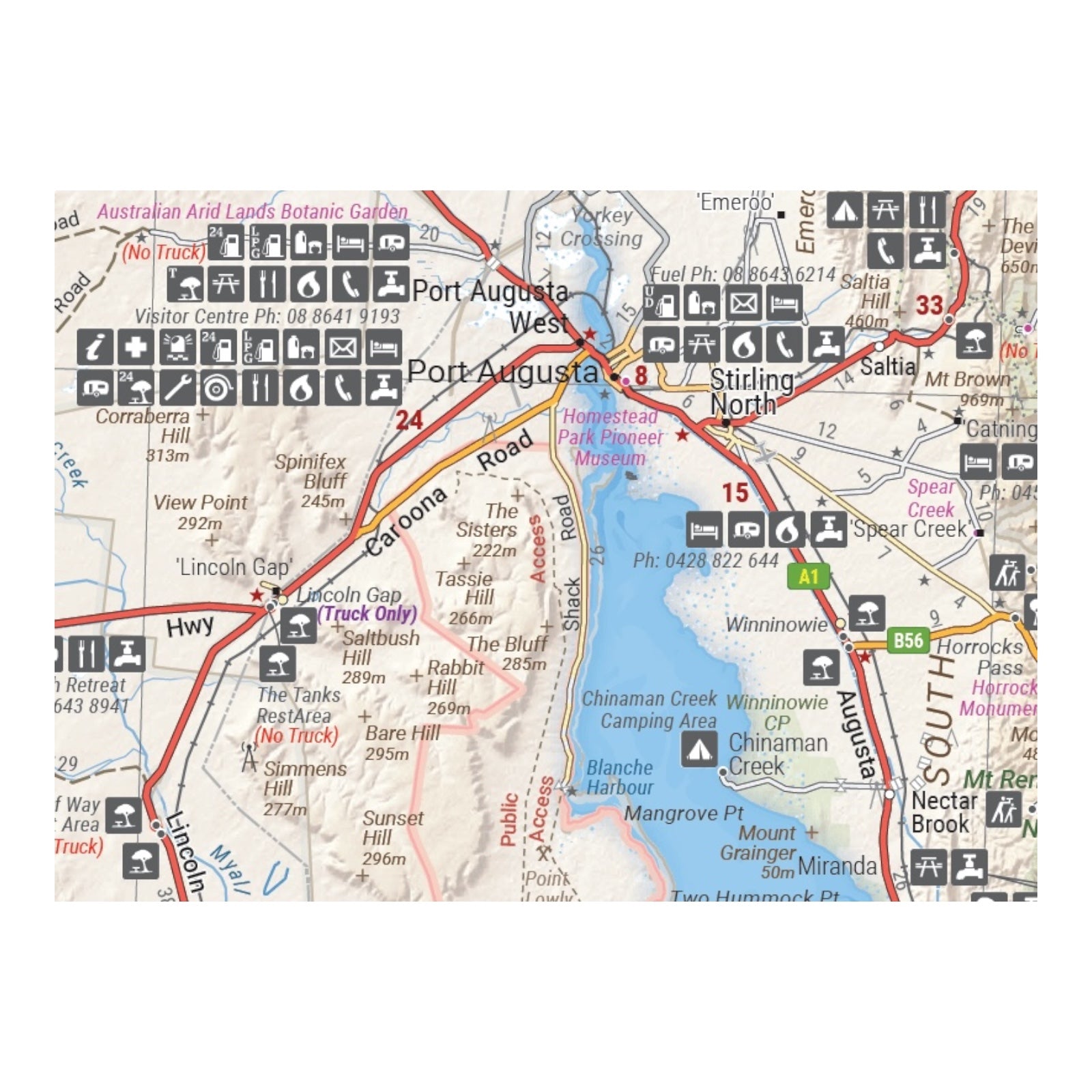
Field-checked by the Hema Map Patrol for exceptional accuracy, this map integrates Hema’s complete database of roads and 4WD tracks with detailed touring points of interest and topographic information. Additional features include camping and rest areas, fuel locations, accommodation options, distances, and historical context of the region, making it an essential guide for travelers embarking on this iconic journey.
FEATURES:
- 4WD tracks (including Googs Track)
- Camping & rest areas
- Fuel Locations
- Road distances
- Accommodation
- Caves and Beaches
- History of the area
SPECIFICATIONS:
- Edition: 1st
- Publication Date: 12/08/21
- Scale: 1:550,000
- Folded size: 140 x 250 x 3mm
- Flat size: 1000 x 700mm
- Weight: 0.09kgs


