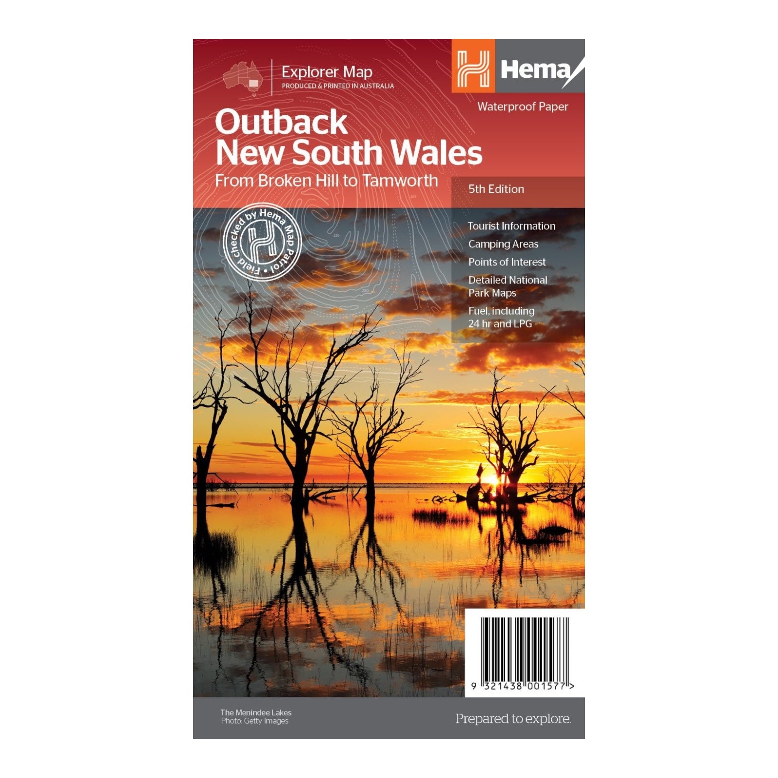
HEMA MAP OUTBACK NEW SOUTH WALES
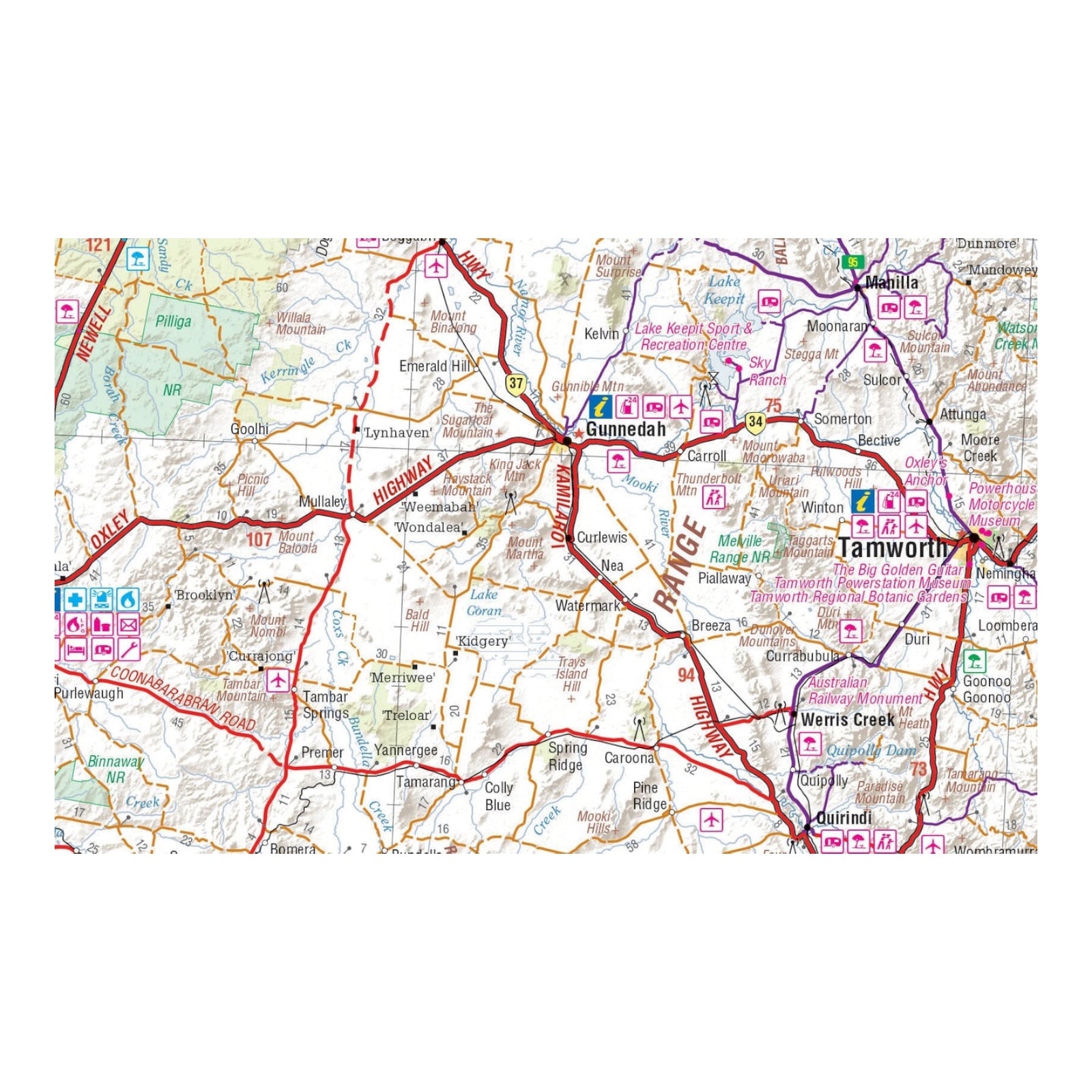
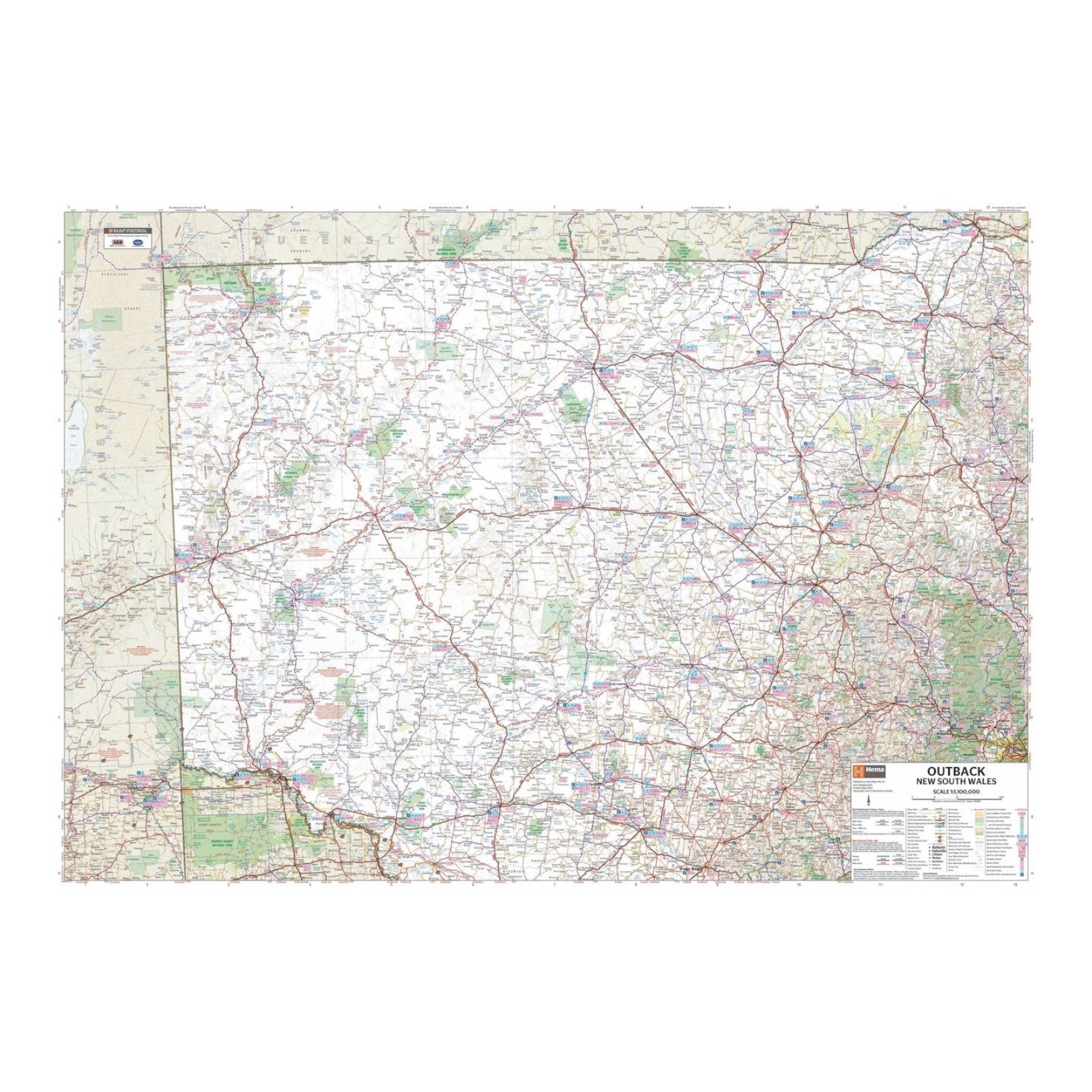
This regional map of outback New South Wales, scaled at 1:1,100,000, covers a vast area from Tamworth in the east to Broken Hill in the west, and from Wagga Wagga in the south to beyond the Queensland border in the north. The map provides a broad overview of this expansive region, highlighting major roads, towns, and geographic features.
On the reverse side, you'll find extensive information on various regions within the outback. This includes visitor and historical details for areas such as the Broken Hill region, Corner Country, east of Tibooburra, the White Cliffs region, Cobar and its surroundings, Back o'Bourke, Lightning Ridge and nearby areas, the Wentworth region, Balranald, the Griffith region, Dubbo and its surroundings, as well as Kinchega National Park, Mungo National Park, Sturt National Park, and Mutawintji National Park.
The reverse side provides valuable background information and insights into these regions, making it a comprehensive resource for planning trips and exploring the rich history and attractions of outback New South Wales.
FEATURES:
- Detailed National Park Maps
- Tourist information
- Camping areas
- Points of interest
SPECIFICATIONS:
- Edition: 5th
- Publication Date: 1/12/2012
- Scale: 1:100,000
- Folded size: 140 x 250 x 3mm
- Flat size: 700 x 1000mm
- Weight: 0.09kgs


