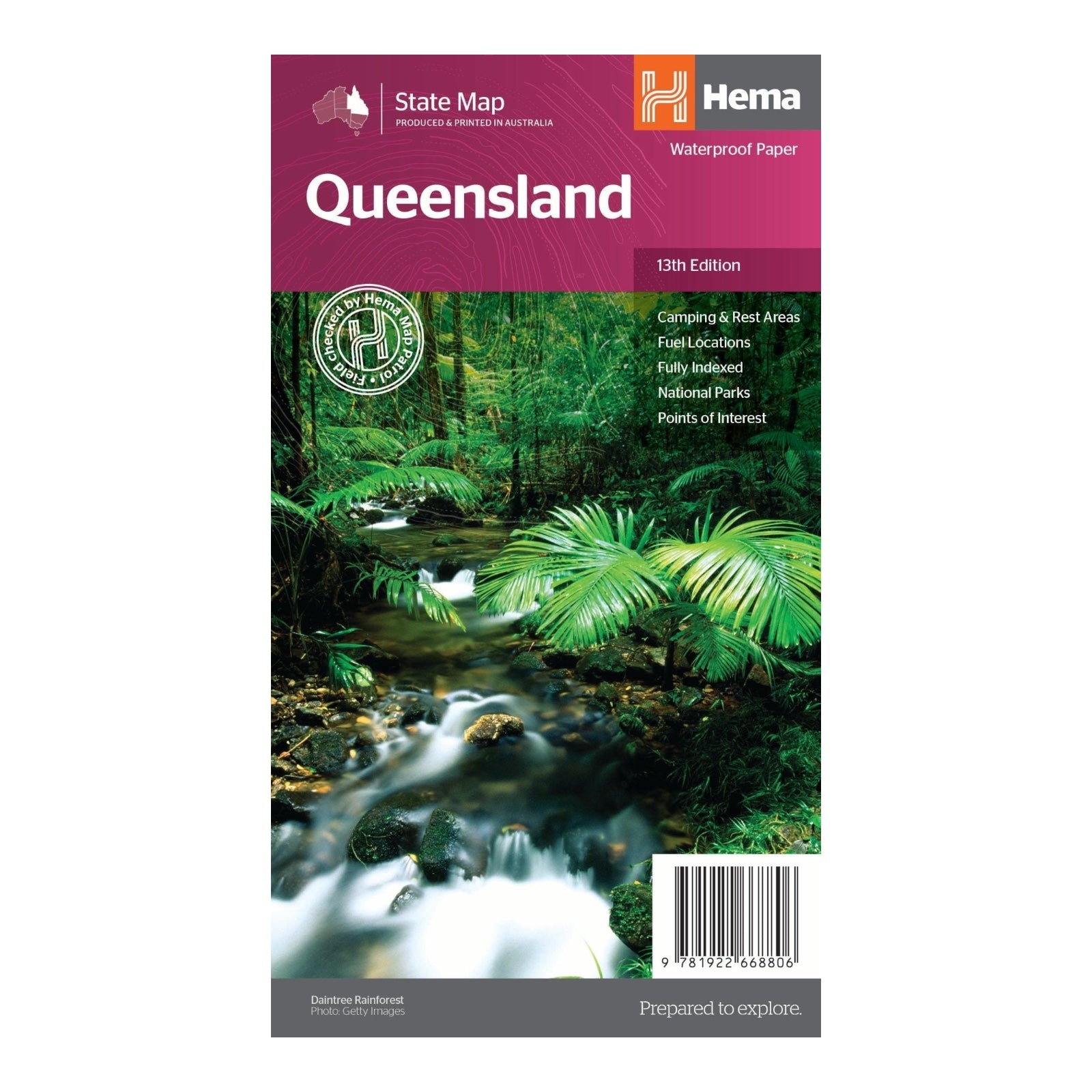
HEMA MAP QUEENSLAND
The thirteenth edition of Hema’s Queensland State Map offers an up-to-date and highly accurate representation of Queensland, thanks to thorough field checks conducted by Hema’s Map Patrol. This fully indexed map provides comprehensive coverage of the state at a scale of 1:2,500,000.
The map highlights essential features including national parks, fuel locations, and camping and rest areas, making it an invaluable tool for both planning and navigating your travels across Queensland. With its detailed and reliable data, this edition ensures you have the latest information for a smooth and enjoyable journey through the state.
FEATURES:
- Fully updated and indexed primary Map of Queensland at a scale of 2:500,000 and showing national parks, fuel locations as well as campsites and caravan parks
- Complete list of Queensland Visitor Information Centres
- Table showing Queensland’s National Parks and Reserves with key features and facilities
- Summary of the key things to see in Queensland broken up by region.
SPECIFICATIONS:
- Edition: 13th
- Publication Date: 01/04/2023
- Scale: 1:2,500,000
- Folded size: 140 x 250 x 3mm
- Flat size: 700mm x 1000mm
- Weight: 0.09kgs


