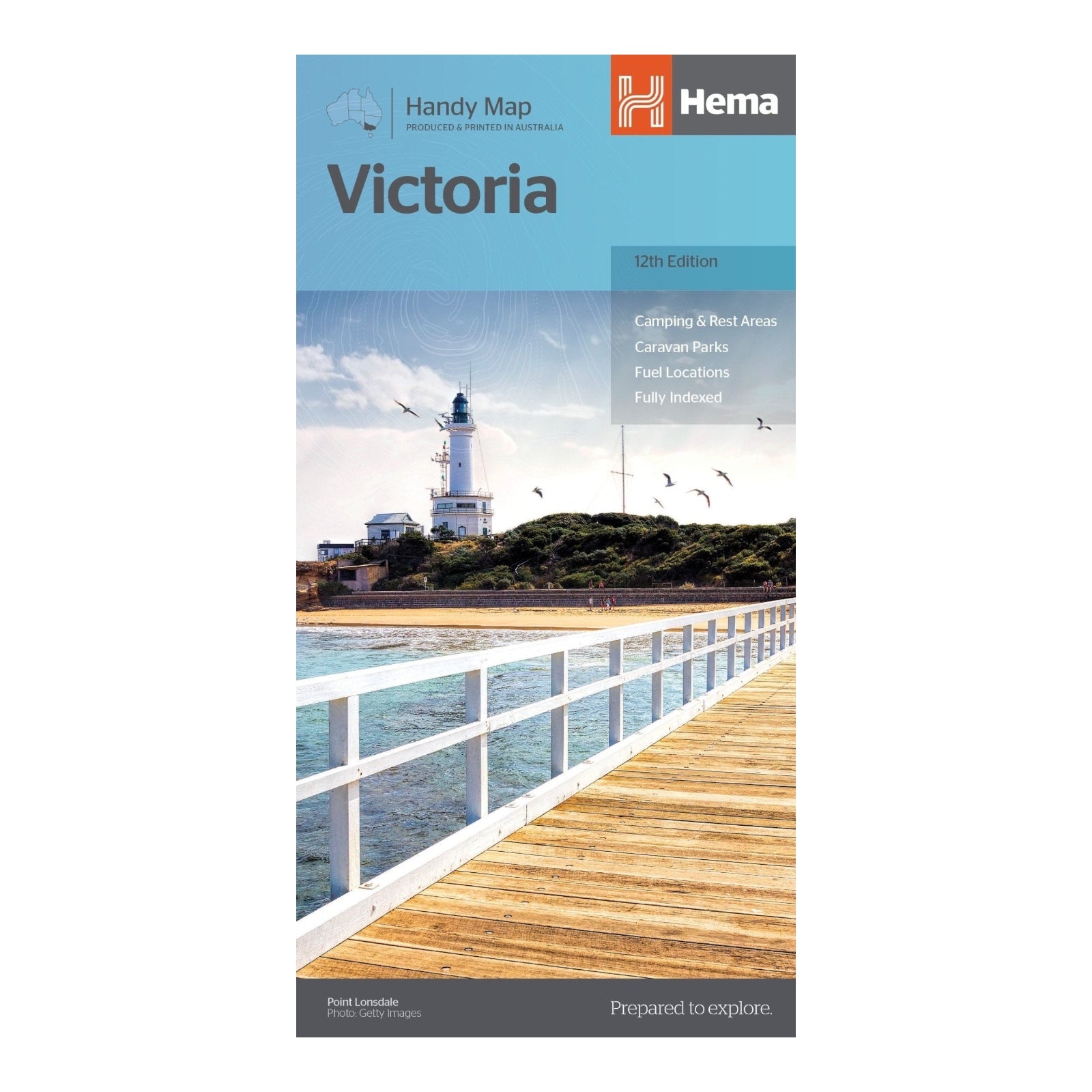
HEMA MAP VICTORIA HANDY
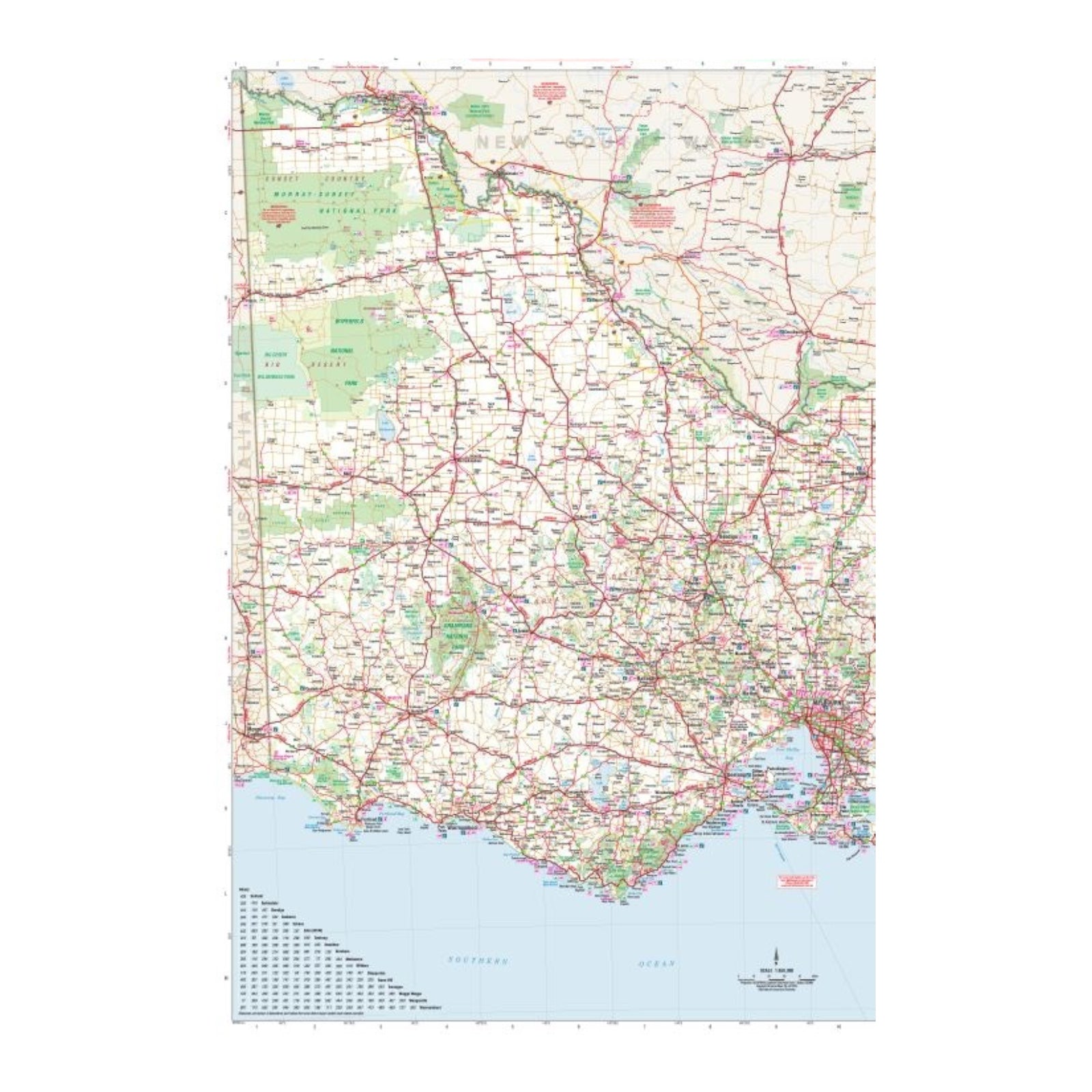
Victoria is a road trip paradise, offering diverse landscapes from the rolling High Country in the east to the expansive Wimmera region in the west, the rugged Shipwreck Coast in the south, and the meandering Murray River in the north. Hema's Handy Map, now in its 12th edition, is meticulously updated to reflect the latest road information and enhanced detail.
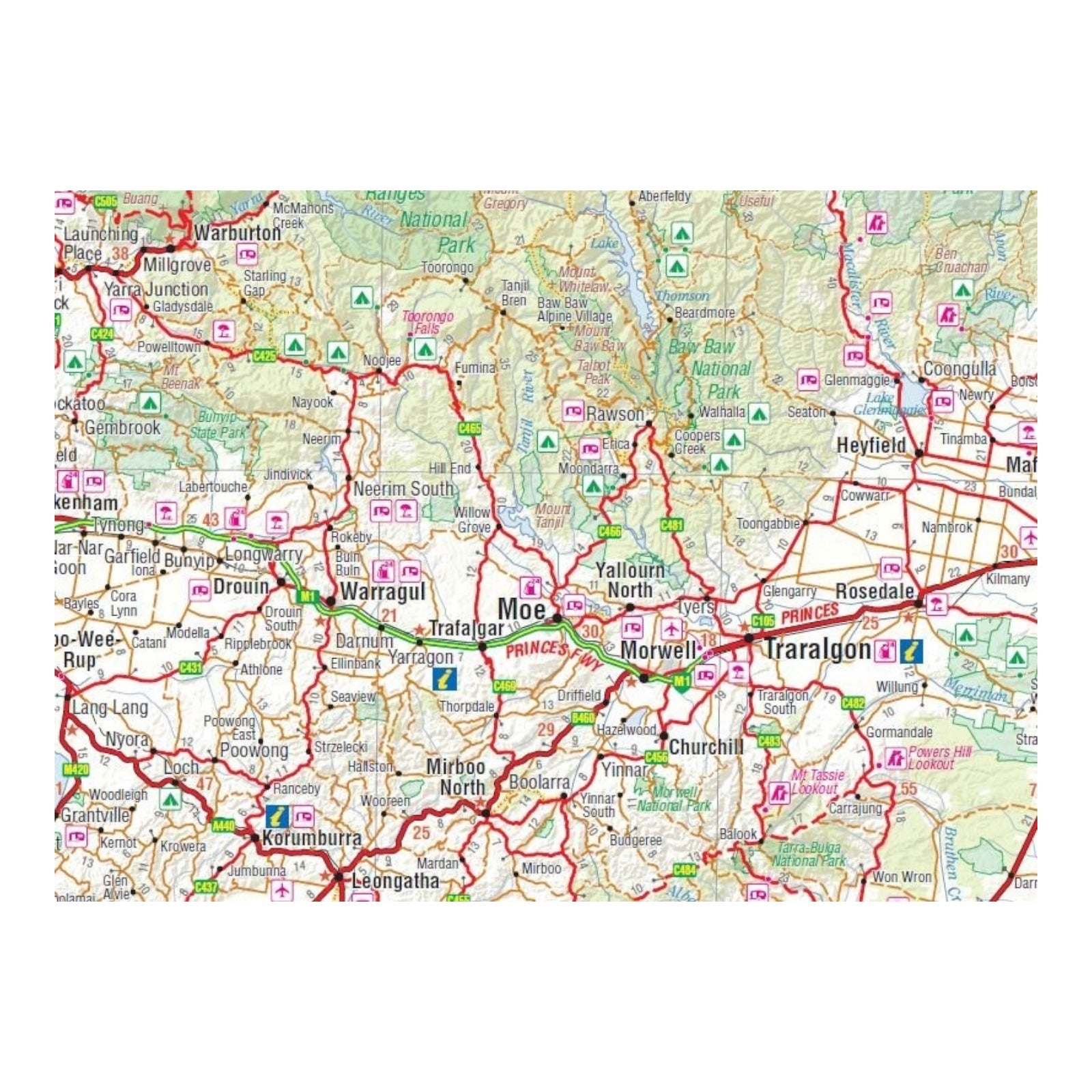
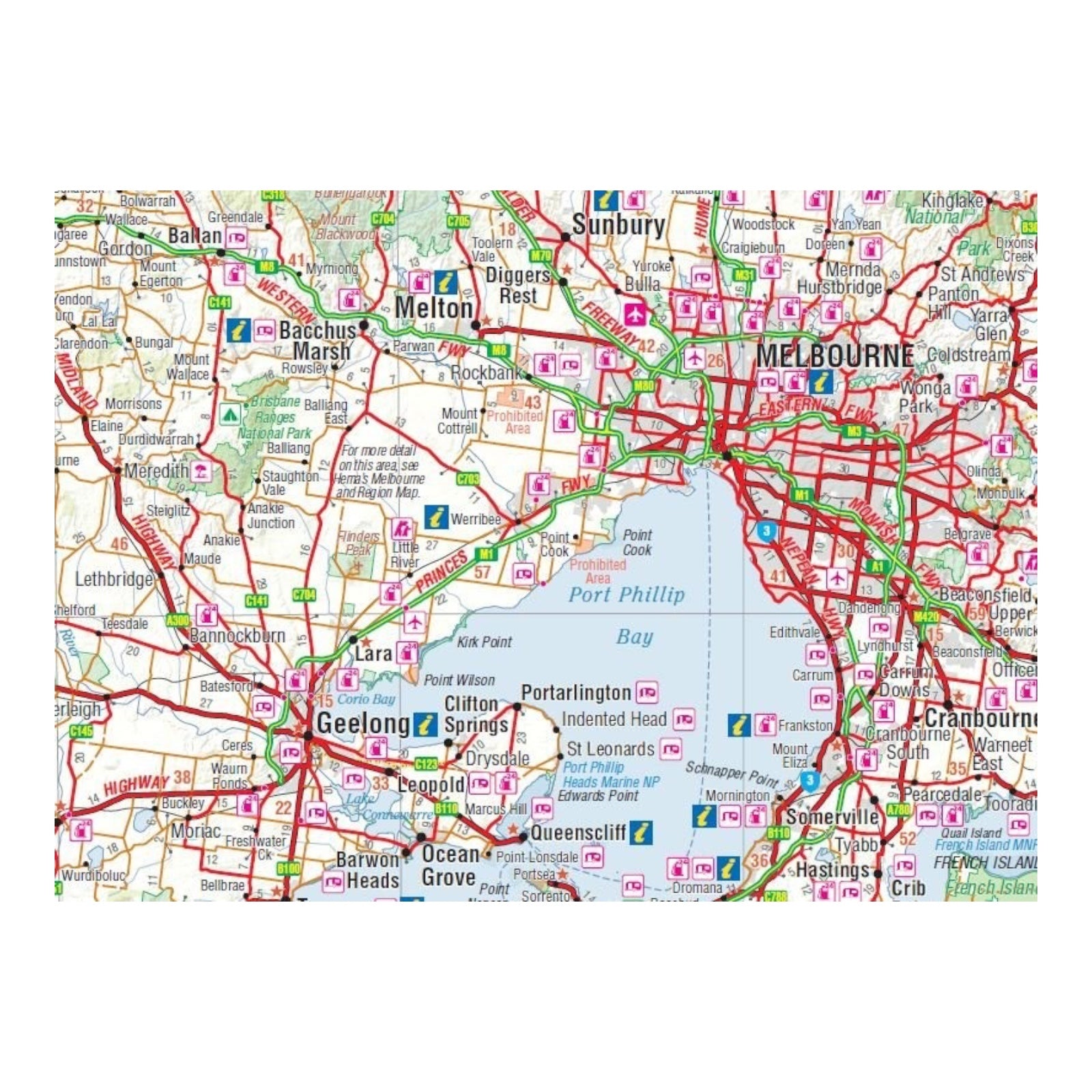
This map features a distance grid and an index for easy planning and reference. It highlights major and minor roads, highways, points of interest, information centres, picnic areas, caravan parks, and lookouts. Whether you're a holiday-maker packing for a trip or someone who wants a reliable resource in the glove box, the Victoria Handy Map is an essential tool for navigating and exploring the beauty of Victoria.
FEATURES:
- Camping & Rest Areas
- Caravan Parks
- Fuel Locations
- Fully indexed
SPECIFICATIONS:
- Edition: 12th
- Publication Date: 24/09/14
- Scale: 1:850,000
- Folded size: 125mm x 250mm x 3mm
- Flat size: 500mm x 875mm
- Weight: 0.05kg


