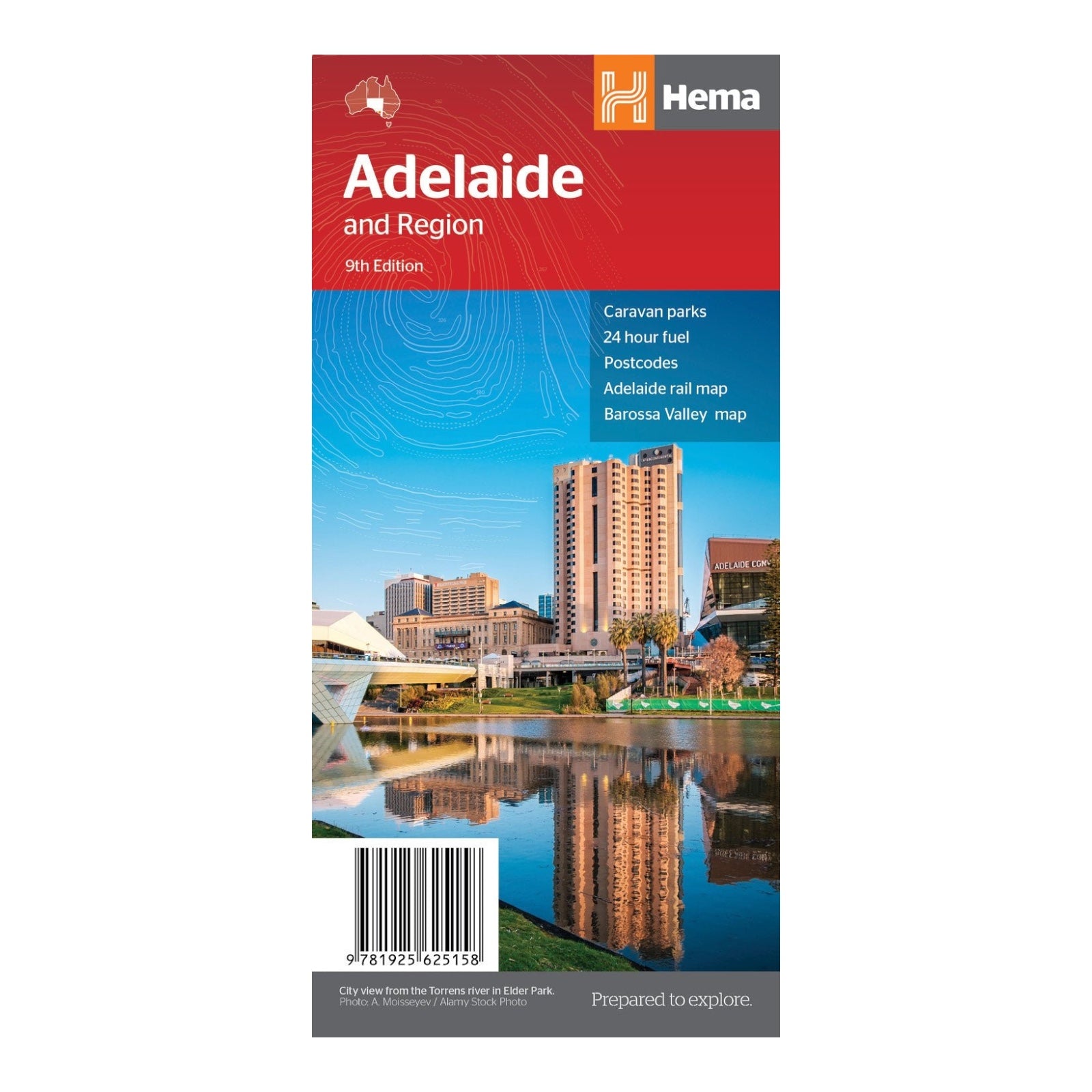
HEMA MAP ADELAIDE CITY
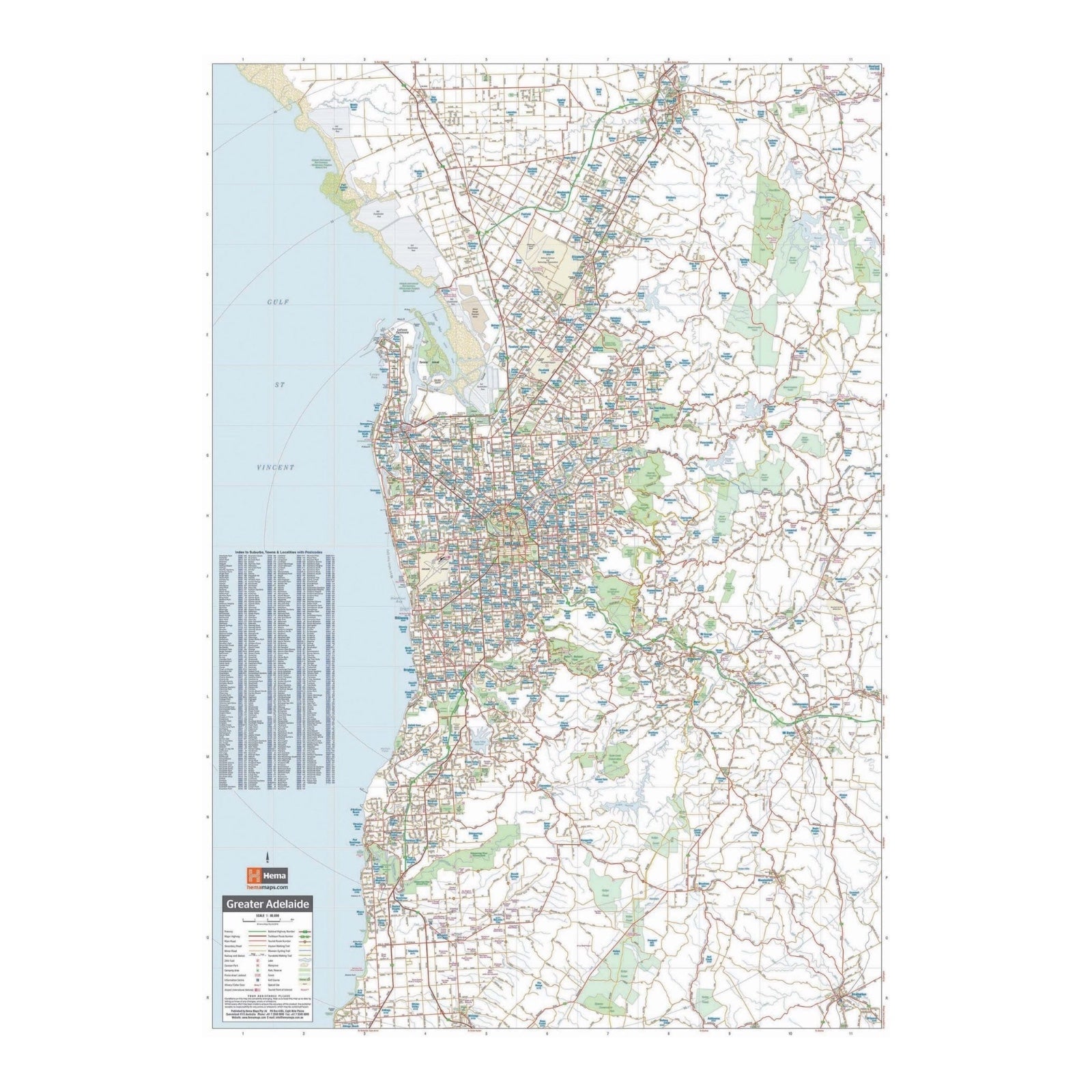
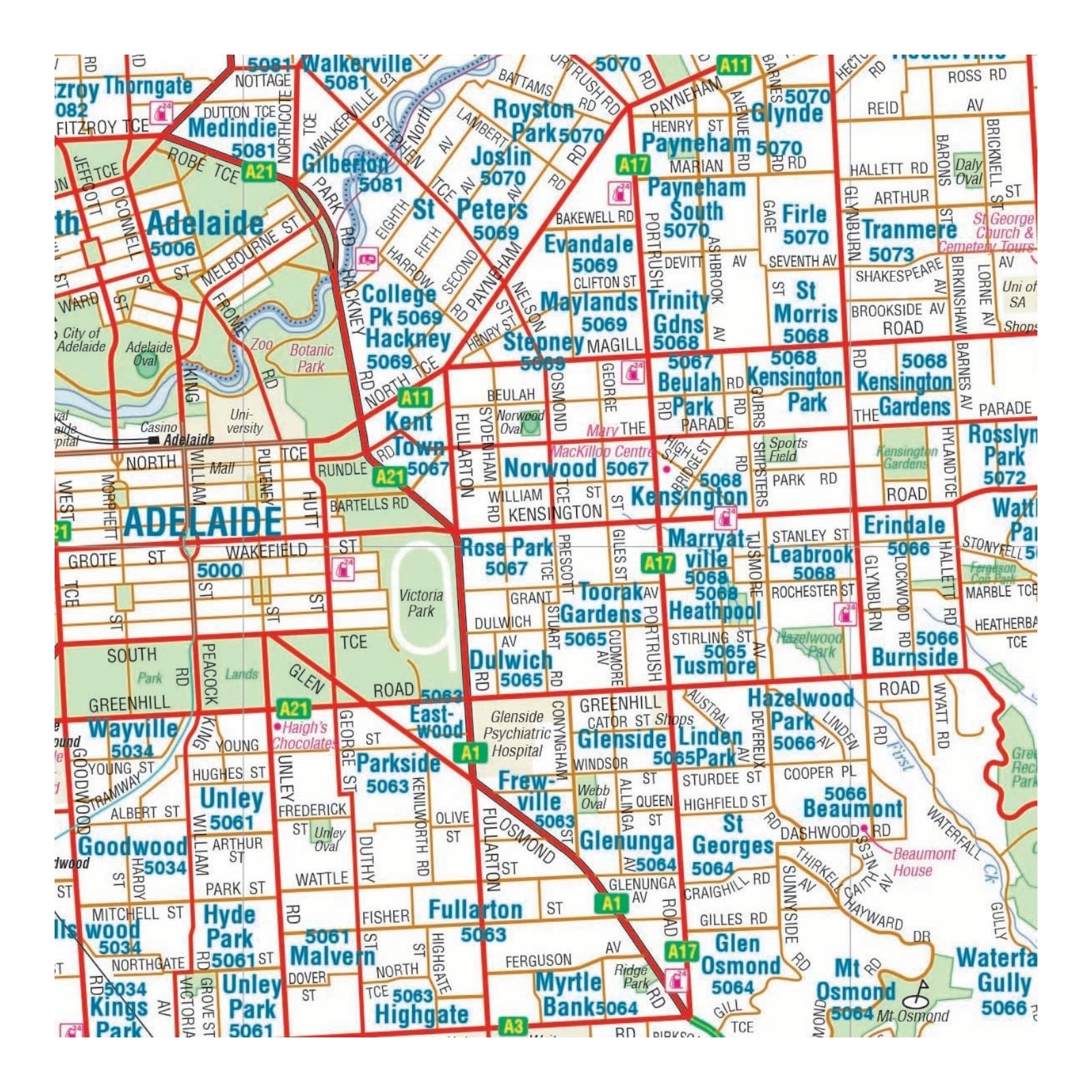
Hema's Adelaide and Region Map is a comprehensive guide designed for both navigating the city and exploring its surroundings. The primary map covers greater Adelaide at a detailed 1:80,000 scale, showcasing major highways, regional and local roads, and essential amenities including 24-hour fuel stops, caravan parks, and various Points of Interest.
On the reverse side, the map provides a detailed layout of the Adelaide city centre, highlighting key locations such as accommodation, restaurants, and theatres. Additionally, it features a map of the Barossa Valley, renowned for its wine regions, as well as a rail network map for convenient travel planning.
This map is ideal for planning a weekend escape to Adelaide and efficiently navigating the city and its acclaimed wine regions.
FEATURES:
- Primary Map of Greater Adelaide at a scale of 1:80,000 which features Adelaide and surrounding regions (including the Barossa Valley, Adelaide Hills & McClaren Vale) as well as major highways, 24-hour fuel stops and other points of interest
- A detailed map of Adelaide City
- Map of the Barossa Valley
- Adelaide rail network map
SPECIFICATIONS:
- Edition: 9th
- Publication Date: 01/09/18
- Scale: 1:80,000
- Folded size: 120 x 250 x 3mm
- Flat size: 700 x 1000mm
- Weight: 0.07kgs


