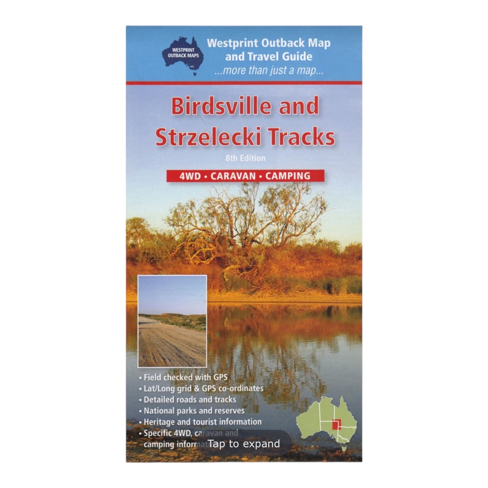
HEMA MAP BIRDSVILLE TRACK
The Birdsville & Strzelecki Tracks Map from Westprint Maps is an essential guide for exploring the rugged landscapes of outback Australia. Covering the area from Betoota in the north through Birdsville and south to Marree, this map also includes routes from Birdsville to Innamincka and Cameron Corner to Tibooburra in New South Wales.
Designed for outback adventures, the map provides detailed information on roads and tracks, GPS coordinates, distances, fuel stops, and camping areas. It's ideal for 4WD travelers and those on foot.
The map features symbols that correspond to detailed explanations on the reverse side, offering insights into points of interest, local flora and fauna, and the historical significance of the tracks. Additionally, the reverse includes safety tips, trip planning advice, and contact details for local and emergency services, enhancing both the enjoyment and safety of your journey. The map also includes GPS readings for the Birdsville Track, a route known for its challenges but now more accessible with the right vehicle.
FEATURES:
- National parks
- Specific 4WD, caravan and camping information
- GPS surveyed roads & tracks
- Heritage & tourist information
SPECIFICATIONS:
- Edition: 8th
- Publication Date: 01/01/18
- Folded size: 140 x 250 x 2mm
- Flat size: 700 x 1000mm
- Weight: 0.09kgs


