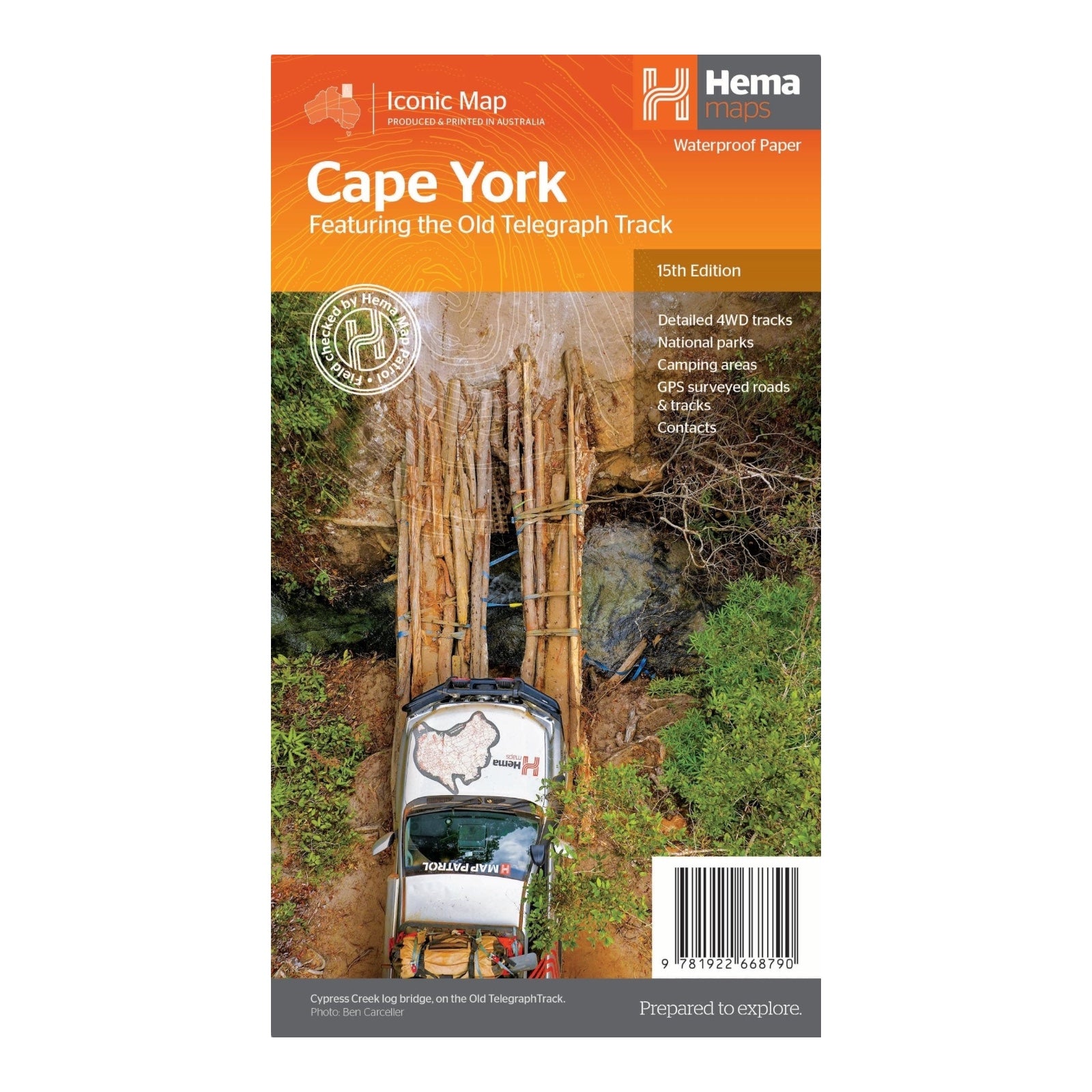
HEMA MAP CAPE YORK
The Cape York Map (15th Edition) by Hema Maps is the ultimate guide for those venturing into the rugged and remote terrains of Cape York. Perfect for tourers and adventurers, this map offers meticulously detailed charting of 4WD tracks and GPS-surveyed roads, ensuring you navigate with confidence through the area's challenging landscapes.
Printed on durable, waterproof paper, the map is designed to endure the rigors of off-grid adventures. It includes comprehensive information on National Parks, campsites, and local contacts, making it a reliable companion for your journey. The latest edition features new inset maps for the Cairns Regional Electricity Board (CREB) and Rinyirru (Lakefield) National Park, providing enhanced detail and accuracy for these specific regions.
Whether you're exploring the northernmost tip of Australia's outback or seeking hidden gems within Cape York's vast wilderness, this map is your essential tool for discovering every nook and cranny of this adventurous destination.
FEATURES:
- Detailed 4WD tracks
- New inset maps for the CREB Track and Riniyirru (Lakefield) National Park
- National Park guides
- Campsites
- Local contact information
- GPS surveyed roads and tracks
- Waterproof paper
SPECIFICATIONS:
- Edition: 15th
- Publication Date: 01/09/23
- Scale: 1:1,000,000
- Folded size: 140 x 250 x 3mm
- Flat size: 700 x 1000mm
- Weight: 0.09kgs


