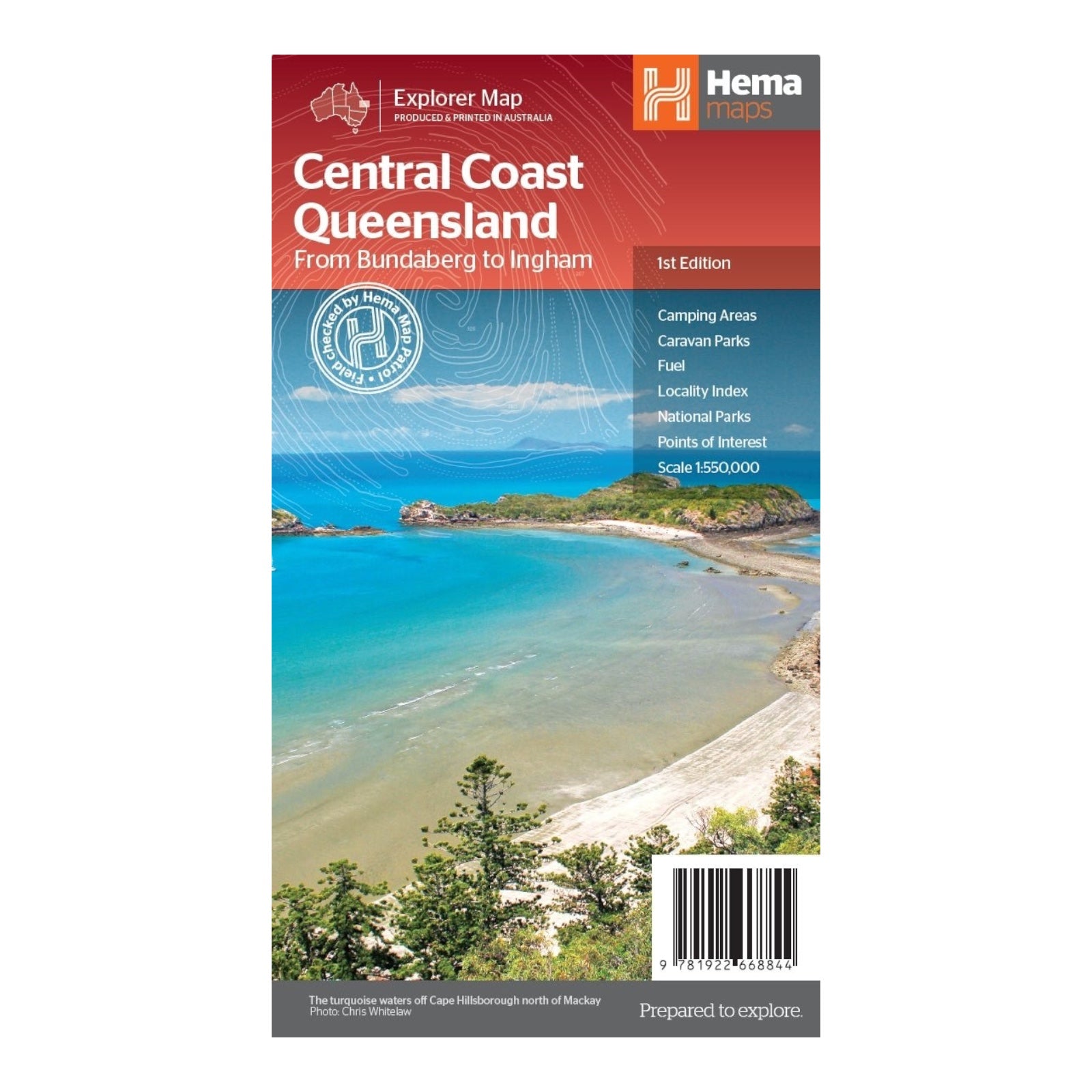
HEMA MAP CENTRAL COAST QLD
This two-sided regional map offers a comprehensive view of Queensland’s Central Coast, meticulously detailed at a scale of 1:550,000.
The front side of the map covers the region from Mackay in the south to Ingham in the north, showcasing key coastal towns such as Bowen, Ayr, Townsville, and Ingham. It also extends westward beyond Charters Towers, providing an extensive overview of this vibrant area.
On the reverse side, the map spans from Bundaberg in the south to Camila in the north, including prominent locations like Gladstone, Yeppoon, and Marlborough along the coast, with coverage extending to Emerald in the west.
This detailed mapping makes it an invaluable resource for navigating the diverse landscapes and towns of Queensland's Central Coast, whether you're planning a trip, exploring the region, or seeking key destinations.
FEATURES:
- Camping Areas
- Caravan Parks
- Fuel
- Locality Index
- National Parks
- Points of interest
SPECIFICATIONS:
- Edition: 1st
- Publication Date: 01/15/24
- Scale: 1:550,000
- Folded size: 140 x 250 x 3mm
- Flat size: 700 x 1000mm
- Weight: 0.09kgs


