HEMA MAP FLINDERS RANGES
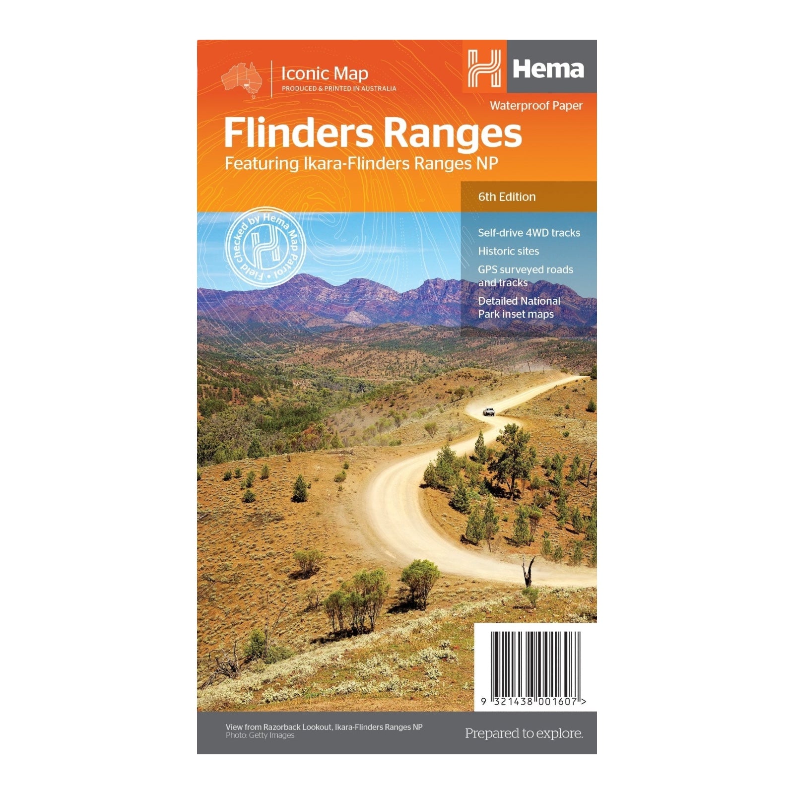
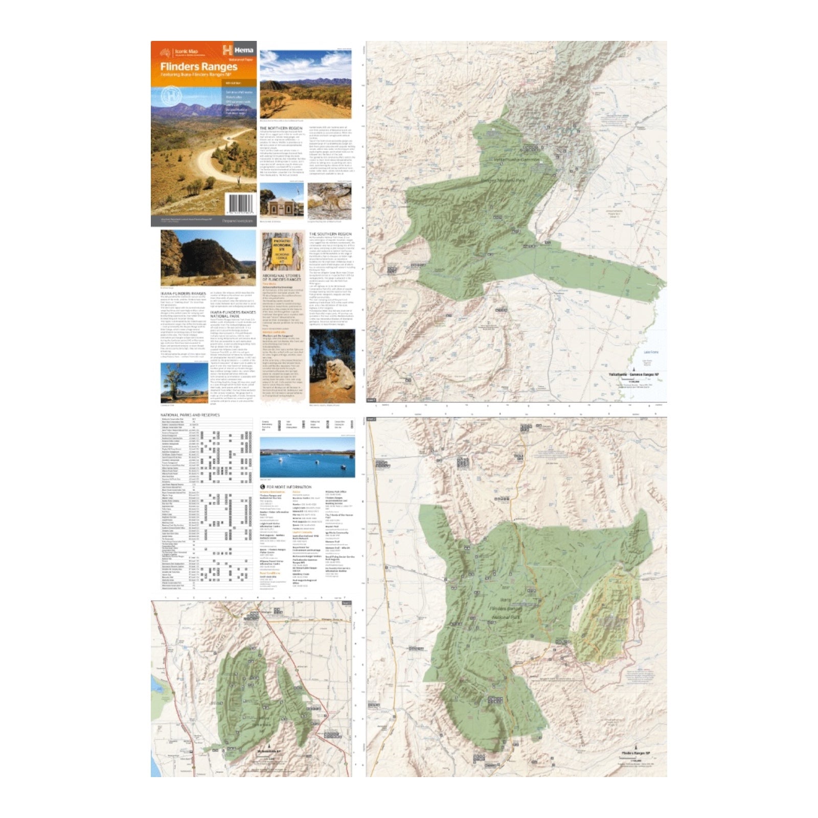
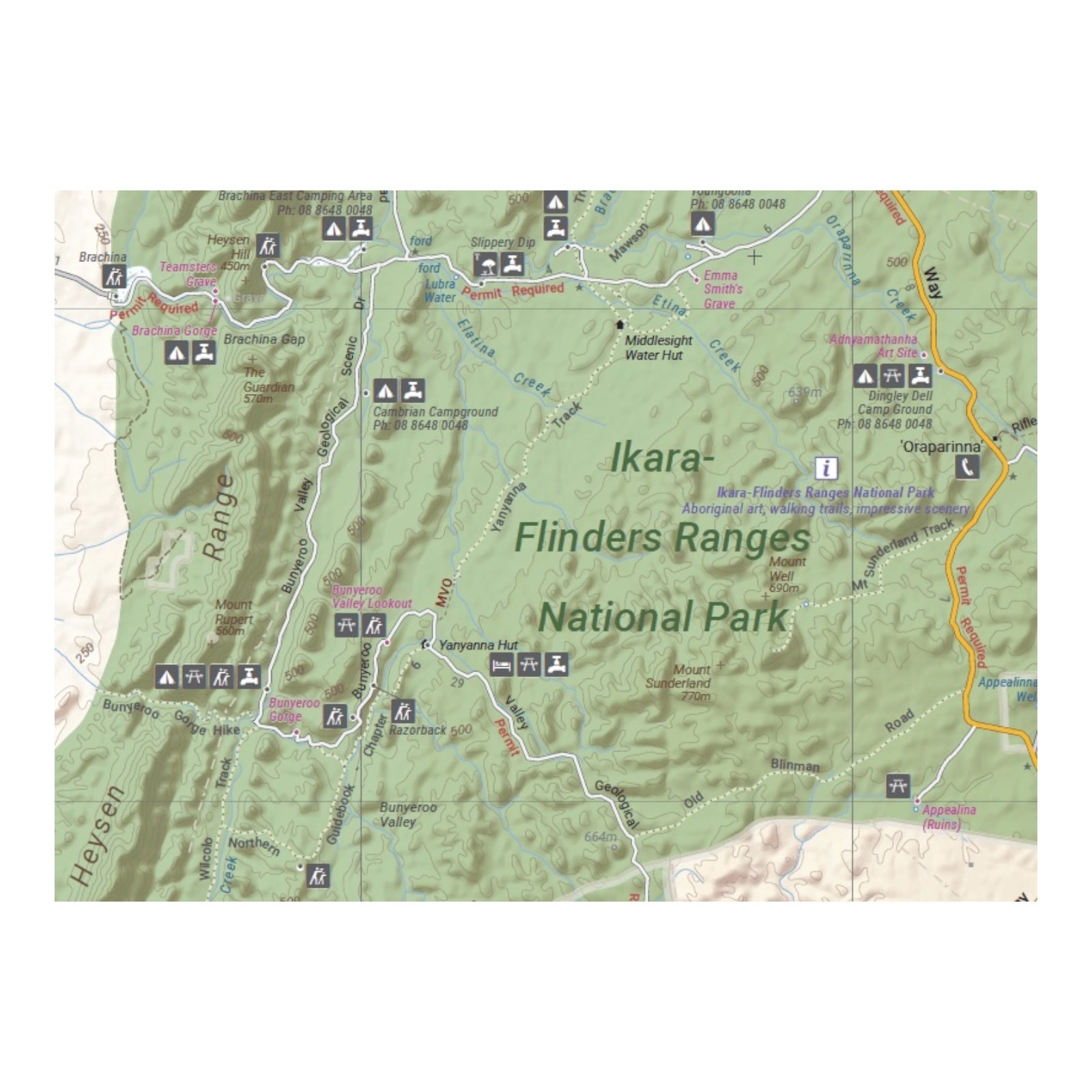
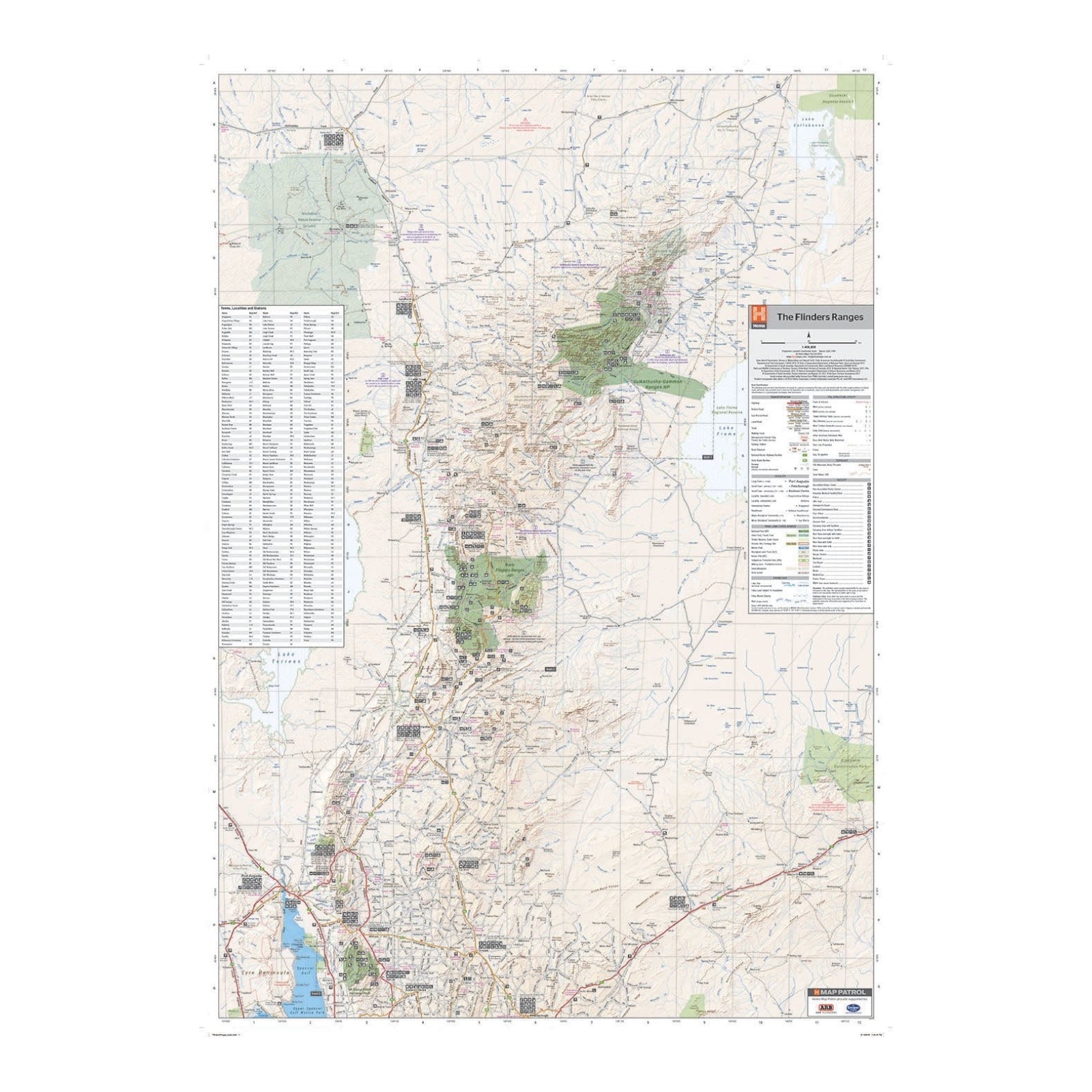
This waterproof map of South Australia's Flinders Ranges offers a comprehensive guide to exploring the region. It includes detailed national park maps for both the Flinders Ranges and Vulkathunha-Gammon Ranges, facilitating easy navigation and trip planning. The map also provides valuable visitor information, including insights into the history and traditions of the Adnyamathanha people, enhancing your understanding of the area.
Accompanying the map is tourist information covering self-drive 4WD treks, historic sites, and essential contact details for national parks and reserves, making it a practical resource for discovering and enjoying the spectacular landscapes and cultural heritage of the Flinders Ranges.
FEATURES:
- GPS surveyed roads and tracks
- Self-drive 4WD tracks
- Camping, bush camping, walking tracks
- Historic sites
- Detailed National Park inset maps
SPECIFICATIONS:
- Edition: 6th
- Publication Date: 1/11/18
- Scale: 1:400,000
- Folded size: 140 x 250 x 3mm
- Flat size: 700 x 1000mm
- Weight: 0.09kgs


