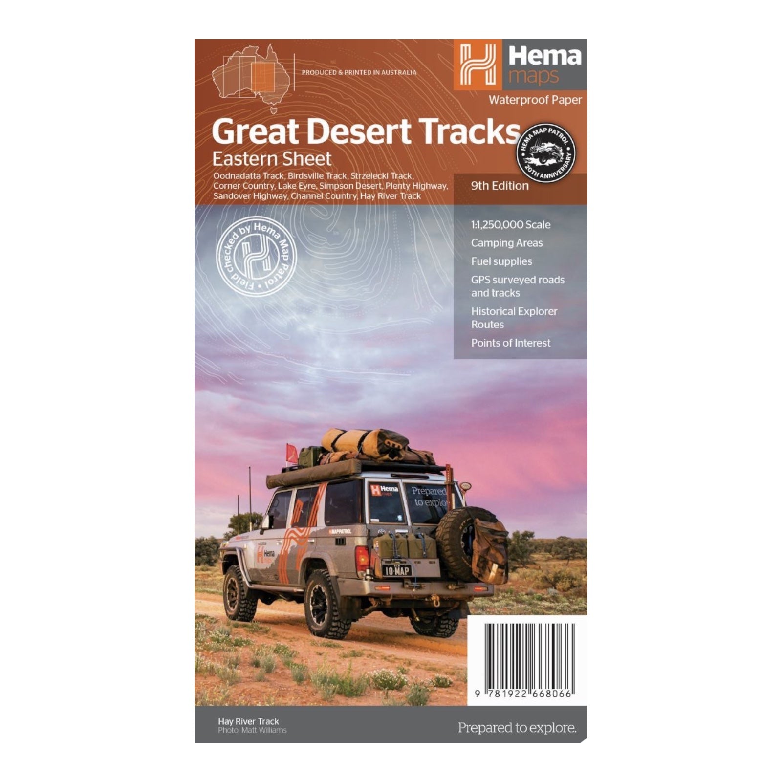
HEMA MAP GREAT DESERT TRACKS EASTERN
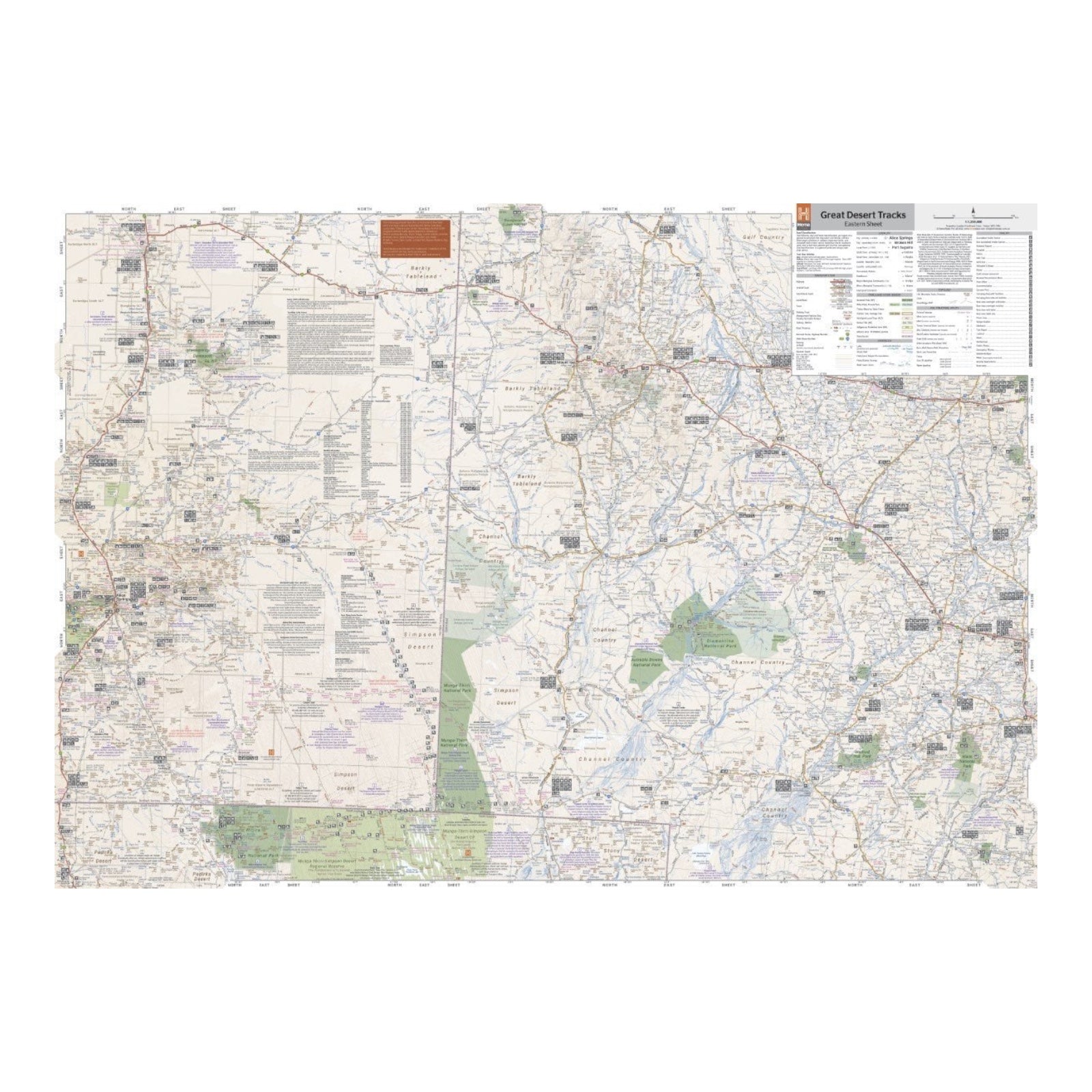
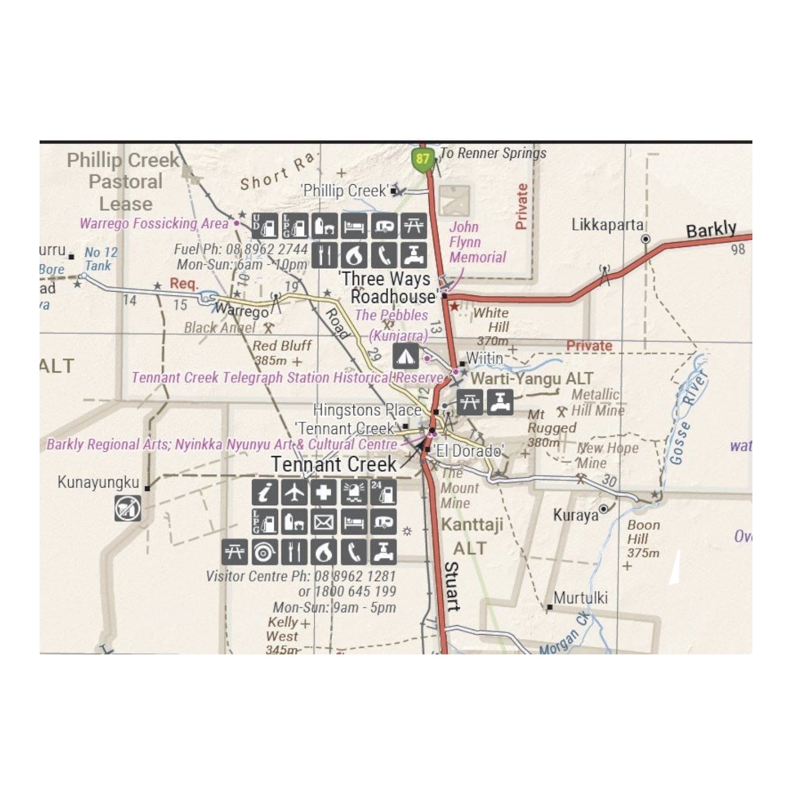
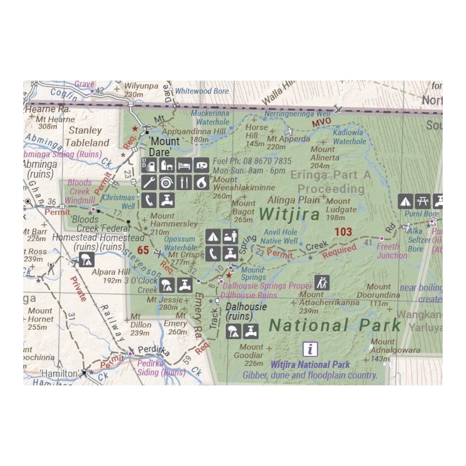
Hema's Great Desert Tracks maps are crucial for navigating the Australian outback. The Eastern Sheet encompasses an extensive region from Tennant Creek to Port Pirie, and from Cunamulla to Alice Springs. It features meticulously field-checked roads and 4WD tracks, distance markers, topographical relief, and essential Points of Interest such as 24-hour fuel stations, camping areas, and caravan parks. The map also offers valuable travel information, including desert travel tips, necessary preparations, and relevant contact details to help plan and undertake your journey efficiently.
FEATURES:
- All maps field checked by the Hema Map Patrol
- Printed on durable, waterproof paper
- Camping areas
- Fuel Supplies
- GPS surveyed roads and tracks
- Historical explorer routes
- Points of Interest
SPECIFICATIONS:
- Edition: 9th
- Publication Date: 15/06/22
- Scale: 1:1,250,000
- Folded size: 140 x 250 x 6mm
- Flat size: 700 x 1000mm
- Weight: 0.055kgs


