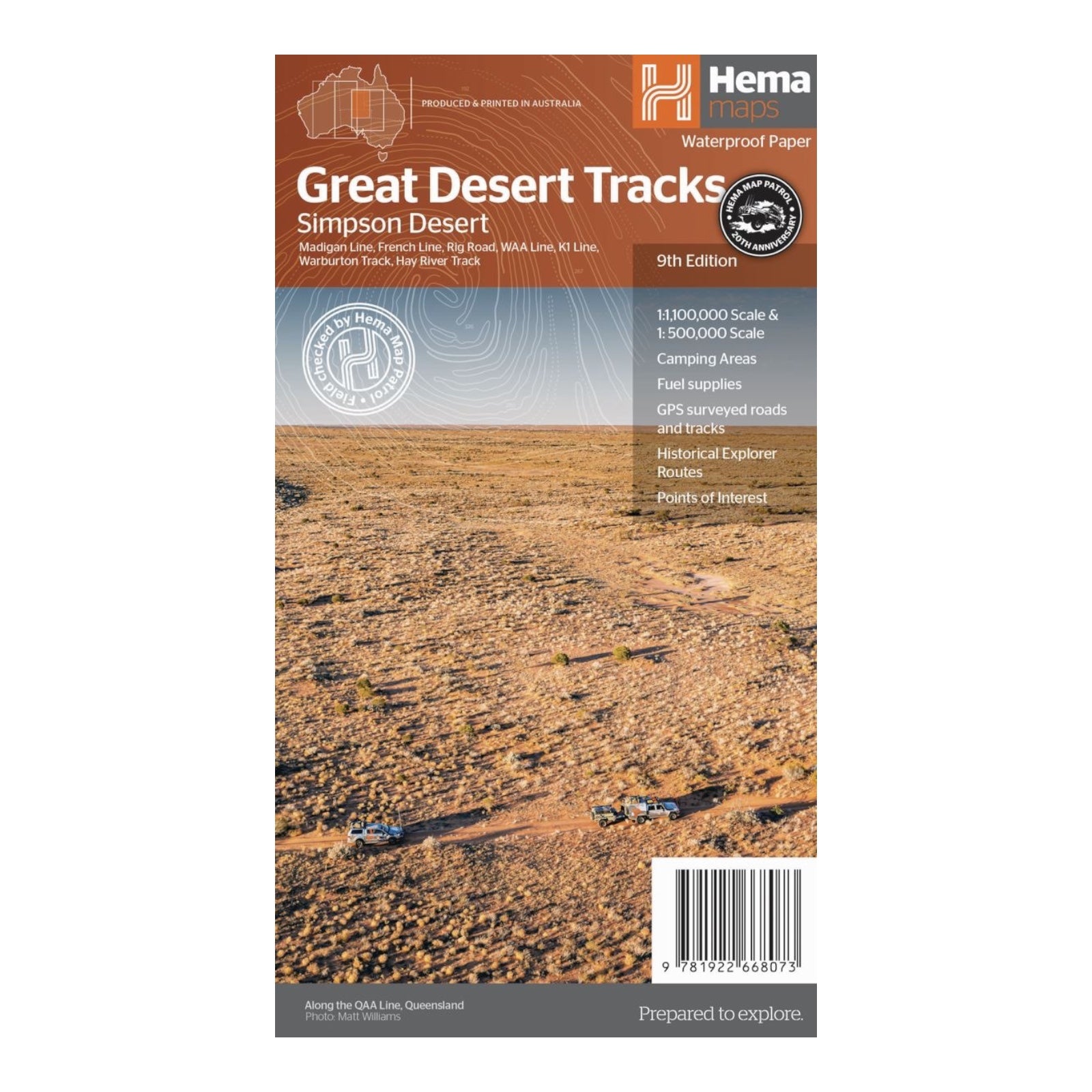
HEMA MAP GREAT DESERT TRACKS SIMPSON
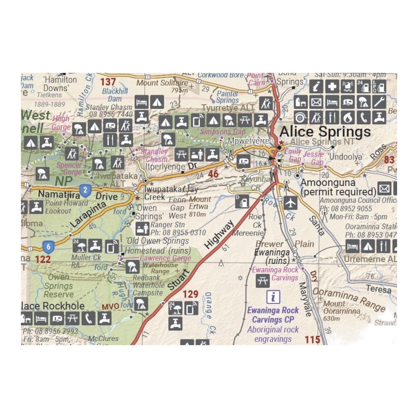
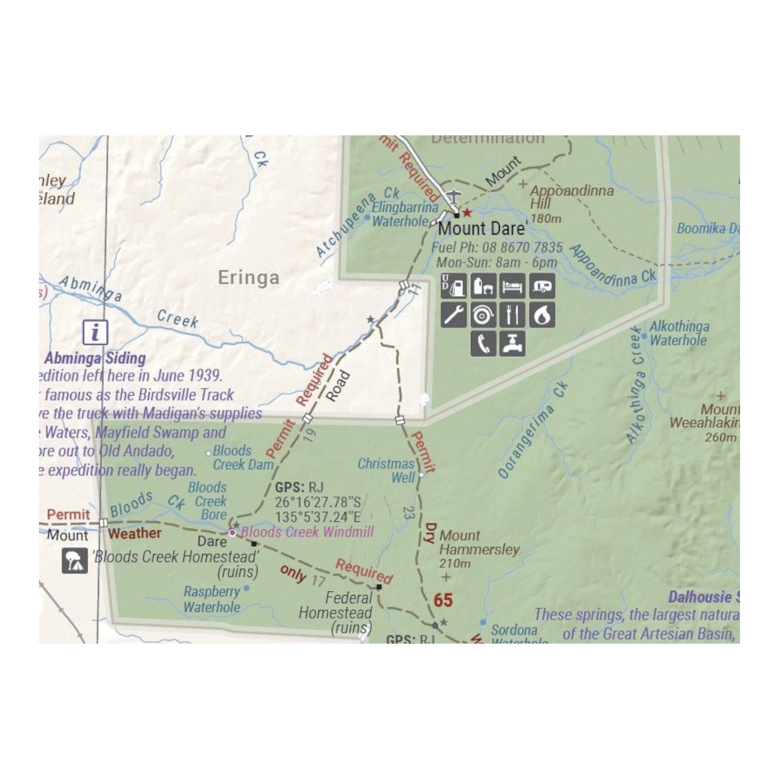
Hema's Great Desert Tracks maps are indispensable for anyone venturing into the Australian outback, particularly those planning a Simpson Desert crossing. These maps feature meticulously field-checked roads and 4WD tracks, Points of Interest for remote travel, and comprehensive touring information to enhance your journey.
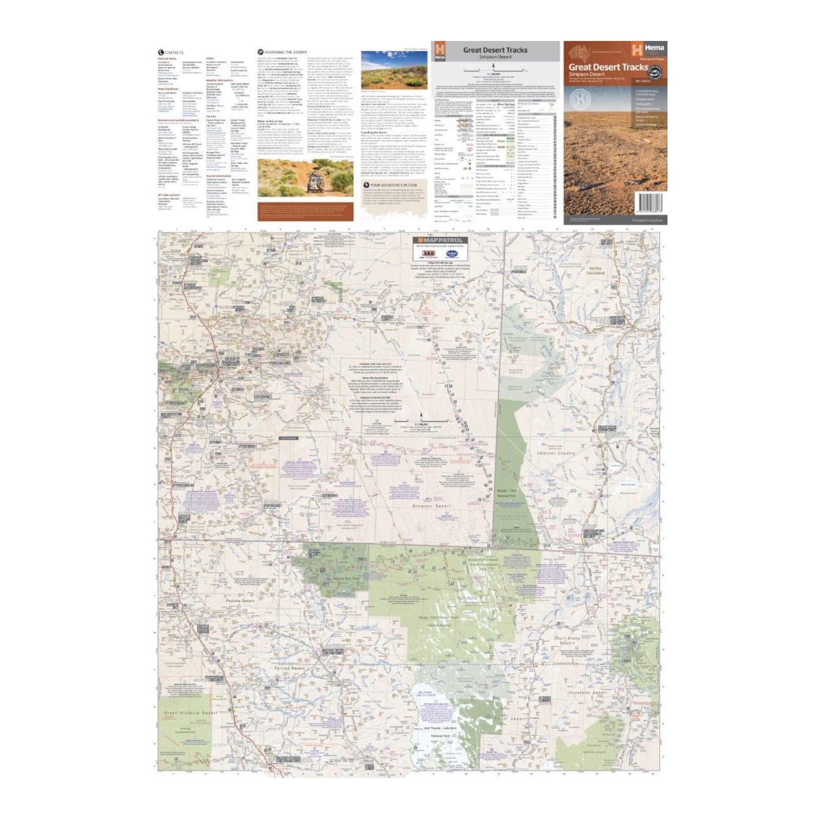
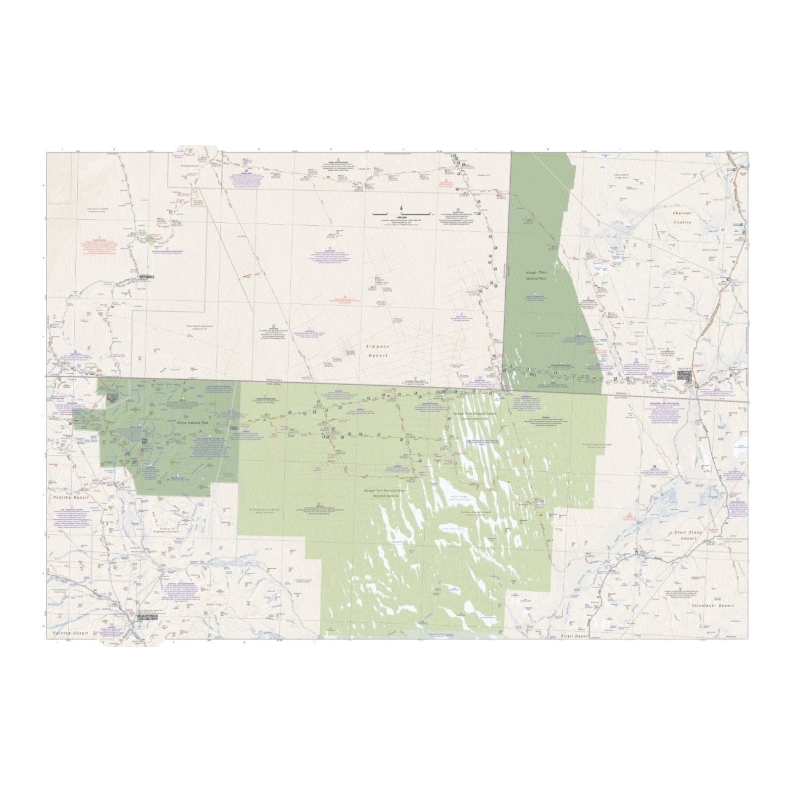
The map provides a detailed view of the Simpson Desert on one side at a scale of 1:500,000, while the other side offers a broader perspective at 1:1,000,000 for strategic planning. It includes essential details such as distance markers, topographical relief, and key points of interest like 24-hour fuel stations, camping areas, caravan parks, facilities, and services. Additionally, the map includes crucial travel information, preparation tips, and relevant contact details to ensure a safe and well-planned adventure through the desert.
FEATURES:
- All maps field checked by the Hema Map Patrol
- Printed on durable, waterproof paper
- Shows free camping areas
- Fuel supplies
- GPS surveyed roads and tracks
- Historical explorer routes
- Points of Interest
SPECIFICATIONS:
- Edition: 9th
- Publication Date: 15/06/22
- Scale: 1:1,000,000 for planning and 1:500,000 for the desert
- Folded size: 140 x 250 x 6mm
- Flat size: 700 x 1000mm
- Weight: 0.055kgs

