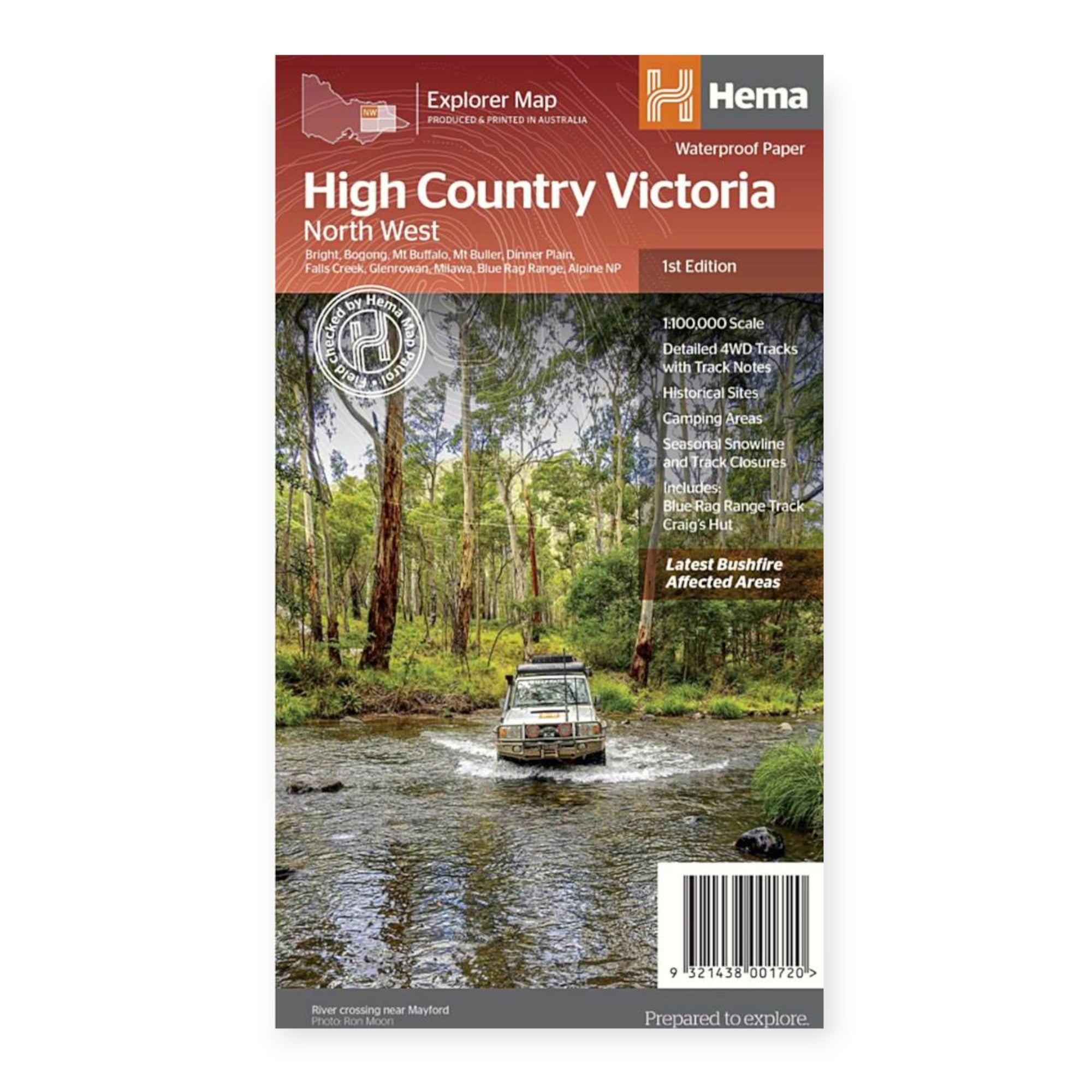
HEMA MAP HIGH COUNTRY VIC NORTH WEST
Part of Hema’s new Victorian High Country Map Series, this map focuses on the North-Western Alps Area, covering regions such as Hotham, Wangaratta, Bright, Bogong, Mount Buffalo, Dinner Plain, and Falls Creek. It offers a comprehensive view of the area’s stunning alpine scenery, featuring hundreds of 4WD tracks.
Printed on durable, waterproof paper, the map showcases Hema’s renowned cartography, including extensive points of interest. It integrates Hema’s complete database of roads and 4WD tracks, all meticulously field-checked by the Hema Map Patrol to ensure superior accuracy.
Additional details on the map include seasonal track closures, camping areas, historic townsites, huts, accommodation options, and distance information. This map is an essential tool for four-wheel driving, hiking, and various outdoor recreational activities, providing everything you need to explore the North-Western Alps Area.
FEATURES:
- Detailed 4WD tracks with notes
- Historical sites & old townsites
- Camping areas & huts
- Road distances
- Seasonal snowline and track closures
- Accommodation
- Tracks include; Blue Rag Range Track & Craigs Hut


