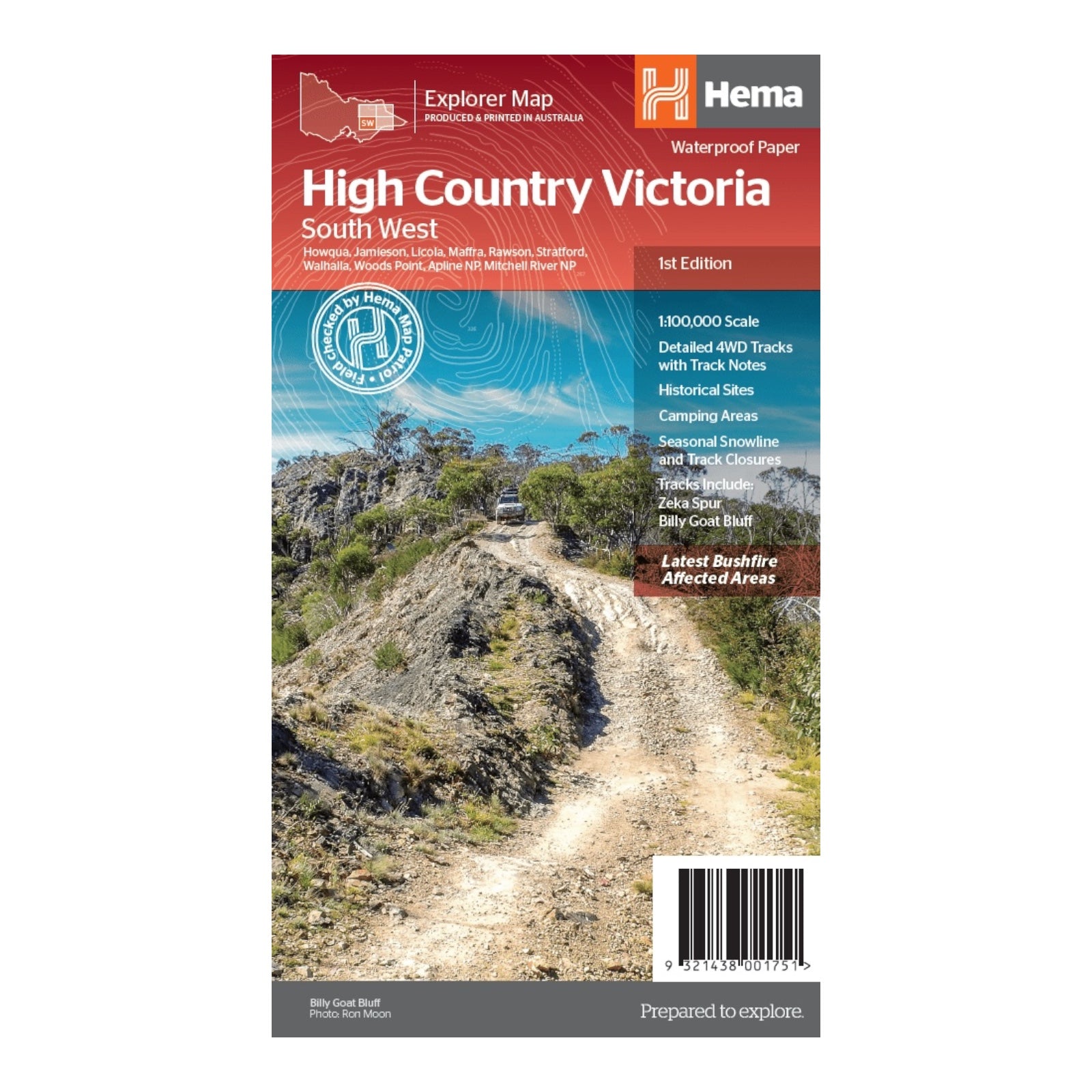
HEMA MAP HIGH COUNTRY VIC SOUTH WEST
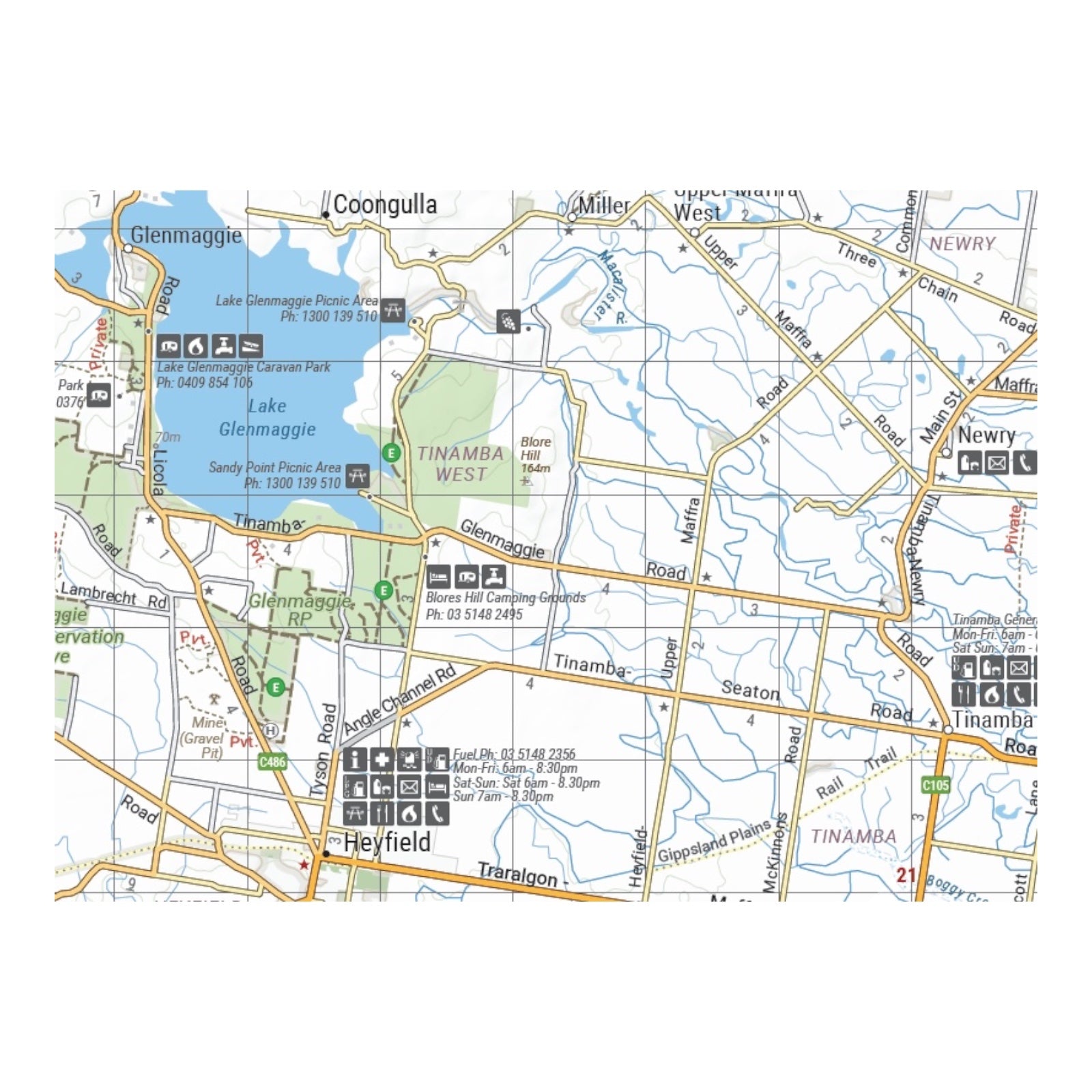
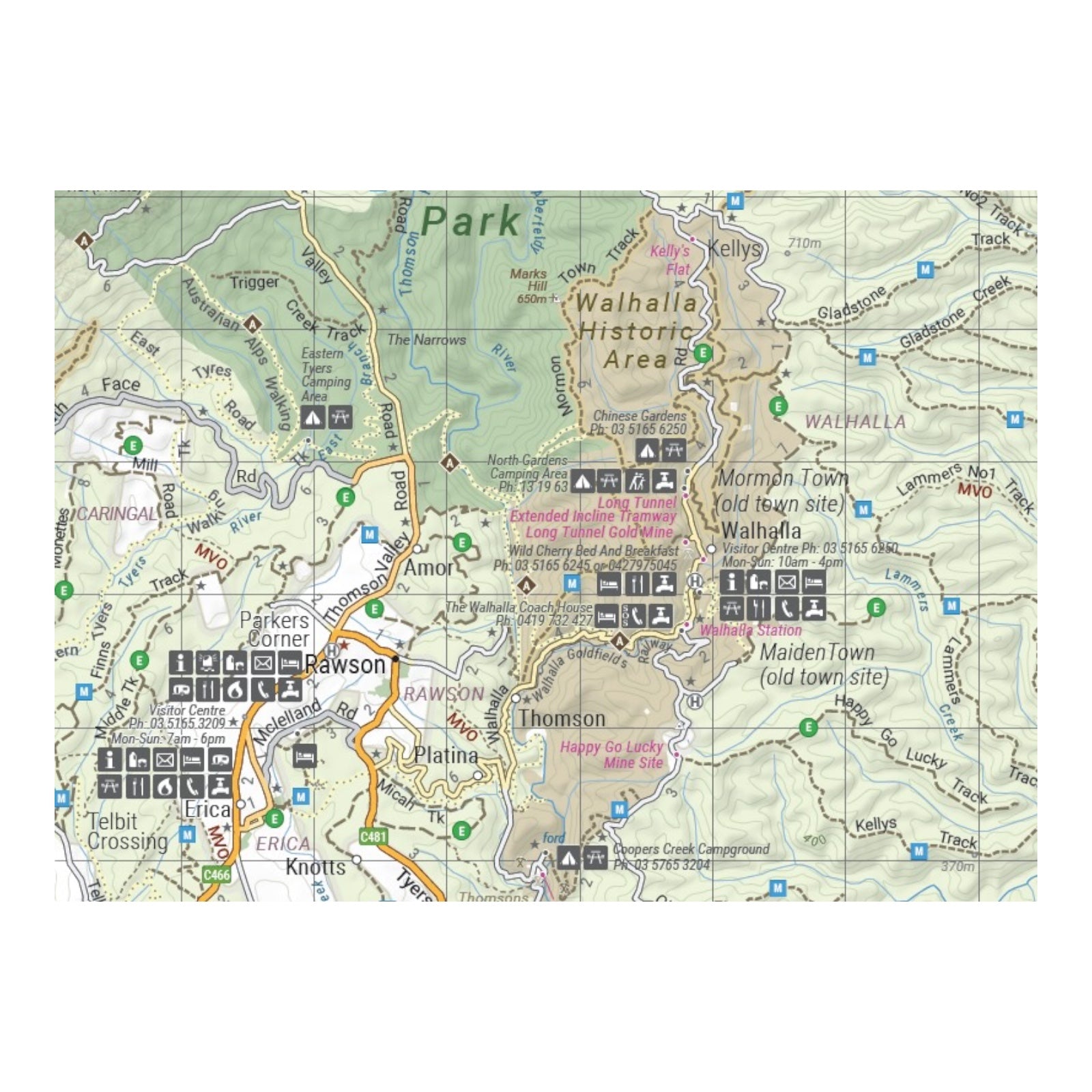
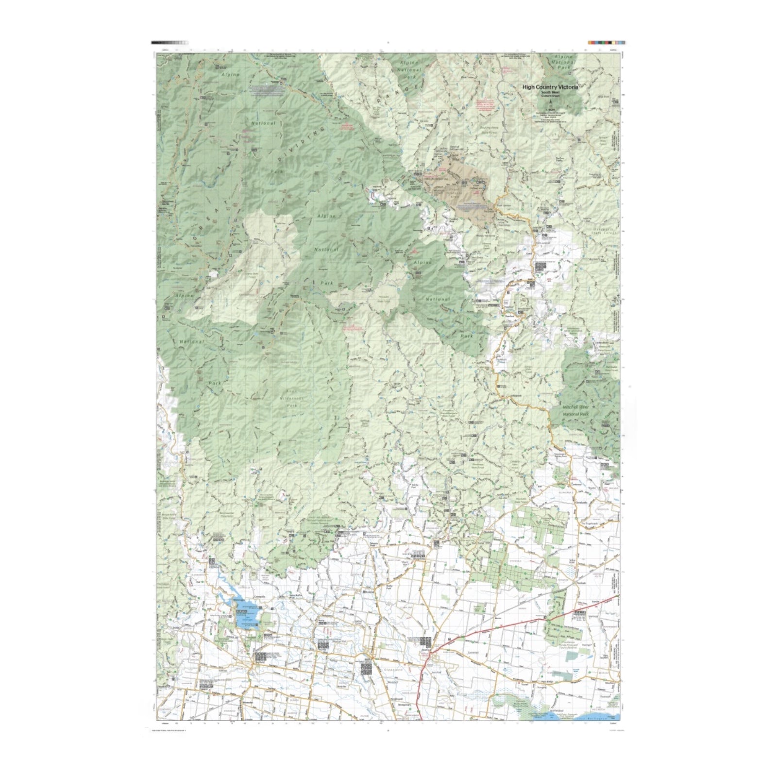
Part of Hema's new Victorian High Country Map Series, this map covers the Southern Ranges Area, showcasing a diverse and picturesque region including Baw Baw, Dargo, Bairnsdale, Buchan, Orbost, Lakes Entrance, Metung, Swifts Creek, Wentworth State Forest, and the surrounding areas. Printed on durable, waterproof paper, this map features Hema's iconic cartography and includes extensive points of interest. It integrates a complete database of roads and 4WD tracks, all meticulously field-checked by the Hema Map Patrol for exceptional accuracy.
In addition to detailed road and track information, the map provides crucial details such as seasonal track closures, camping areas, historic townsites, huts, accommodation options, and distance measurements. This map is an essential resource for four-wheel driving, hiking, and a wide range of outdoor recreational activities, offering comprehensive guidance for exploring the Southern Ranges Area.
FEATURES:
- Detailed 4WD tracks with notes
- Historical sites & old townsites
- Camping areas & huts
- Road distances
- Seasonal snowline and track closures
- Accommodation
- Tracks include; Zeka Spur, King Billy & Billy Goat Bluff
- Latest bushfire affected areas.
SPECICICATIONS:
- Edition: 1st
- Publication Date: 15/10/20
- Scale: 1:100,000
- Folded size: 140 x 250 x 3mm
- Flat size: 700 x 1000mm
- Weight: 0.09kgs
