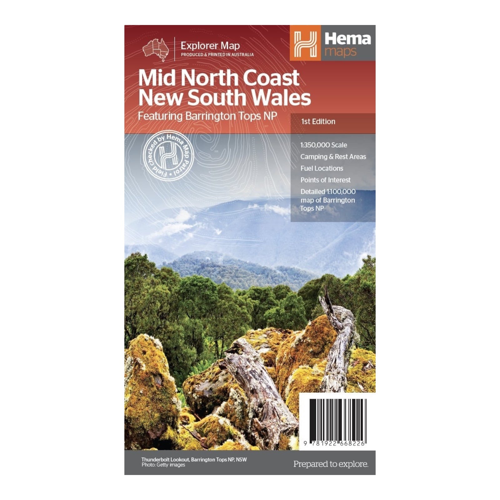
HEMA MAP MID NORTH COAST NSW
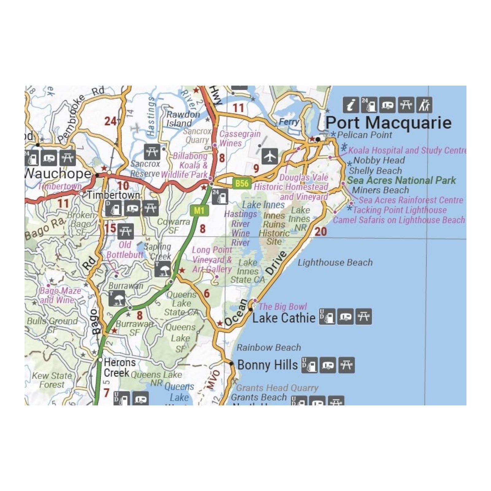
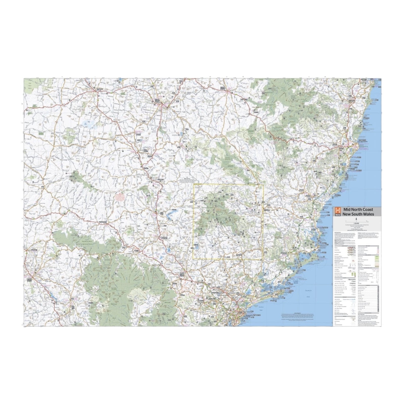
This regional map of the Mid North Coast of New South Wales provides detailed coverage at a scale of 1:350,000, spanning from Northern Newcastle and Mudgee in the west, to Gunnedah in the north, and Port Macquarie in the east.
The map includes key regions such as Gunnedah, Tamworth, Mudgee, Port Macquarie, Maitland, Kempsey, Taree, and Forster. It also features extensive coverage of several National Parks, including Barrington Tops NP, Oxley Wild Rivers NP, Hat Head NP, Carrai NP, Werrikimbe NP, Cottan-Bimbang NP, Mummel Gulf NP, Nowendoc NP, Curracabundi NP, Wollemi NP, Goulburn River NP, Yengo NP, and Towarri NP.
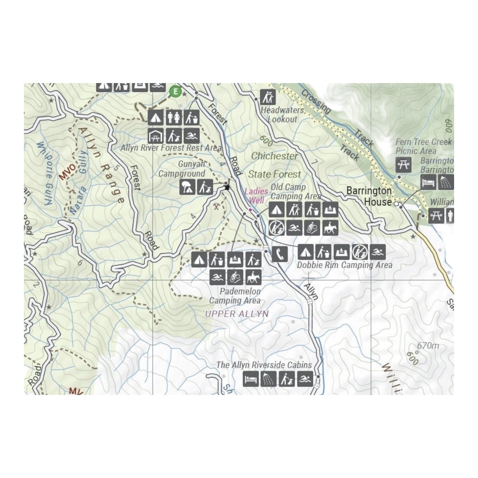
On the reverse side, the map offers a detailed inset of Barrington Tops National Park at a scale of 1:100,000. This side also provides comprehensive information about various regions, including visitor details, historical context, and background information, making it a valuable resource for exploring and understanding the area's natural and cultural features.
FEATURES:
- Comprehensive regional map of the Mid North Coast of New South Wales
- Camping & rest areas
- Fuel locations
- Points of Interest
- Detailed map of Barrington Tops National Park (at 1:100,000 scale)
- Detailed National Park Listing with facilities
- Tourist Information Centres
SPECIFICATIONS:
- Edition: 1th
- Publication Date: 1/09/2022
- Scale: 1:350,000
- Folded size: 140 x 250 x 3mm
- Flat size: 700 x 1000mm
- Weight: 0.09kgs
