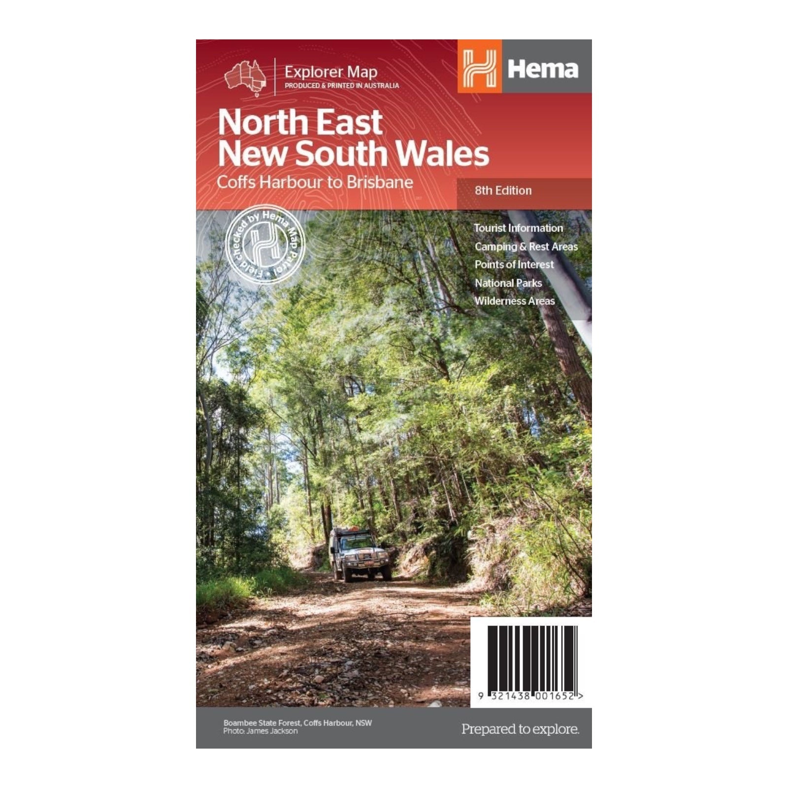
HEMA MAP NORTH EAST NEW SOUTH WALES
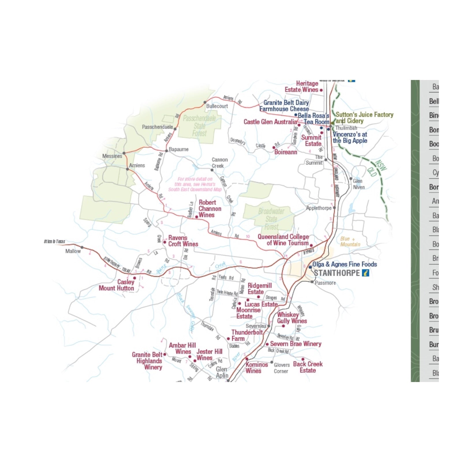
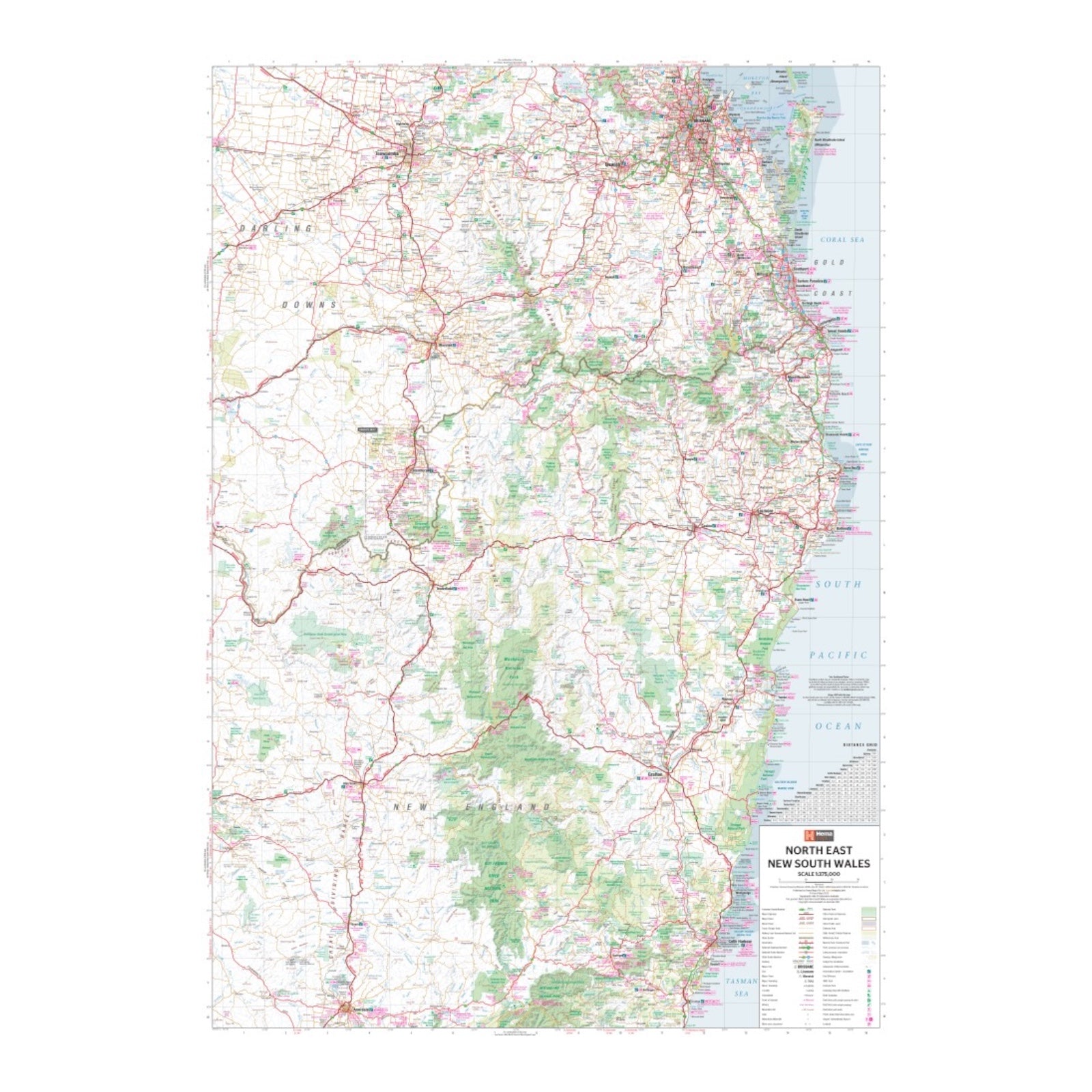
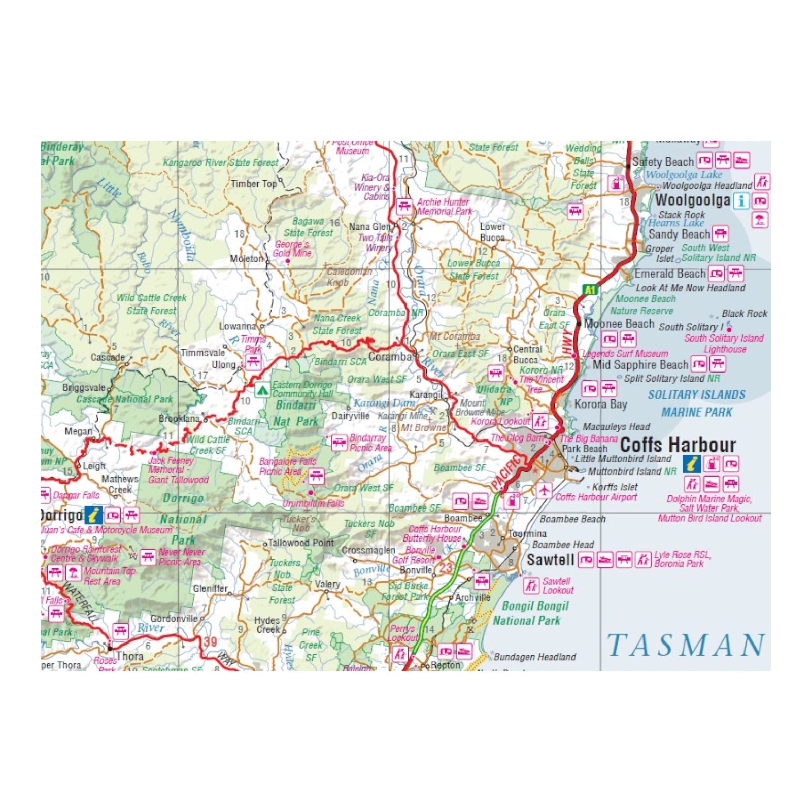
This regional map of North East New South Wales, scaled at 1:375,000, is an ideal companion for exploring the area. It highlights key touring routes such as the Summerland Way, Bruxner Highway, Waterfall Way, and Gwydir Highway, providing essential guidance for navigating these major roads. Additionally, the map details major tourist attractions along the Pacific Highway and the New England Highway.
The map also includes information on listed national parks within the region, along with contact details and event information, making it a valuable resource for both planning and enjoying your travels through North East NSW.
FEATURES:
- Top scenic drives
- Camping and rest areas
- Fully indexed
- Events and information
- Points of interest
- Waterproof paper
SPECIFICATIONS:
- Edition: 8th
- Publication Date: 01/12/13
- Scale: 1:375,000
- Folded size: 140 x 250 x 3mm
- Flat size: 700mm x 1000mm
- Weight: 0.09kgs
