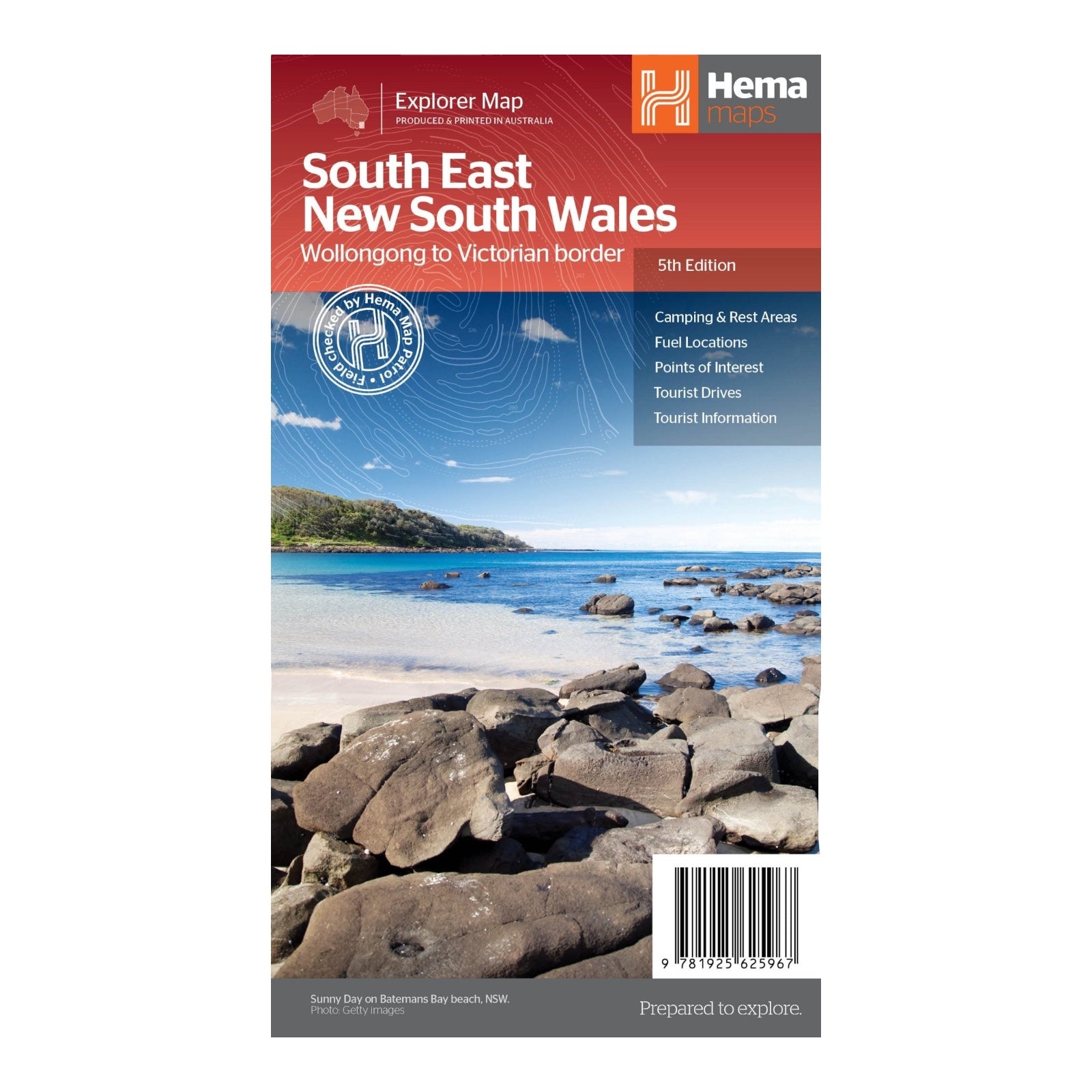
HEMA MAP SOUTH EAST NEW SOUTH WALES
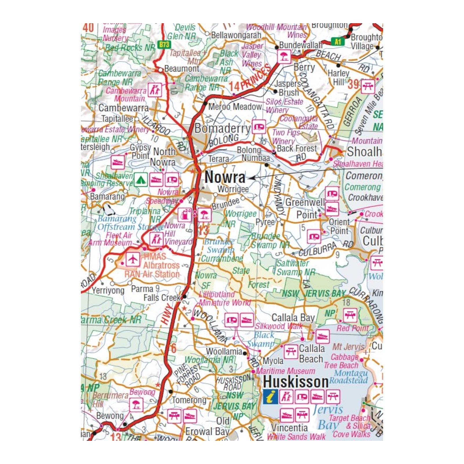
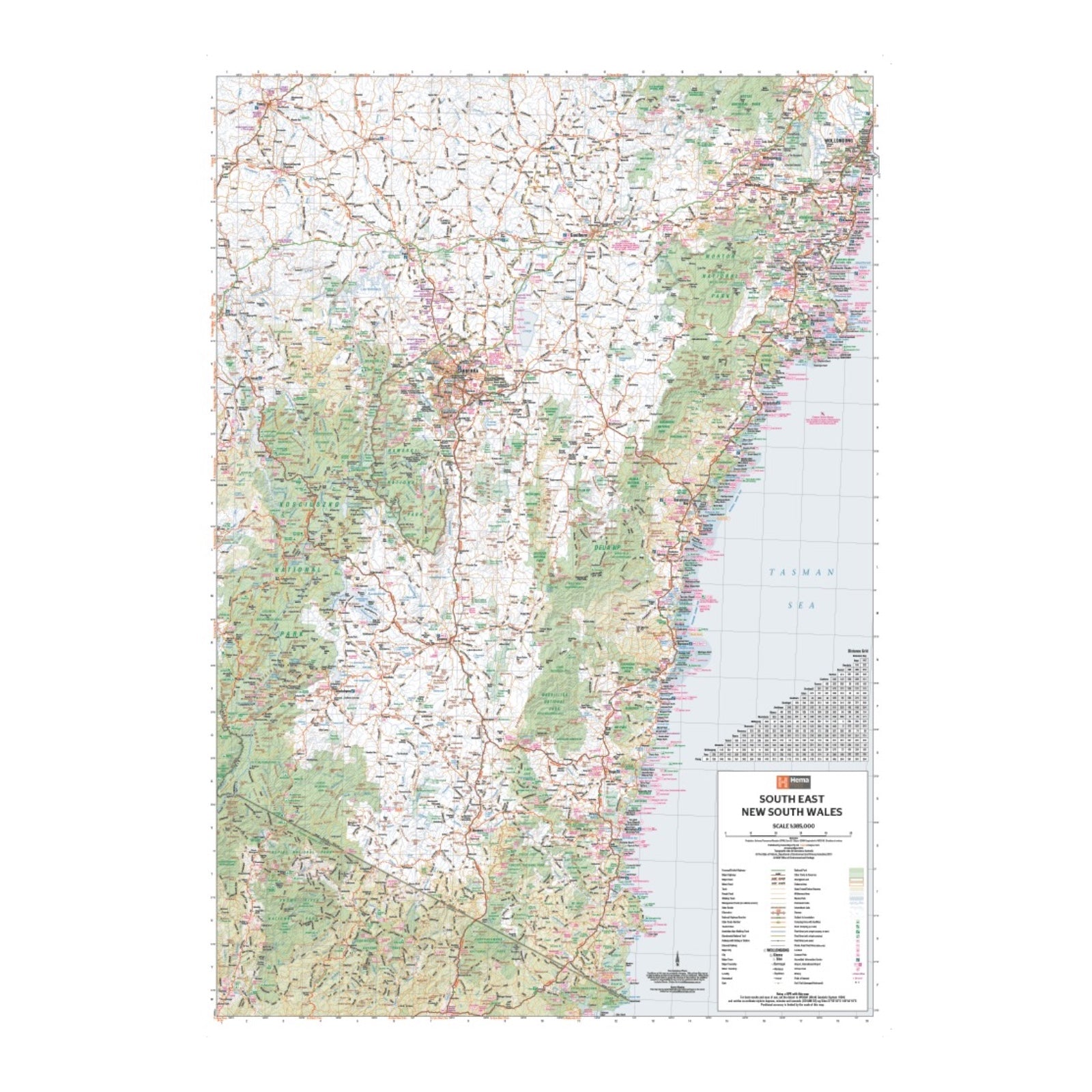
This regional map of South East New South Wales, at a scale of 1:385,000, covers a diverse and scenic area extending from Wollongong in the north to the Victoria border in the south, and from Gundagai in the west to past Jindabyne.
The map includes detailed coverage of several notable regions: Illawarra, Jervis Bay & Shoalhaven, Batemans Bay, Canberra & surrounds, Merimbula & Sapphire Coast, Southern Highlands, Goulburn Region, and the Snowy Mountains.
On the reverse side, you’ll find extensive information on these regions, including visitor details, historical context, and background information, providing a comprehensive resource for exploring and understanding South East NSW.
FEATURES:
- Comprehensive map of South East New South Wales
- Camping & rest areas
- Fuel locations
- Tourist drives
- Detailed National Park Listing with facilities
- Tourist Information Centres
SPECIFICATIONS:
- Edition: 5th
- Publication Date: 12/03/2014
- Scale: 1:385,000
- Folded size: 140 x 250 x 3mm
- Flat size: 700 x 1000mm
- Weight: 0.09kgs


