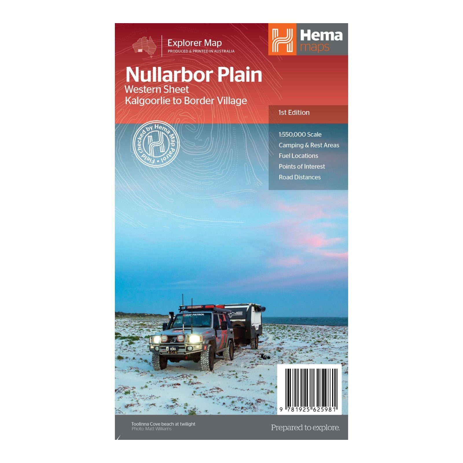
HEMA MAP NULLARBOR PLAIN WESTERN
This map set covers one of the world's great adventure drives: Australia's Nullarbor Plain, stretching 1,256 kilometers (781 miles) along the Eyre Highway between Adelaide and Perth. Divided into two maps, the Eastern Sheet spans from Port Pirie to Border Village, while the Western Sheet covers Border Village to Kalgoorlie.
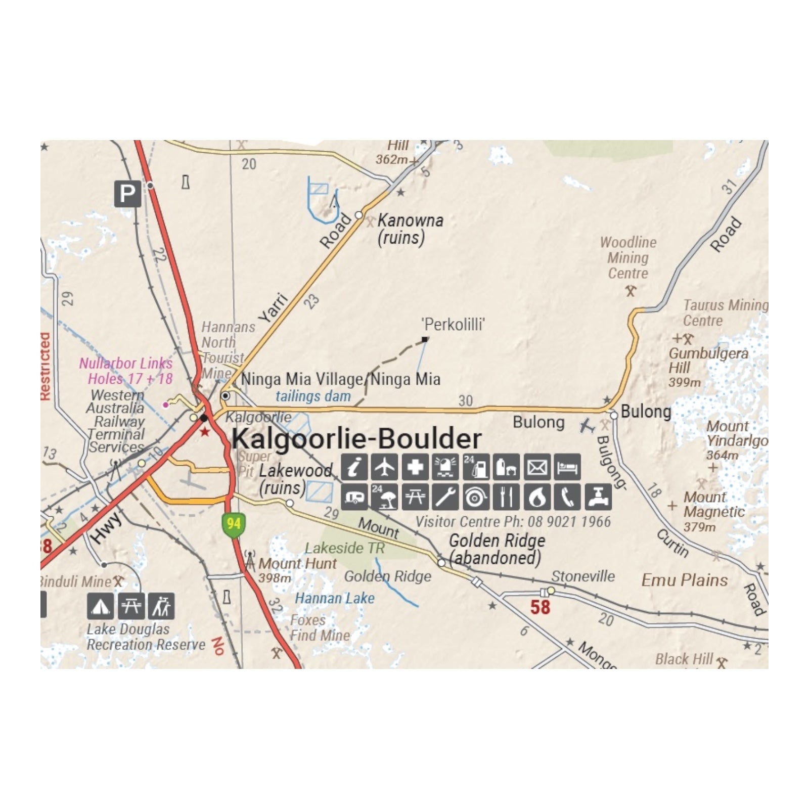
In addition to detailing key sites and facilities along the Eyre Highway, these maps highlight attractions off the beaten path, such as the Nullarbor caves, the iconic beaches of the Great Australian Bight, and extensive 4WD tracks, including the Old Coach Road (accessible by permit). Field-checked by the Hema Map Patrol for precision, the maps integrate Hema’s comprehensive road and 4WD track database with touring points of interest, topographic details, and information on camping and rest areas, fuel locations, accommodation, distances, and historical insights.
FEATURES:
- 4WD tracks (including Old Coach Road)
- Camping & rest areas
- Fuel Locations
- Road distances
- Accommodation
- Caves and Beaches
- History of the area
SPECIFICATIONS:
- Edition: 1st
- Publication Date: 12/08/21
- Scale: 1:550,000
- Folded size: 140 x 250 x 3mm
- Flat size: 1000 x 700mm
- Weight: 0.09kgs


