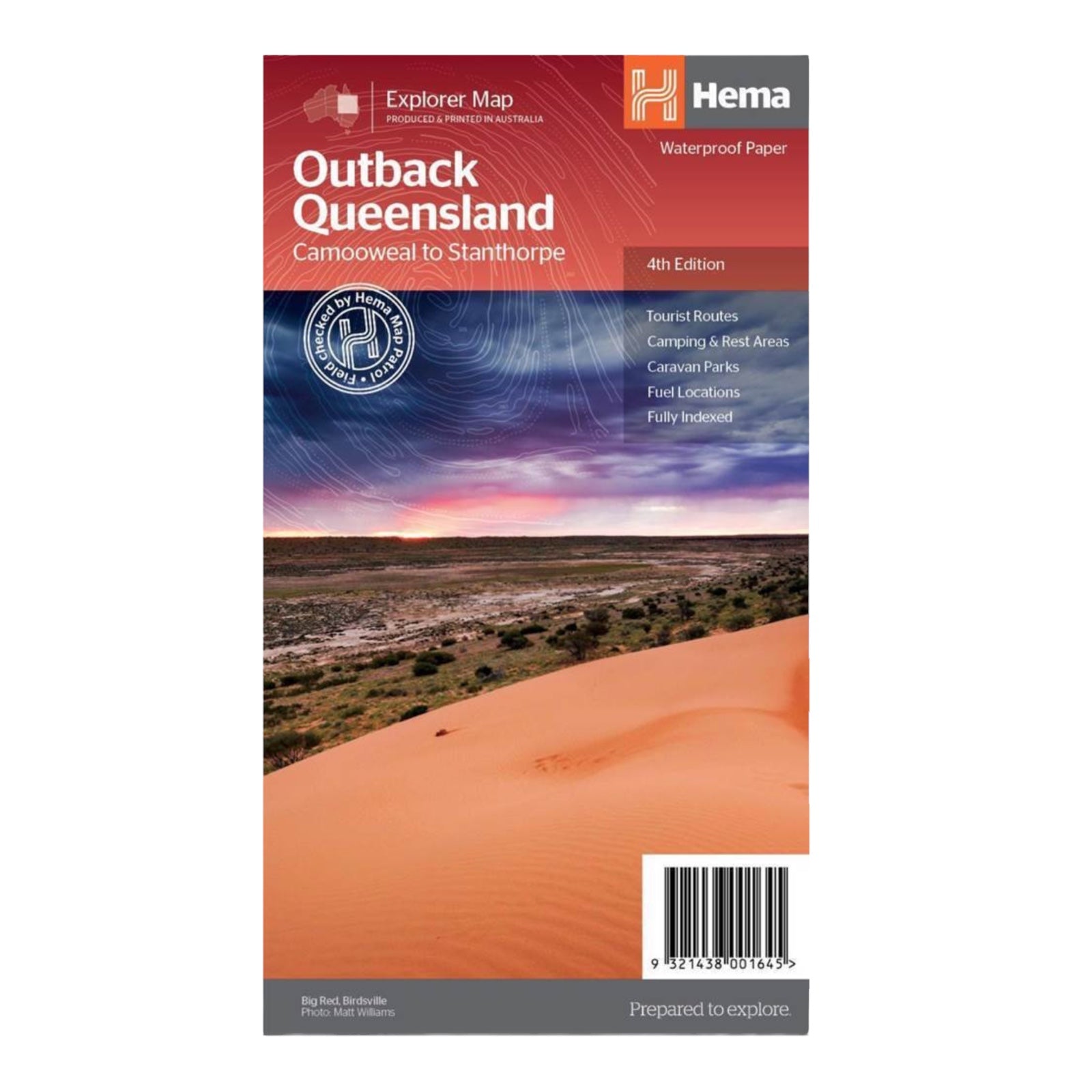
HEMA MAP OUTBACK QUEENSLAND
The "Outback Queensland" map offers a detailed and immersive look at one of Australia's most iconic regions. At a scale of 1:1,500,000, it covers areas from the inland borders to Toowoomba in the east and Charters Towers in the north. The map features hill shading and elevation tinting to provide a realistic depiction of the region's diverse landscape.
In addition to the main mapping, the map includes extensive visitor information for the Channel Country, Matilda Country, and the Overlanders Way. It features a town and locality index along with crucial contact details to assist with touring the region. Detailed maps are also provided for Bladensburg, Idalia, Currawinya, Diamantina, and Carnarvon Gorge national parks, offering comprehensive coverage for exploring the natural wonders of Outback Queensland.


