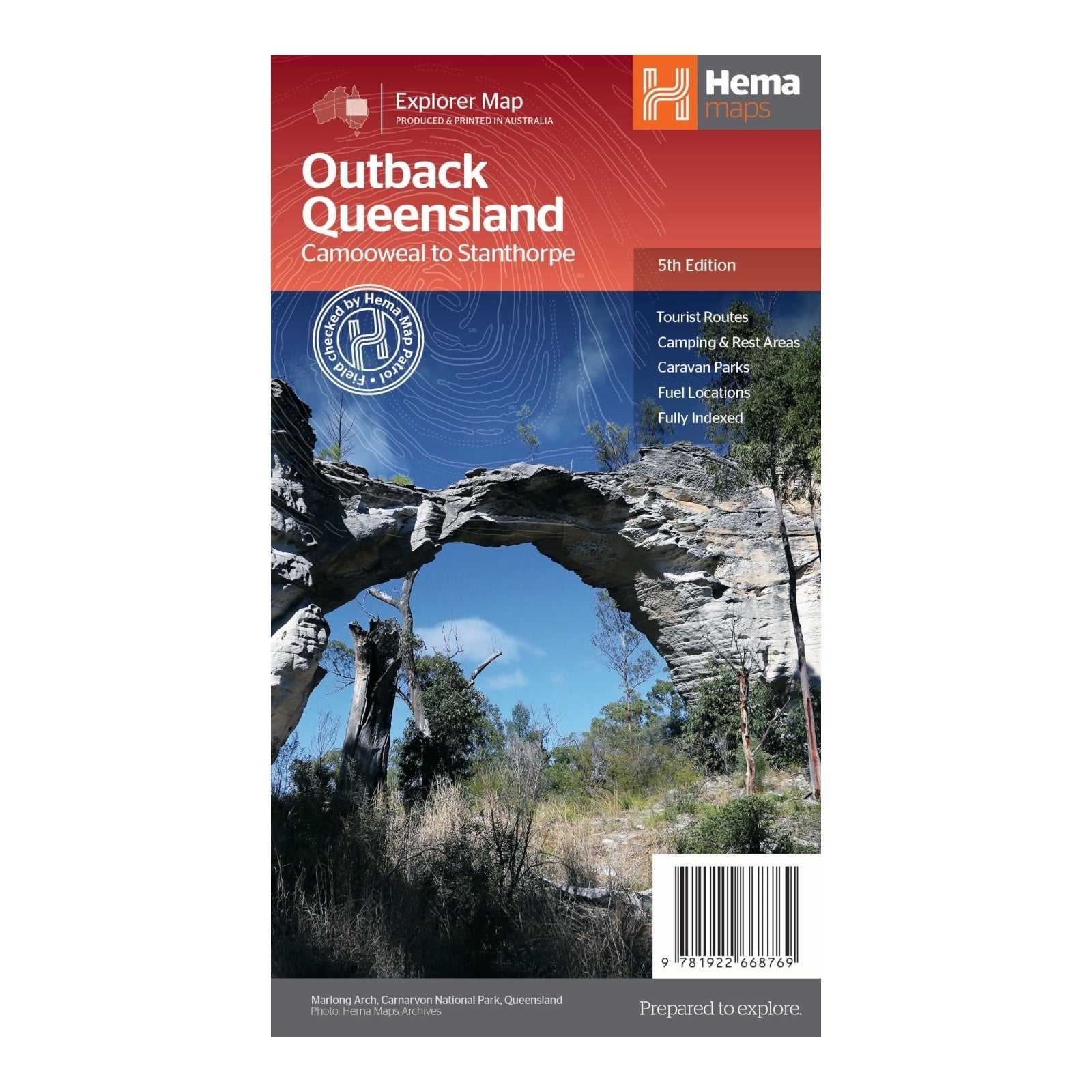
HEMA MAP OUTBACK QUEENSLAND
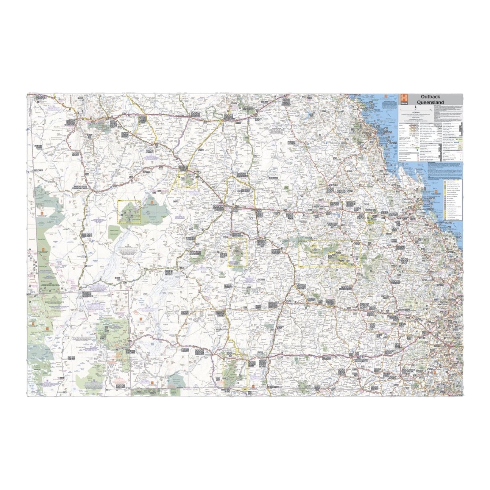
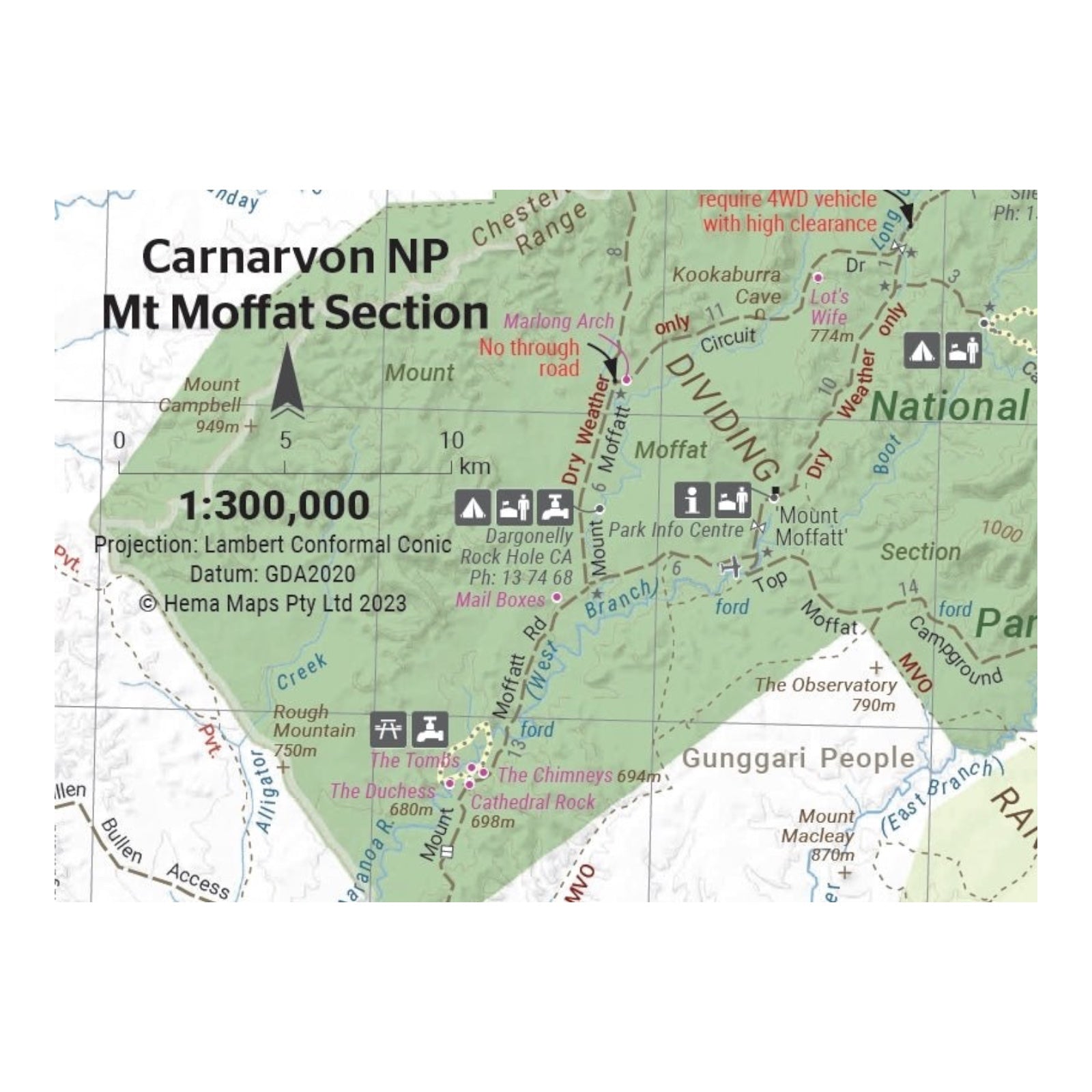
The Outback Queensland map provides detailed mapping and visitor information for one of Australia’s most iconic regions. With a scale of 1:1,500,000, it covers a vast area extending from the inland borders to Toowoomba in the east and Charters Towers in the north. The map features hill shading and elevation tinting, offering a realistic and visually engaging interpretation of the region’s varied landscapes. This map is an essential resource for travelers seeking to explore and navigate the rugged beauty of Outback Queensland.
FEATURES:
- GPS surveyed roads & tracks
- National parks
- Camping areas
- Fuel Stops
- Key touring routes
SPECIFICATIONS:
- Edition: 5th
- Publication Date: 30/05/23
- Scale: 1:1,500,000
- Folded size: 140 x 250 x 3mm
- Flat size: 700 x 1000mm
- Weight: 0.09kgs


