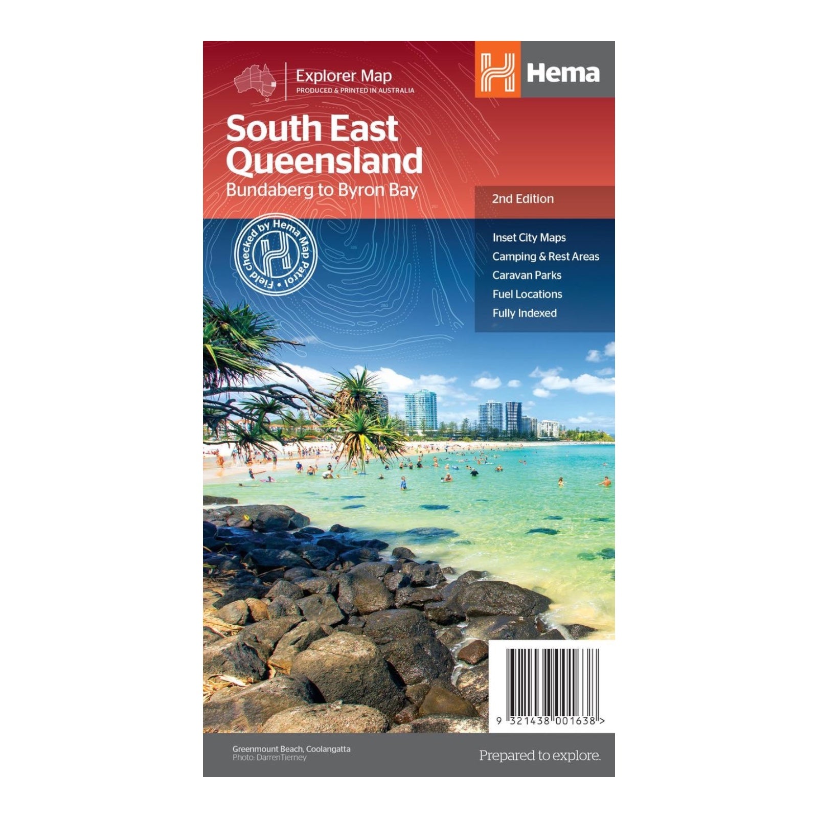
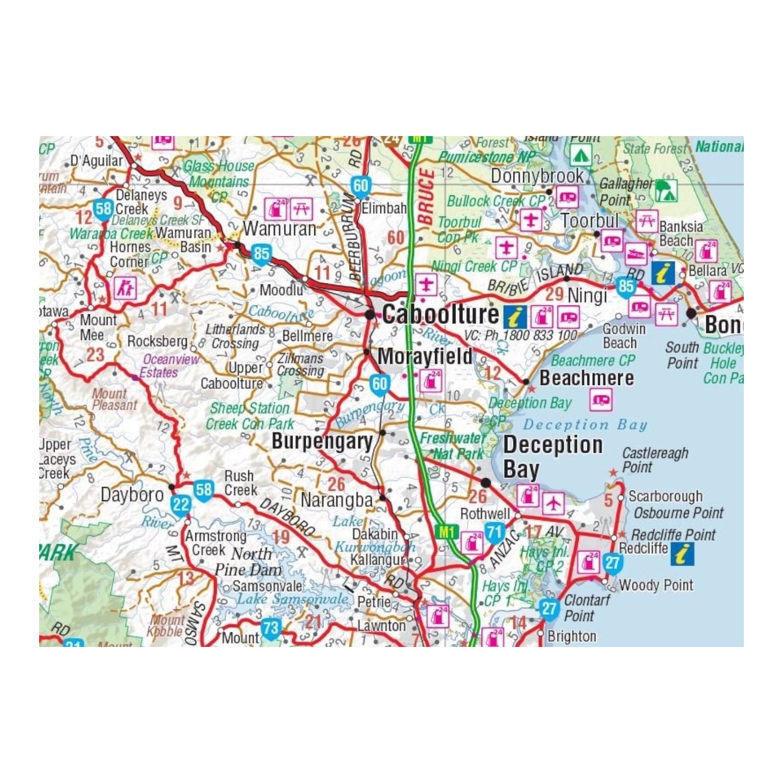
HEMA MAP SOUTH EAST QUEENSLAND
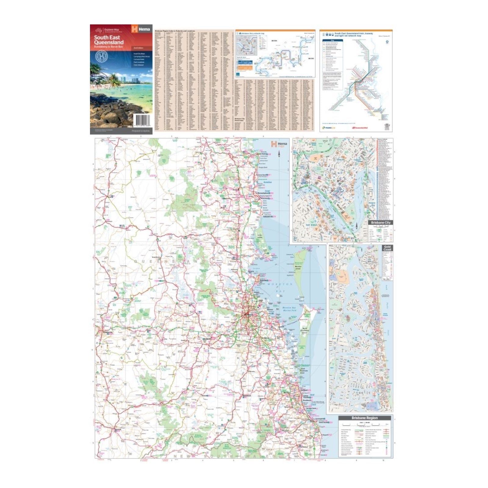
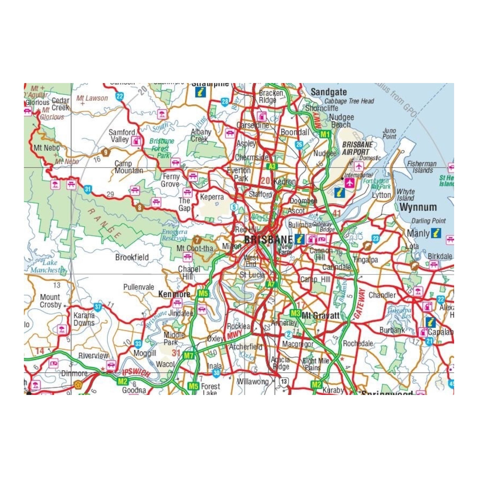
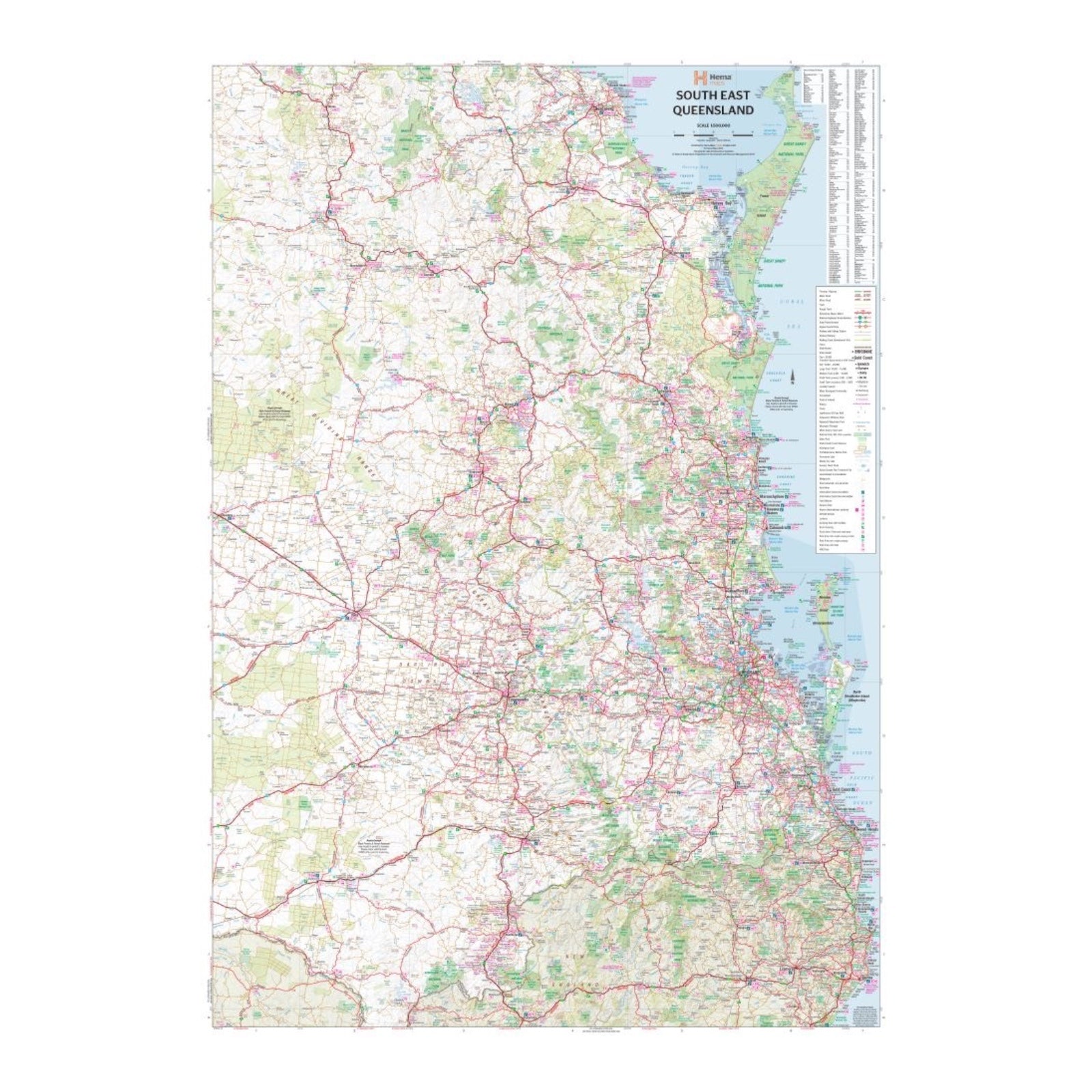
This detailed map set offers a broad and focused view of South East Queensland. The primary map, scaled at 1:500,000, covers the region from the New South Wales-Queensland border to beyond Bundaberg, providing a comprehensive overview of major towns, highways, and geographical features. On the reverse side, the map features detailed insets: the Brisbane Region at a scale of 1:300,000, highlighting key roads, suburbs, and landmarks; a close-up of Brisbane City, showcasing streets, local parks, and significant buildings; and a detailed map of the Gold Coast, emphasizing the coastline, major roads, and recreational areas. This dual-sided design offers both a broad regional perspective and precise urban details, making it a valuable tool for navigation and exploration in South East Queensland.
FEATURES:
- Inset Maps (Brisbane City and Gold Coast)
- Camping & rest areas
- Caravan Parks
- Fuel Locations
- National parks
- Rail & ferry network maps
- Brisbane region suburb and location index
SPECIFICATIONS:
- Edition: 2nd
- Publication Date: 01/09/2014
- Scale: 1:500,000
- Folded size: 140 x 250 x 3mm
- Flat size: 700 x 1000mm
- Weight: 0.09kgs
