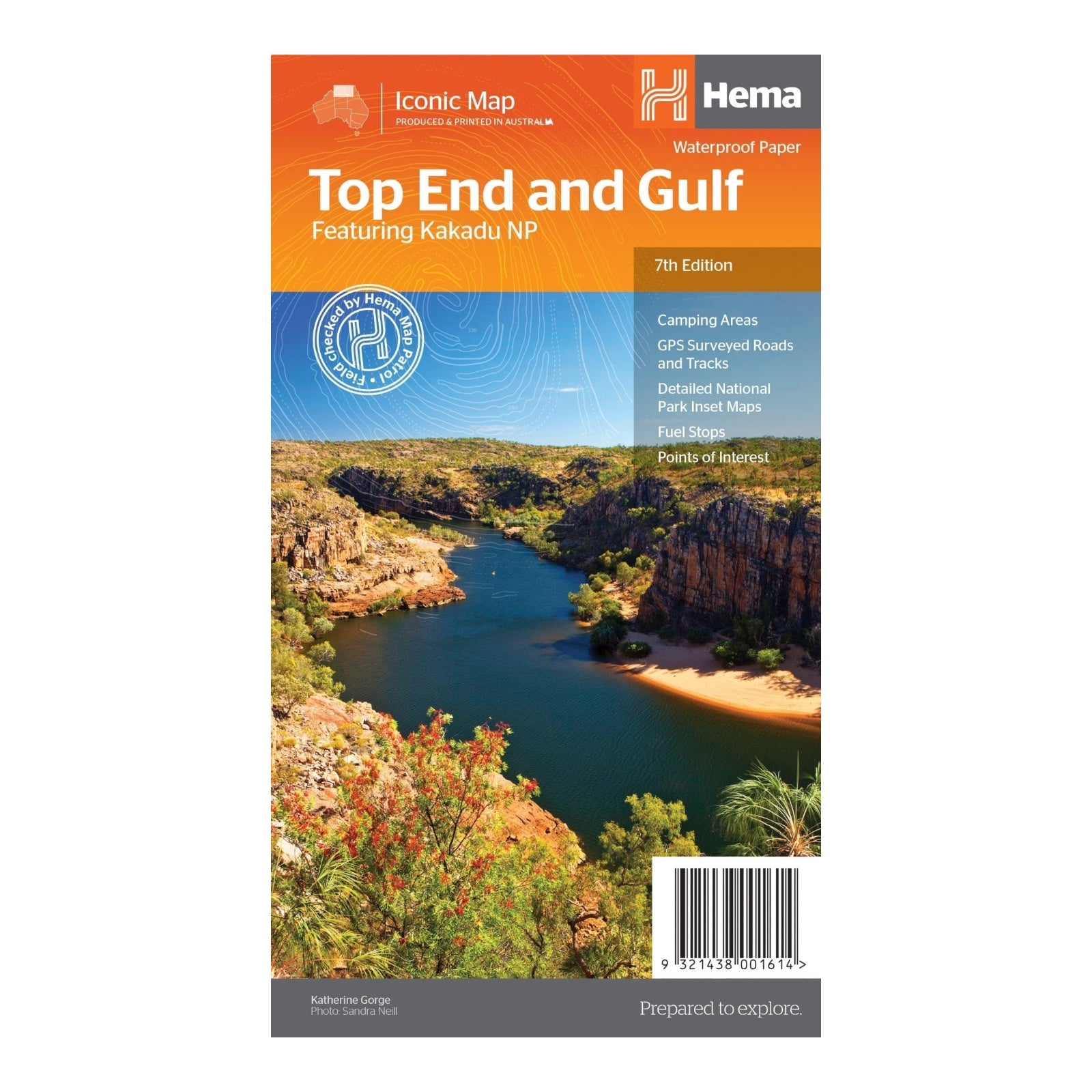
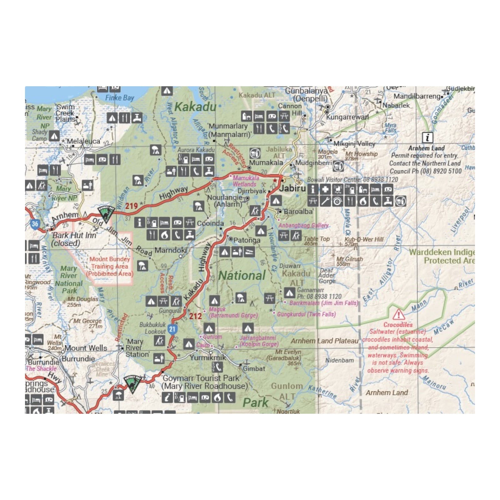
HEMA MAP TOP END AND GULF
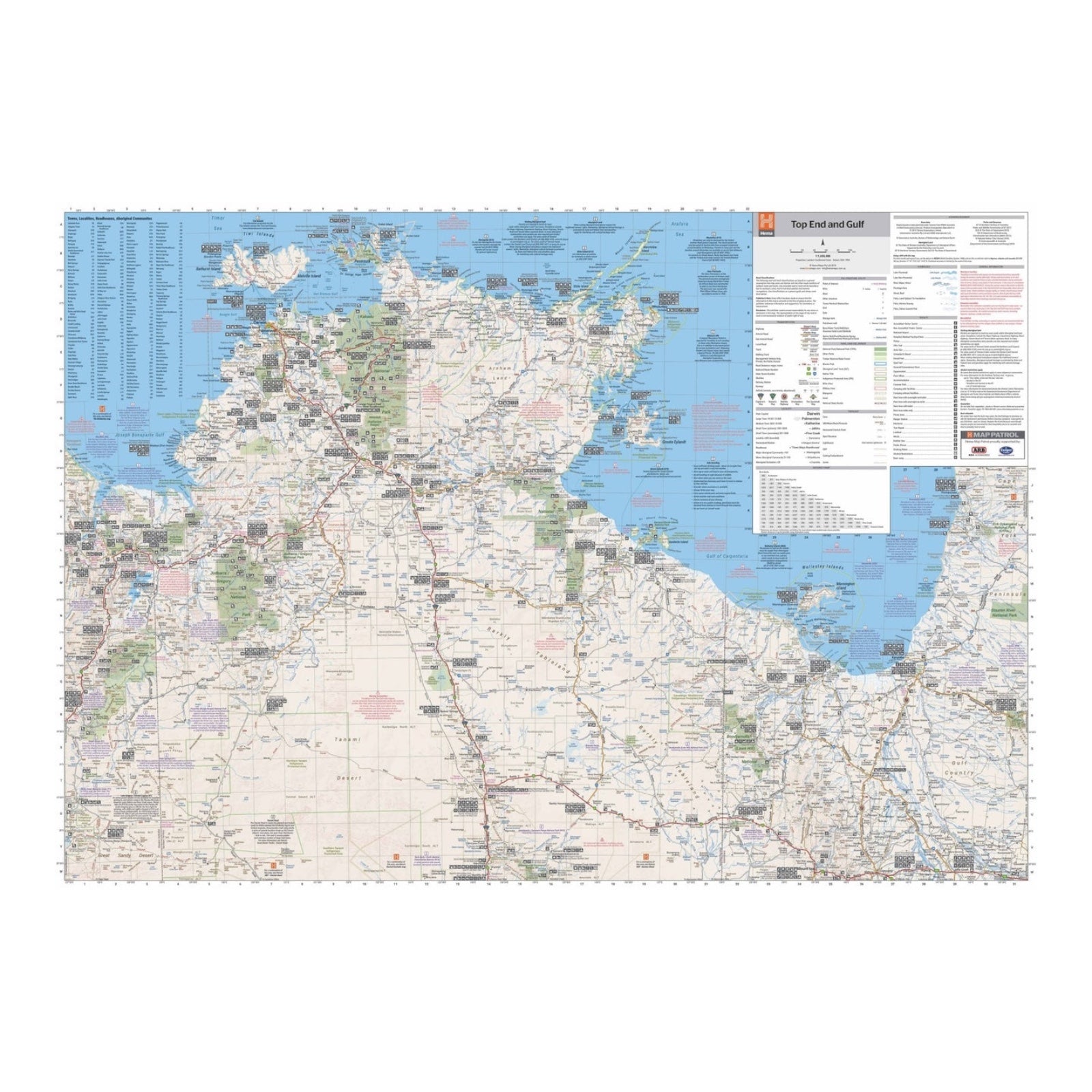
This regional waterproof map of the Top End and Gulf is designed for exploring the northern parts of Australia's Northern Territory by 4WD. It features a detailed main map that covers key areas including the Darwin region, Judbarra / Gregory National Park, Nhulunbuy, Keep River National Park, and Boodjamulla (Lawn Hill) National Park.
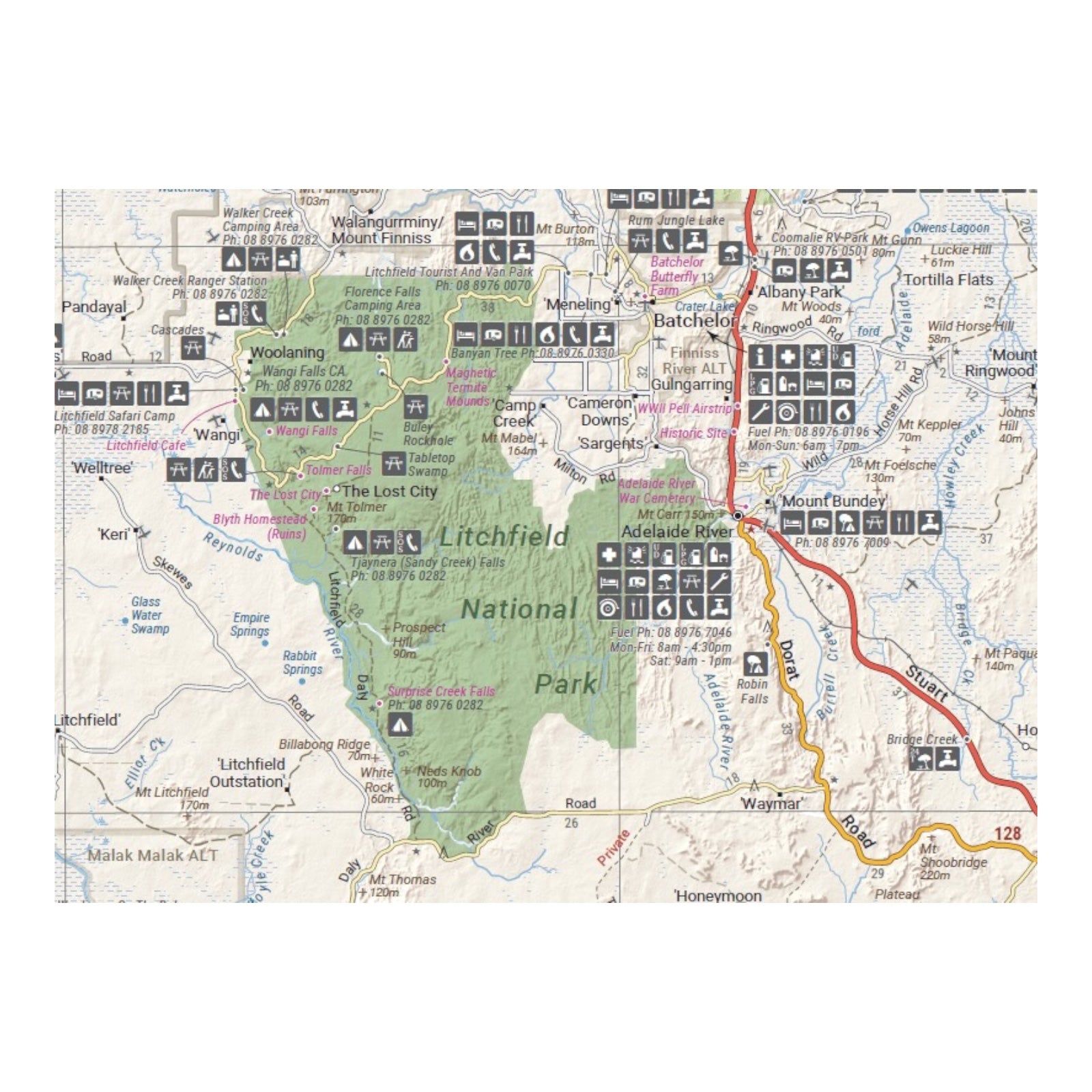
In addition to the main mapping, the map provides extensive tourist information for several regions. This includes Arnhem Land, the Roper River trek, the Darwin region, the Douglas-Daly district, Nature’s Way, the Victoria Highway, the Katherine Region, and the Stuart Highway Region. This comprehensive coverage and additional information make it an essential tool for navigating and discovering the diverse landscapes and attractions of the Top End and Gulf.
FEATURES:
- Fuel stops
- Self-drive 4WD tracks
- Camping areas
- Historic sites
- Detailed National Park inset maps
- Waterproof paper
SPECIFICATIONS:
- Edition: 7th
- Publication Date: 01/07/19
- Scale: 1:1,650,000
- Folded size: 140 x 250 x 3mm
- Flat size: 700mm x 1000mm
- Weight: 0.09kgs
