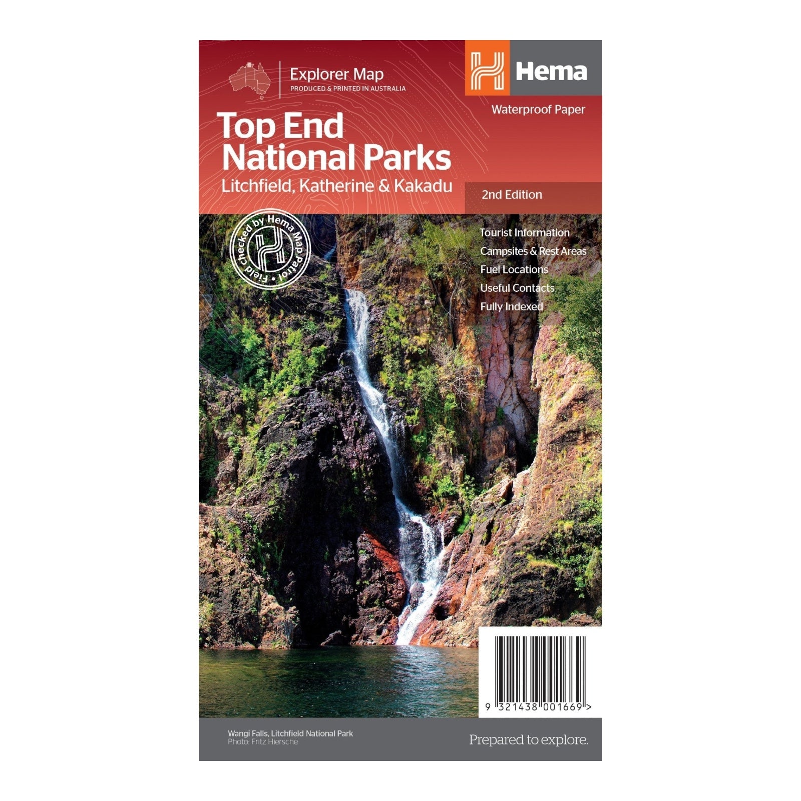
HEMA MAP TOP END NATIONAL PARKS
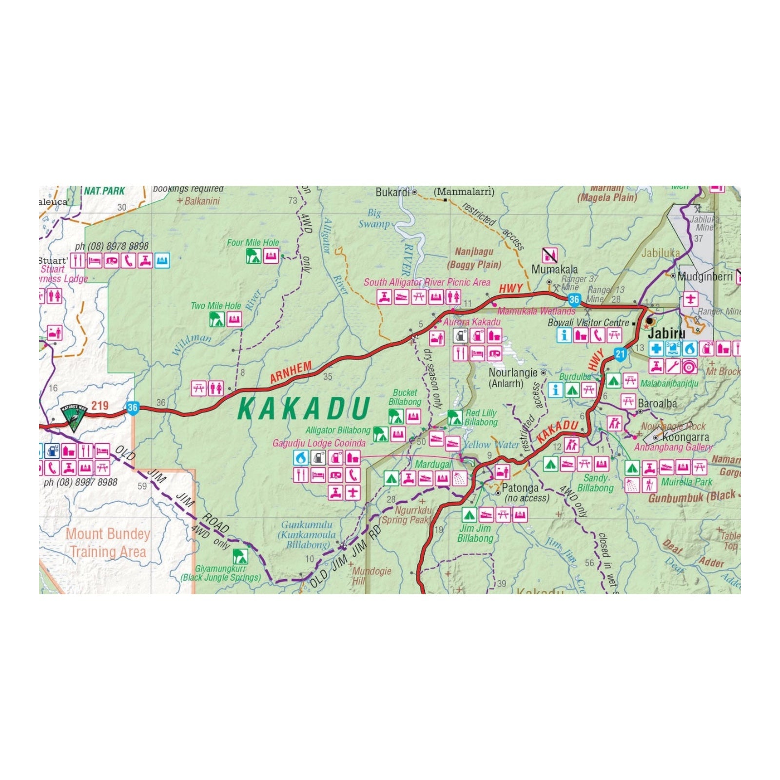
This regional map offers a detailed overview of Northern Australia's key attractions, with specific focus on Litchfield National Park, Katherine Gorge (Nitmiluk) National Park, and Kakadu National Park. The map provides precise coverage at scales of 1:160,000 for Litchfield, 1:350,000 for Katherine Gorge and Kakadu, and 1:850,000 for the Darwin region.
It includes extensive tourist information for Darwin and its surrounding areas, covering essential routes such as the Arnhem Highway to Kakadu, Mary River, and the Stuart Highway to Katherine. The map also highlights significant national parks, offering comprehensive facility listings and contact details for accommodation and visitor centers across the region.
This resource ensures you have up-to-date and thorough information for navigating the Northern Territory's iconic parks and exploring the surrounding areas.
FEATURES:
- National Parks facility listing
- Popular tourist routes
- Campsites & rest areas
- Tourist information
SPECIFICATIONS:
- Edition: 2nd
- Publication Date: 01/11/14
- Scale: 1:850,000 & 1:160,000
- Folded size: 140 x 250 x 3mm
- Flat size: 700 x 1000mm
- Weight: 0.09kgs


