HEMA MAP VICTORIA DESERTS TOURING GUIDE
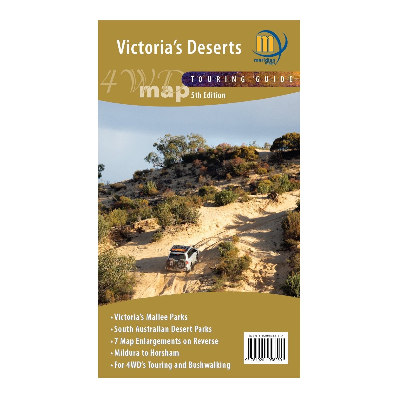
Victoria’s Deserts 4WD Map (5th Edition) is a specialized resource designed for off-road enthusiasts exploring the Mallee and northern Wimmera districts of Victoria and far eastern South Australia. This map, scaled at 1:350,000, provides detailed coverage of Victoria’s notable desert national parks and state forests, including Little Desert, Wyperfeld, Murray-Sunset, Hattah-Kulkyne, and Big Desert. It also includes sections of South Australia’s accessible parks and reserves, such as Murray River National Park, Ngarkat, and Scorpion Springs Conservation Reserves.
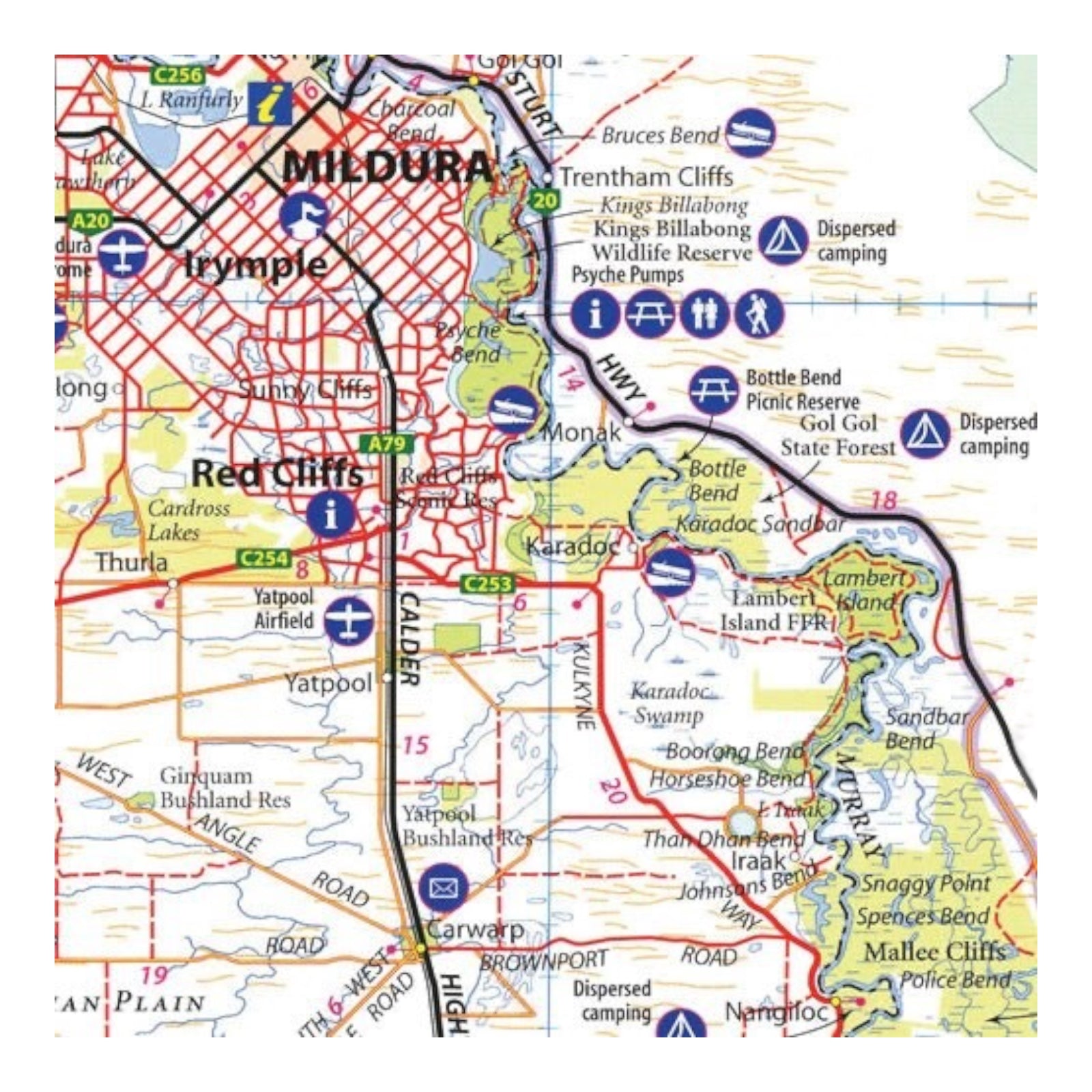
Tailored for 4WD users, this map offers comprehensive information essential for navigating this unique landscape. It features detailed information on campgrounds and facilities, major 4WD touring routes like the Border Track and Murrayville Track, and includes important phone numbers and regional references. The map’s expansive coverage ensures all roads, 4WD tracks, and numerous walking trails are clearly marked, making it a vital tool for adventurers, tourist operators, and businesses in Victoria’s desert regions.


